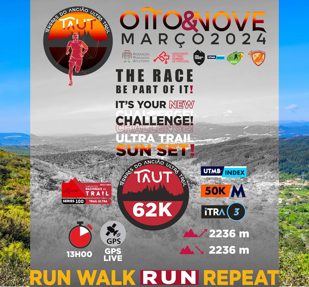
TAUT ULTRA 62K
TAUT – Lands of the Elder Ultra Trail “Two days of pure TRAIL in a setting where the combination of art and landscape based on a natural element that characterizes them - Stone”
Trail Running Moderate
- Distance
- 61 km
- Ascent
- 2.6 km
- Descent
- 2.6 km
- Duration
- 1 day +
- Low Point
- 190 m
- High Point
- 755 m
- Gradient
- 12˚
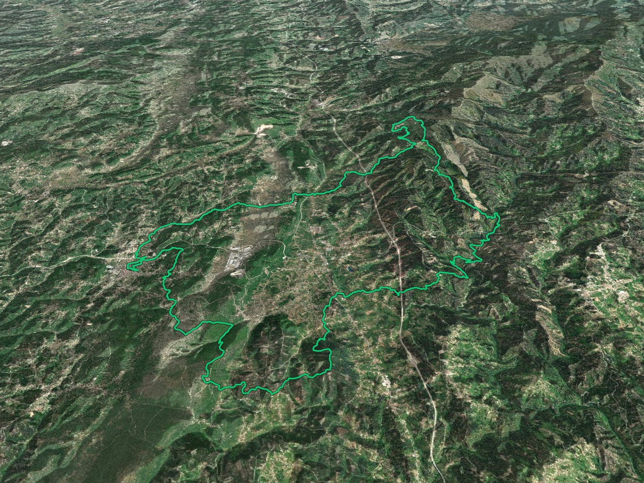
TAUT – TERRAS DO ANCIÃO ULTRA TRAIL is already a reference at national level and in 2024, we will maintain this reference with the 10th edition of Trail Running, starting in Ansião, scoring for the 62Km Ultra Trail National Circuit, where the passage through the roads and paths of the Municipalities of Penela (Freguesia da Cumieira and São João do Deserto), Figueiró dos Vinhos (Cercal, Arega and Aguda), and Alvaiázere (Serra de Alvaiázere). -ANGEL CHALLENGE is already in the memory of many athletes! And yours? TAUT will be at 1pm on Saturday, March 9th, in a party atmosphere. -Location: Ansião (39.912778, -8.433260); -ATRP, ITRA and UTMB-Mont-Blanc certification and scores The routes of all TAUT races are certified by ATRP, ITRA and UTMB-Mont-Blanc, with the respective score being awarded to all participants who finish their races.
Difficulty
Moderate
Medium Exposure

The trail contains some obstacles such as outcroppings and rock which could cause injury.
Remoteness
Away from help but easily accessed.