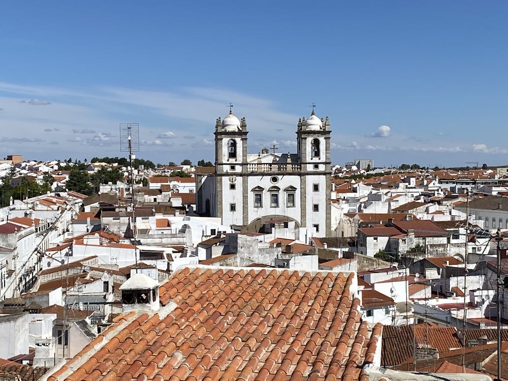
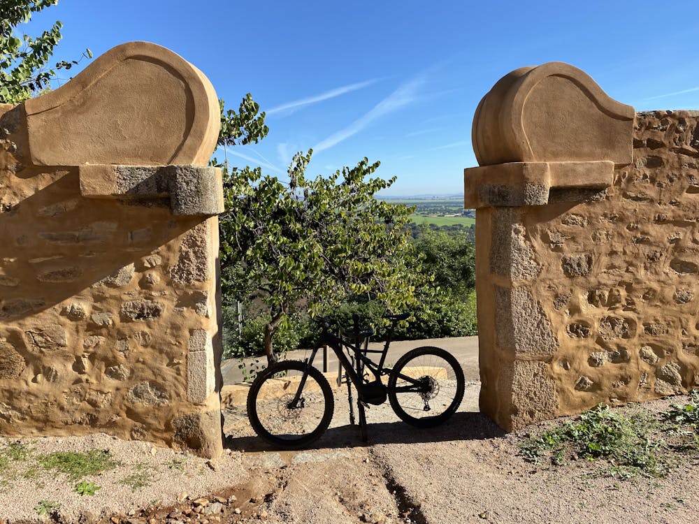
Campo Maior-Degolados-Ouguela
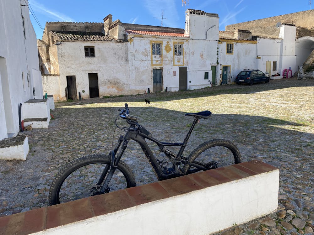
Rota Alentejo CM - Misto BTT - Estrada
Mountain Biking Moderate
- Distance
- 53 km
- Ascent
- 600 m
- Descent
- 600 m
- Duration
- 4-5 hrs
- Low Point
- 193 m
- High Point
- 333 m
- Gradient
- 2˚

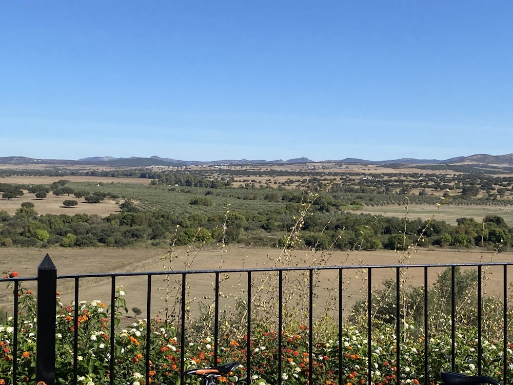
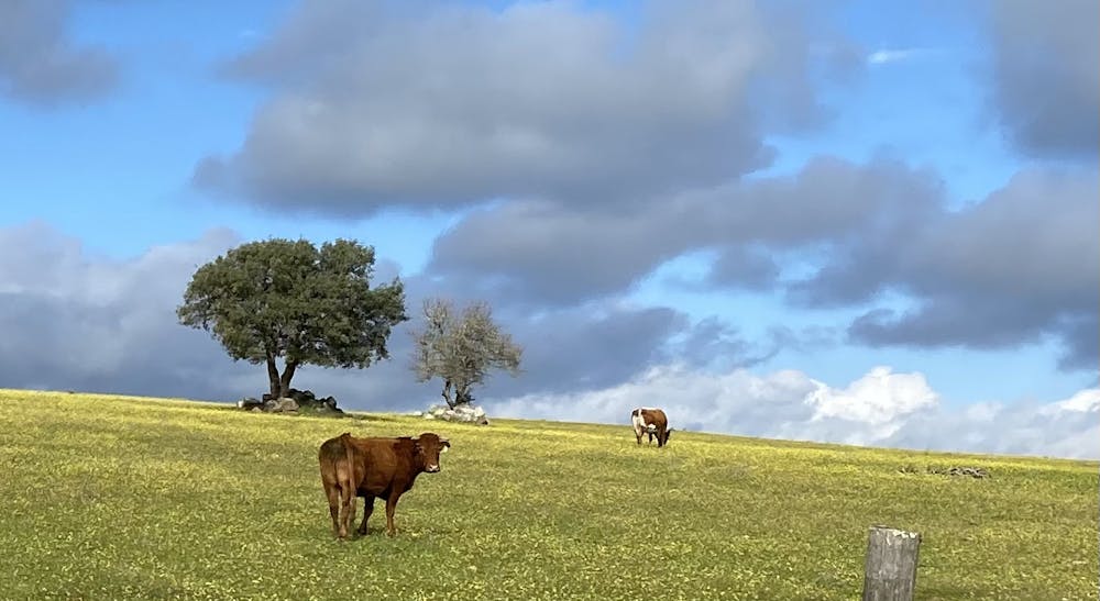
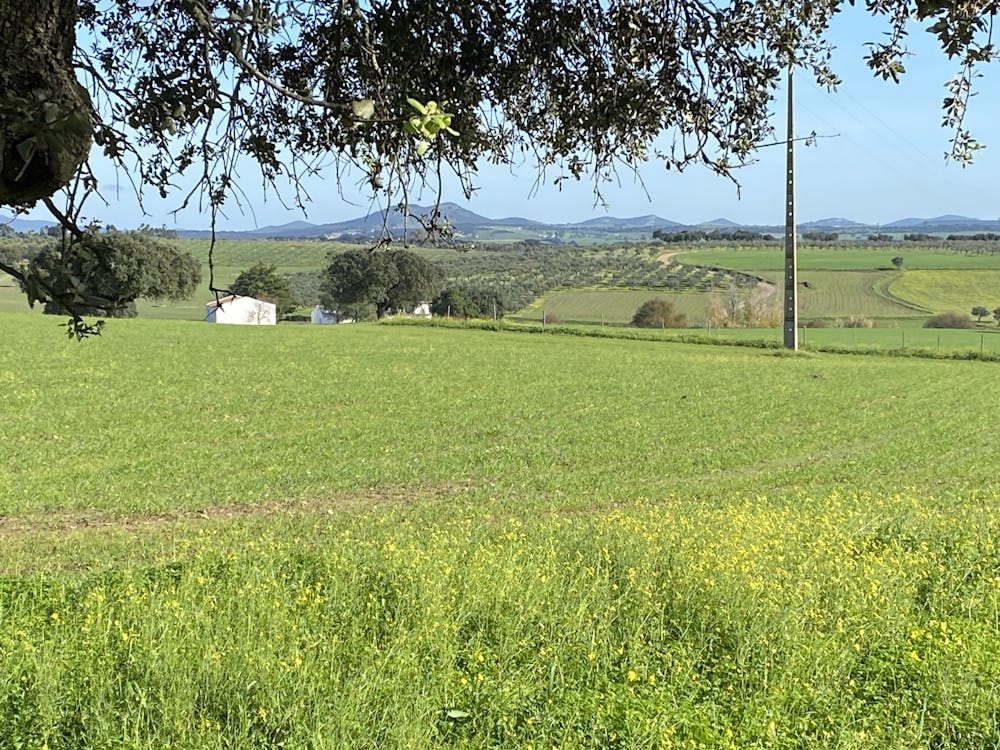
This is a popular mountain biking route which is generally considered to be moderate. It's not remote, it features low exposure and is typically done between November and April. From a low point of 193 m to the maximum altitude of 333 m, the route covers 53 km, 600 vertical metres of ascent and 600 vertical metres of descent.
- •
- •
- •
- •
- •
- •
- •
Description
Rota fácil com baixo desnível e acessível
Difficulty
Moderate
Mostly stable trail tread with some variability, with unavoidable obstacles 8in/20cm tall or less. Other obstacles such as rock gullies and steep sections may exist. Ideal for lower intermediate riders.
Low Exposure

The path is on completely flat land and potential injury is limited to falling over.
Remoteness
Close to help in case of emergency.
Best time to visit
Features
- Hike a bike
- Wet-weather friendly
- Roots