Vezirac trejl
Track of the Vezirac trail race with extension to Stražilovo
Trail Running Moderate
- Distance
- 17 km
- Ascent
- 333 m
- Descent
- 333 m
- Duration
- 2-3 hrs
- Low Point
- 108 m
- High Point
- 314 m
- Gradient
- 4˚

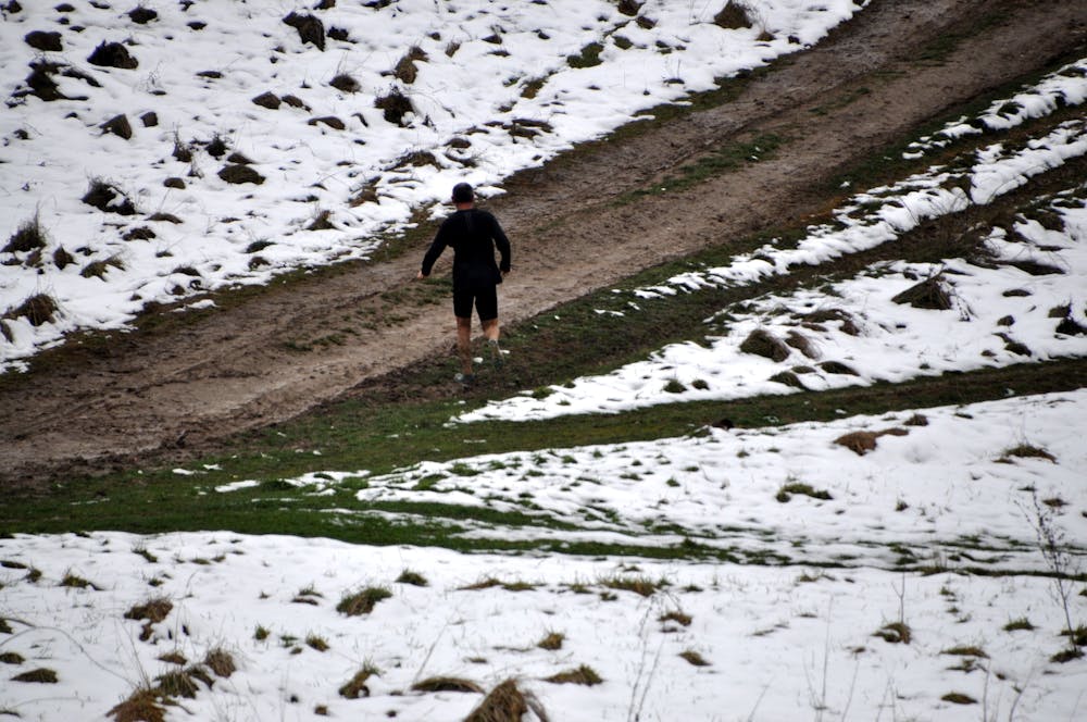
This is a popular trail running route which is generally considered to be moderate. It's not remote, it features low exposure and is typically done in undefined. From a low point of 108 m to the maximum altitude of 314 m, the route covers 17 km, 333 vertical metres of ascent and 333 vertical metres of descent.
- •
- •
- •
Description
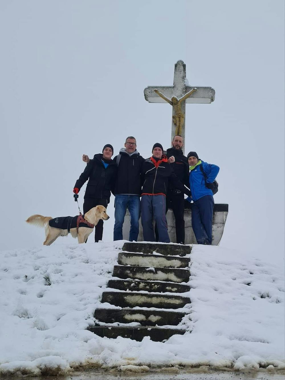
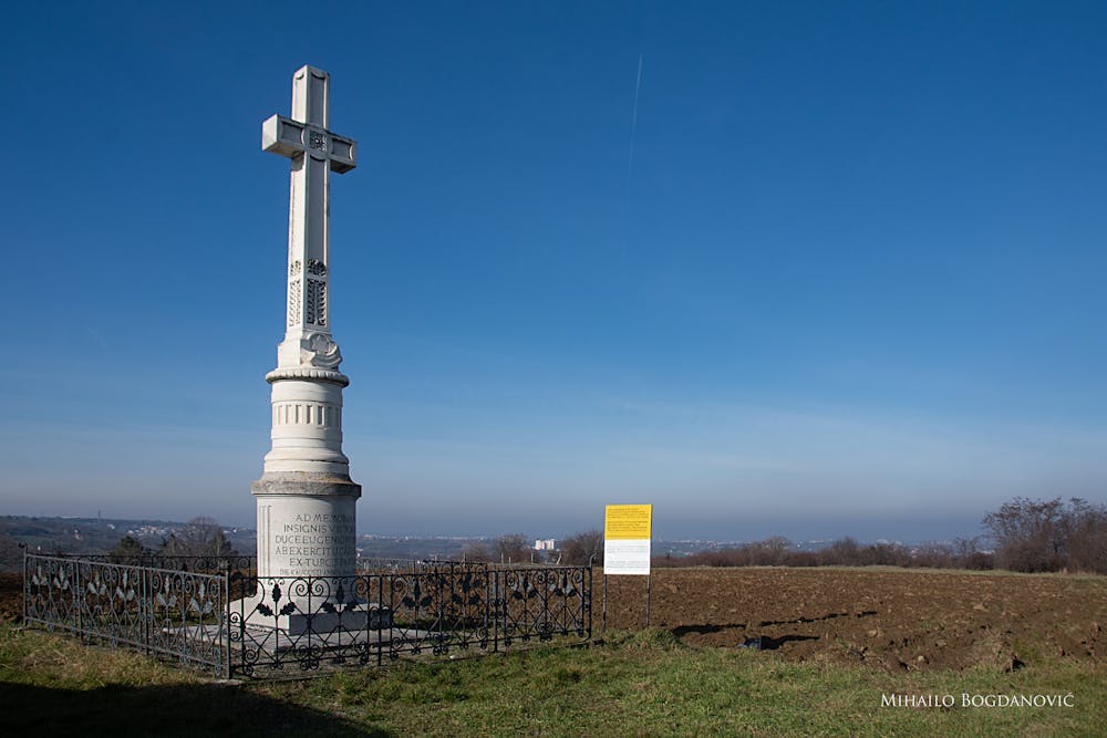
This is a gpx track of the planned race of Vezirac trail. A bit shortened because of mud. Jan 16th 2022, Jan 22nd 2023
Difficulty
Moderate
Low Exposure

The path is on completely flat land and potential injury is limited to falling over.
Remoteness
Close to help in case of emergency.