Stanley Park Seawall
A beautiful oceanside pathway circumnavigating Stanley Park.
Road Biking Easy
- Distance
- 16 km
- Ascent
- 208 m
- Descent
- 208 m
- Duration
- 0-1 hrs
- Low Point
- 0 m
- High Point
- 58 m
- Gradient
- 5˚

The Stanley Park Seawall is an incredible local amenity for Vancouver residents. This beautiful oceanside pathway circumnavigates Stanley Park and provides separated lanes for bicycle and pedestrian traffic. The bicycle lane is also one-way, running counter-clockwise, as shown on this map.
- •
- •
- •
- •
- •
- •
- •
- •
- •
Description
These separated lanes and the directional bike traffic are necessary due to the massive amounts of traffic that this pathway enjoys. Thankfully, these traffic patterns help keep the crowds moving quickly and free of conflicts.
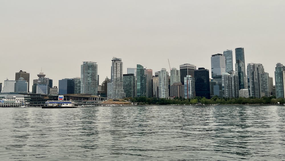
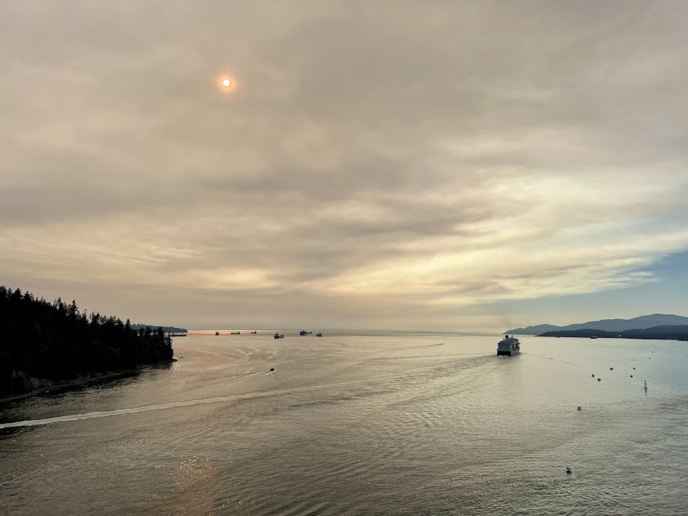
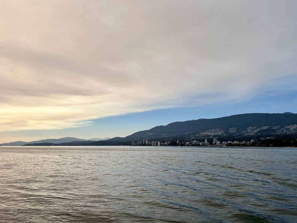
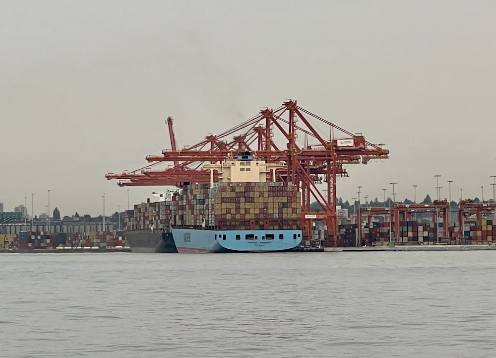
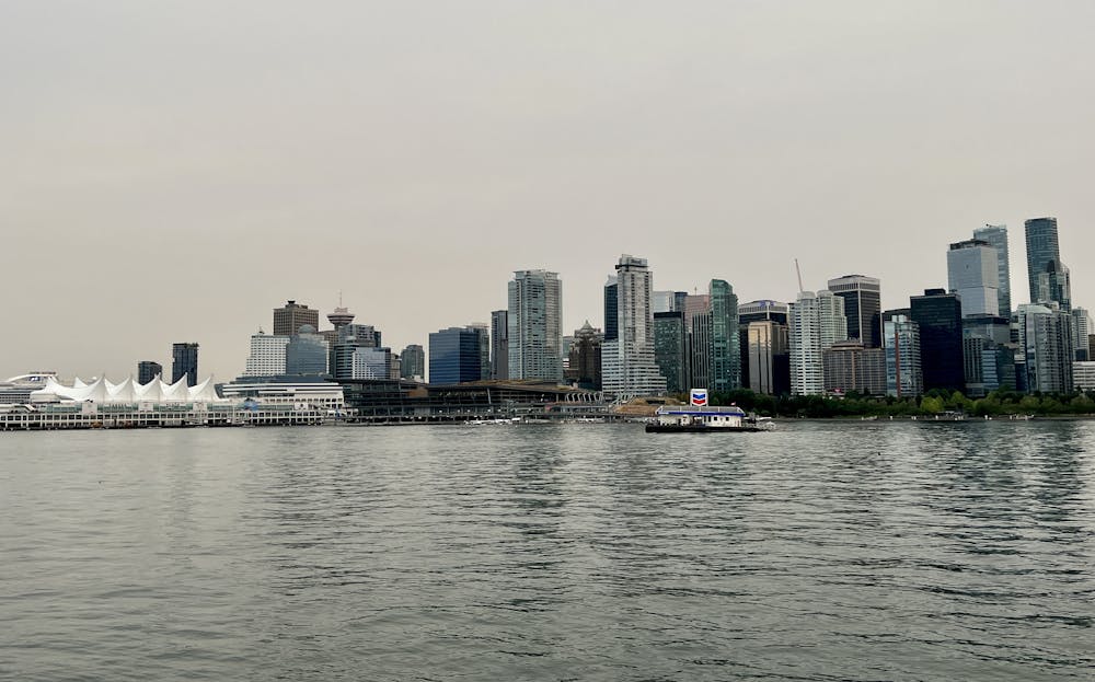
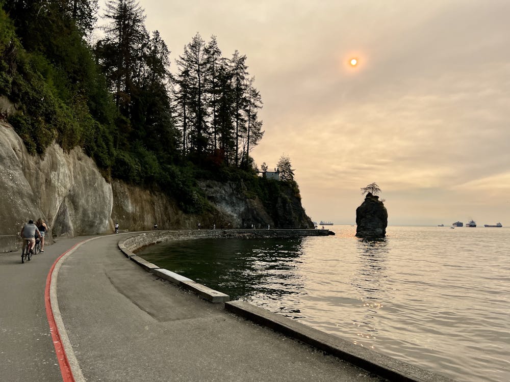
It's easy to see why the Stanley Park Seawall is so popular—the views from this seaside pathway are absolutely gorgeous! You'll enjoy views of the bay, the Vancouver Skyline, and the North Vancouver Skyline. You'll be able to see the massive ships go in and out from the port and enjoy gorgeous sunset views across the water.
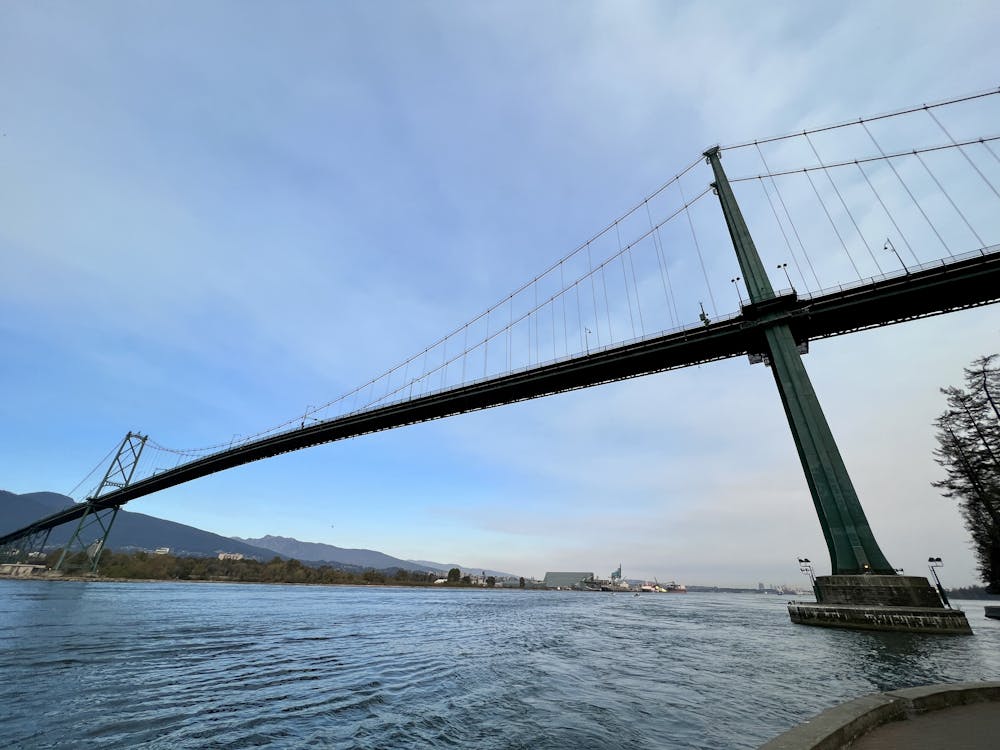
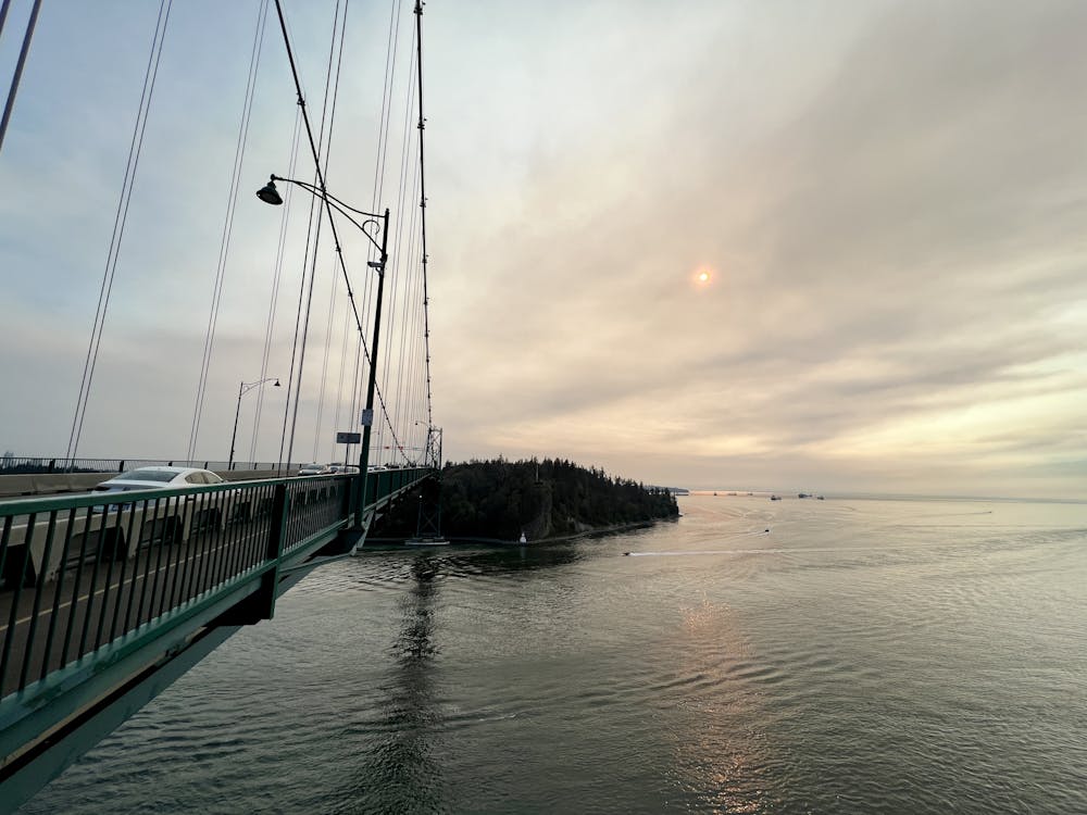
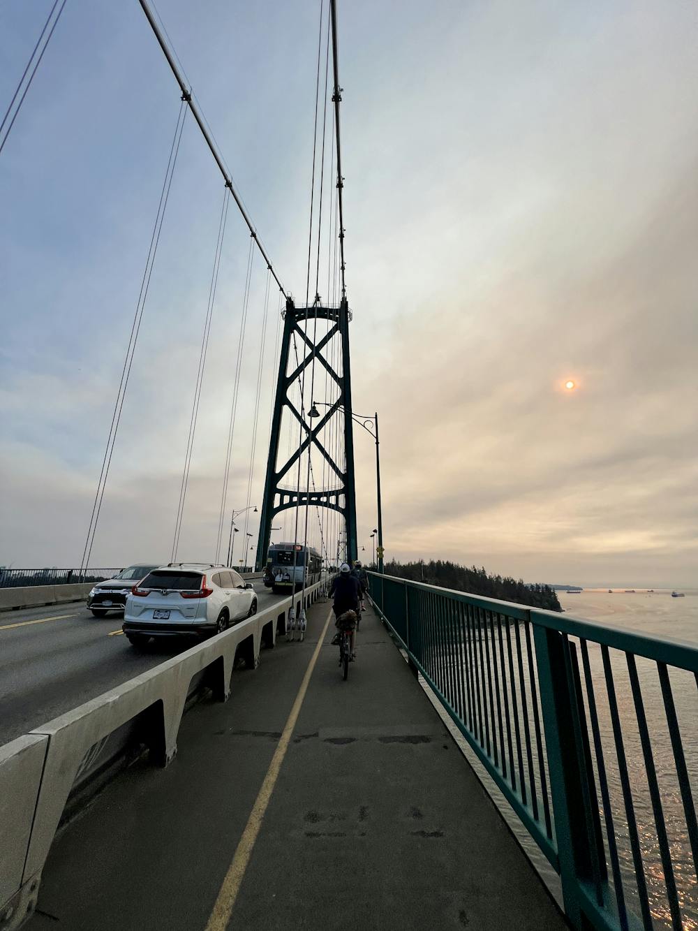
Since the entire pathway is separated from traffic, this is the perfect spot for an easy road bike ride without having to risk life and limb while playing chicken with cars. There are several different ways to access the Stanley Park Seawall depending on where you begin your ride, but the route shown here begins at a parking lot in North Vancouver and crosses the Lions Gate Bridge to get to the park. The Lions Gate Bridge is itself one of the most scenic parts of the entire ride, as you'll enjoy incredible views across the water to both shores.
If you begin from the city of Vancouver, you can also pedal sections of the Vancouver Seawall which, together with the Stanley Park Seawall, form "the world's longest uninterrupted waterfront path,"according to Vancouver.ca.
Difficulty
Easy
Remoteness

Close to help in case of emergency.