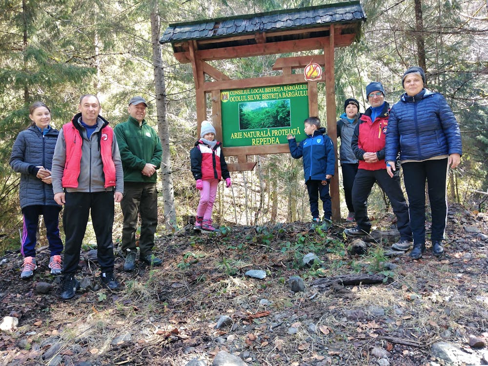
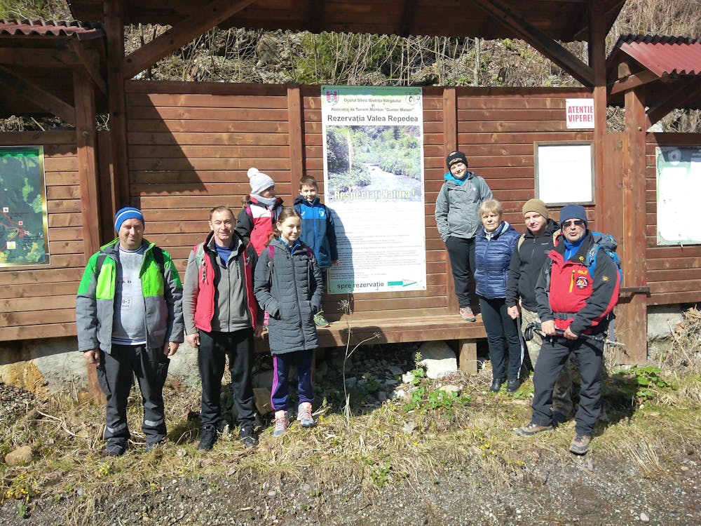
Repedea
Traseu mediu cu panorama deosebita la final.
Hiking Moderate
- Distance
- 8.3 km
- Ascent
- 744 m
- Descent
- 36 m
- Duration
- 2-3 hrs
- Low Point
- 718 m
- High Point
- 1.4 km
- Gradient
- 8˚
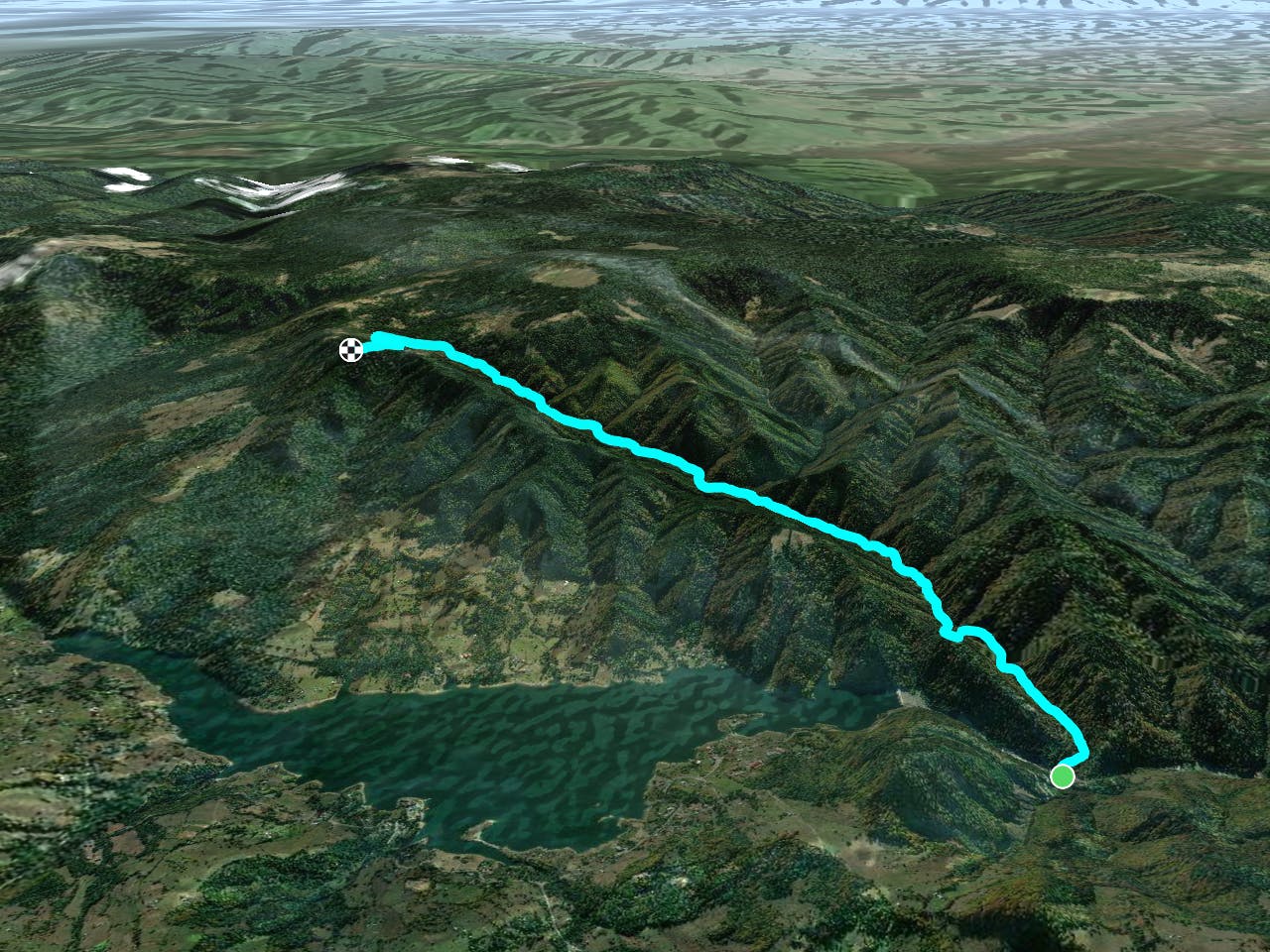
This is a popular hiking route which is generally considered to be moderate. It's not remote, it features high exposure and is typically done between May and October. From a low point of 718 m to the maximum altitude of 1.4 km, the route covers 8.3 km, 744 vertical metres of ascent and 36 vertical metres of descent.
- •
- •
- •
- •
- •
Description
Traseu pe drum forestier cu arie protejata pe stanga in urcare.
Difficulty
Moderate
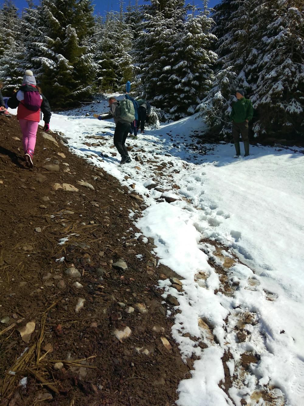
Hiking along trails with some uneven terrain and small hills. Small rocks and roots may be present.
High Exposure

Some trail sections have exposed ledges or steep ascents/descents where falling could cause serious injury.
Remoteness

Close to help in case of emergency.
Best time to visit
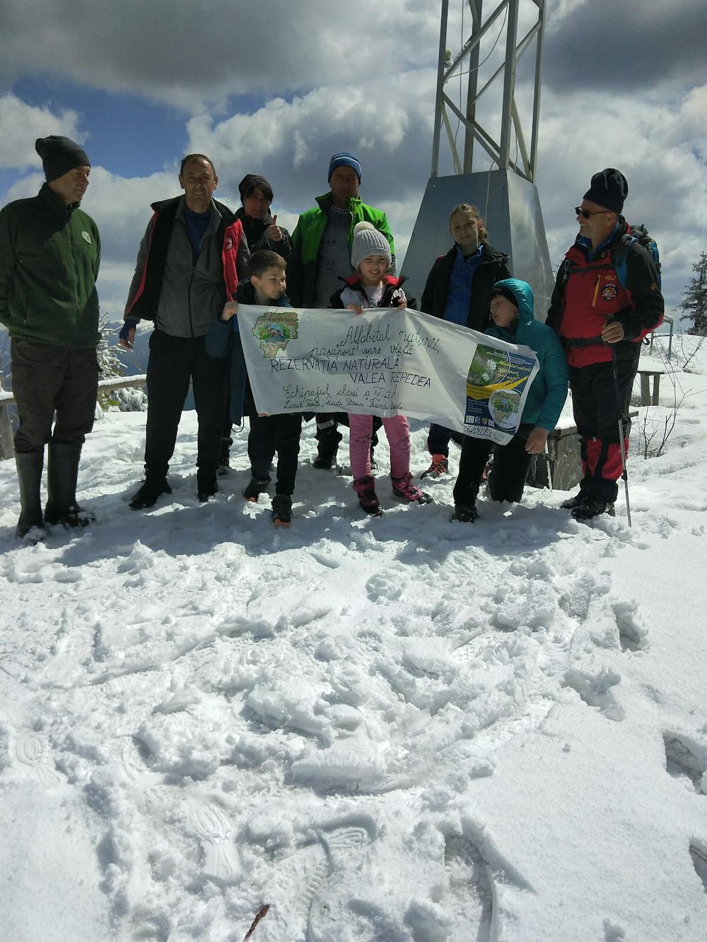
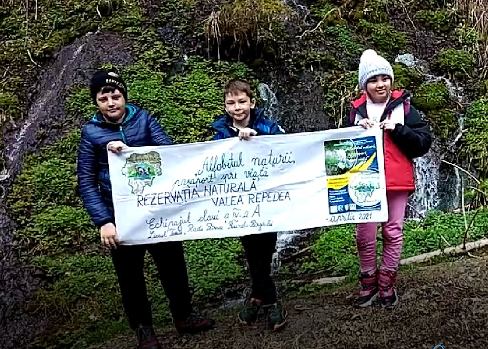
Features
- Wildlife
- Picturesque
- Water features
- Forestry or heavy vegetation