Ma duc la munte!
hike to the semenic mountain
Hiking Difficult
- Distance
- 5 km
- Ascent
- 750 m
- Descent
- 0 m
- Duration
- 2-3 hrs
- Low Point
- 617 m
- High Point
- 1.4 km
- Gradient
- 12˚

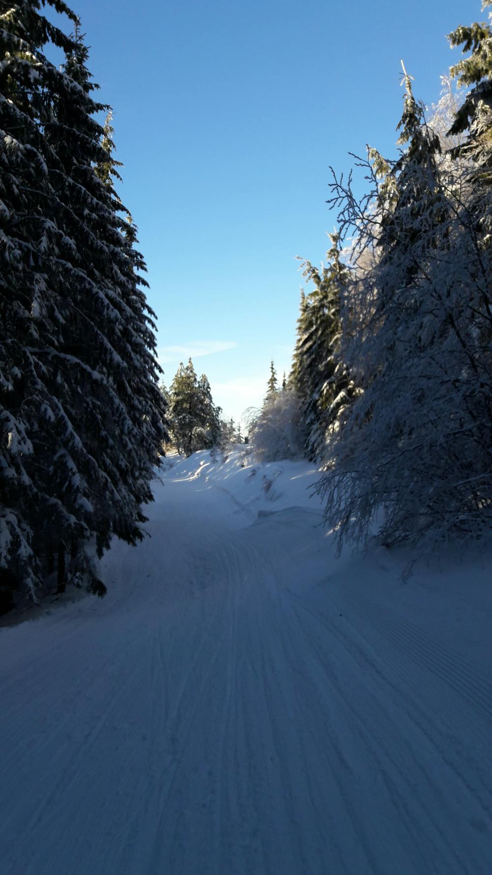
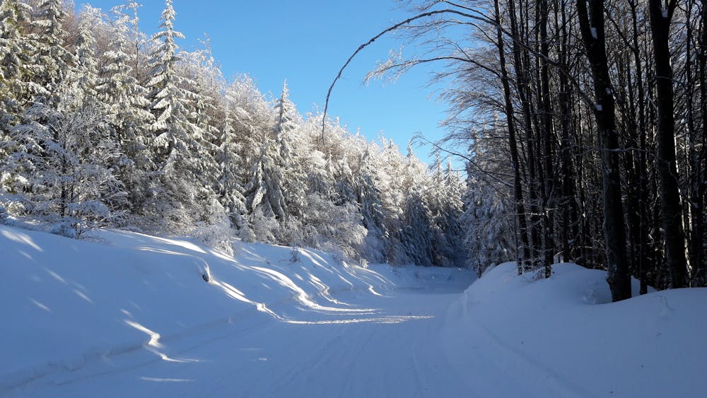
This is a popular hiking route which is generally considered to be difficult. It's remote, it features low exposure and is typically done all year round. From a low point of 617 m to the maximum altitude of 1.4 km, the route covers 5 km, 750 vertical metres of ascent and 0 vertical metres of descent.
- •
- •
- •
Description
5.4 km hike to the semenic mountain. 2H aproximate
Difficulty
Difficult
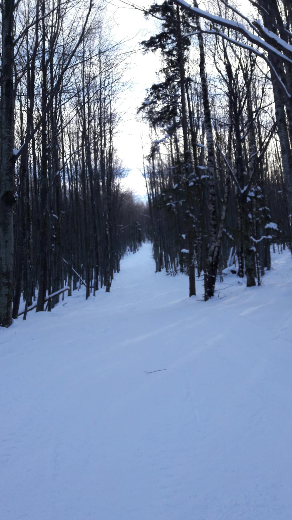
Hiking trails where obstacles such as rocks or roots are prevalent. Some obstacles can require care to step over or around. At times, the trail can be worn and eroded. The grade of the trail is generally quite steep, and can often lead to strenuous hiking.
Low Exposure

The path is on completely flat land and potential injury is limited to falling over.
Remoteness

Away from help but easily accessed.
Best time to visit
Features
- Alpine
- Picturesque