Șaua Jigoriei - Țarcu
A classic 1 day ski touring route up to Tarcu Weather Station
Ski Touring Moderate
- Distance
- 19 km
- Ascent
- 1.2 km
- Descent
- 1.2 km
- Duration
- 7-8 hrs
- Low Point
- 1.2 km
- High Point
- 2.2 km
- Gradient
- 15˚

This is a popular ski touring route which is generally considered to be moderate. It's not remote, it features low exposure (e1) and is typically done between December and March. From a low point of 1.2 km to the maximum altitude of 2.2 km, the route covers 19 km, 1200 vertical metres of ascent and 1201 vertical metres of descent. It's graded 2.2 and Labande grade 3. You'll need skins and crampons to complete it safely.
- •
- •
- •
Description
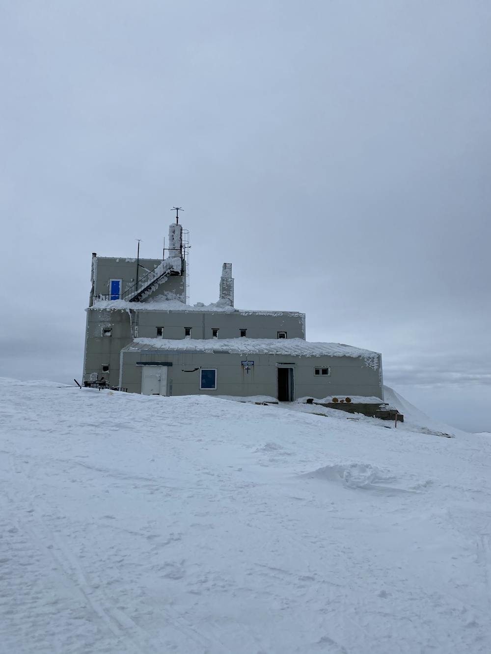
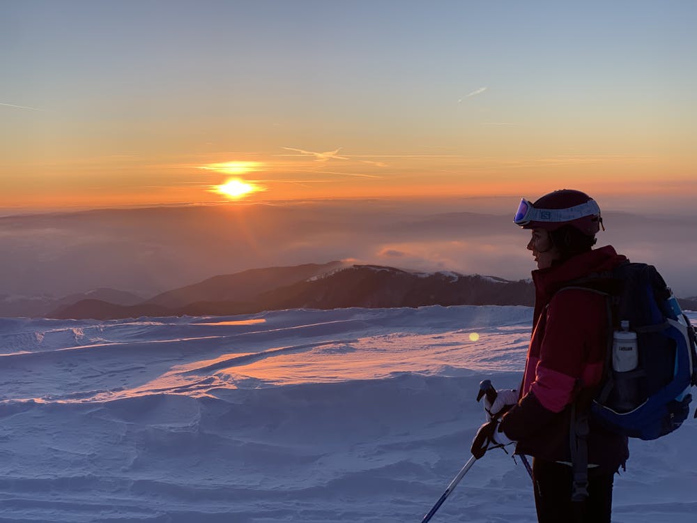
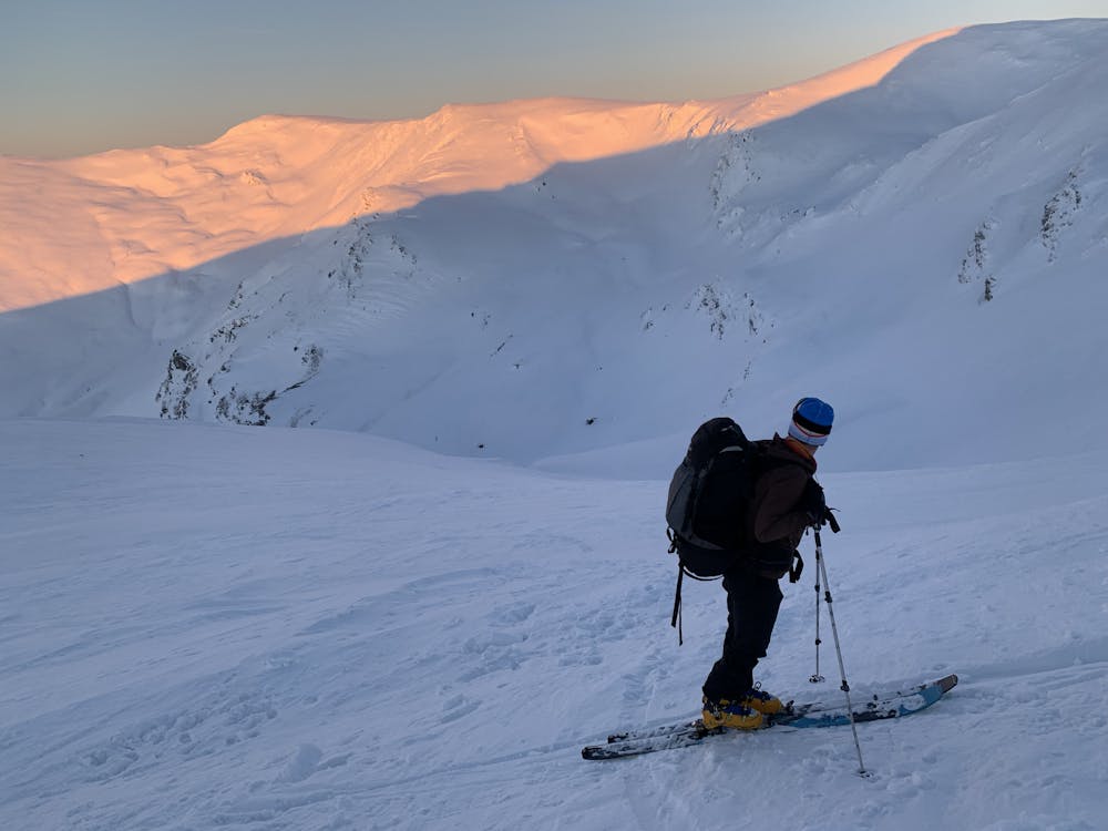
The route starts easy until the Cuntu weather station. From there the gradient picks up but you get rewarded by a stunning view.
Difficulty
Moderate
Slopes become slightly steeper at around 25-30 degrees.
Low Exposure (E1)

Exposure is limited to that of the slope itself. Getting hurt is still likely if the slope is steep and/or the snow is hard.
Remoteness
Close to help in case of emergency.
Best time to visit
Features
- Alpine
Equipment required
- Skins
- Crampons