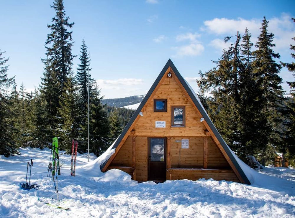
Buscat to CAR Shelter
An easy hiking trail from buscat ski resort to CAR Shelter. The shelter if on the left of the trail at about 300m, there is a sign on the trail to it
Hiking Easy
- Distance
- 7.8 km
- Ascent
- 307 m
- Descent
- 129 m
- Duration
- 2-3 hrs
- Low Point
- 1.6 km
- High Point
- 1.8 km
- Gradient
- 5˚

This is a popular hiking route which is generally considered to be easy. It's not remote, it features low exposure and is typically done all year round. From a low point of 1.6 km to the maximum altitude of 1.8 km, the route covers 7.8 km, 307 vertical metres of ascent and 129 vertical metres of descent.
Description
An easy hiking trail from Buscat ski resort to CAR Shelter. During winter snow shoes or touring skies will help
Difficulty
Easy
Walking along a well-kept trail that’s mostly flat. No obstacles are present.
Low Exposure

The path is on completely flat land and potential injury is limited to falling over.
Remoteness
Close to help in case of emergency.