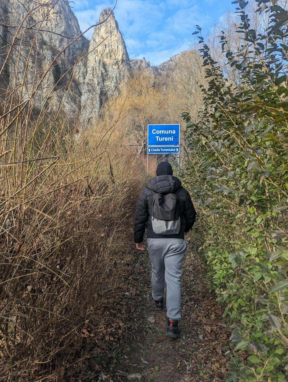
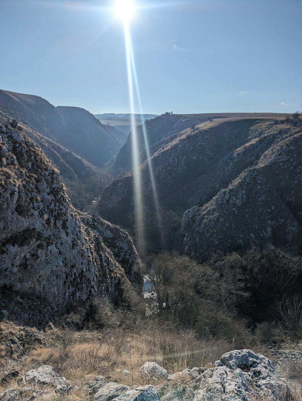
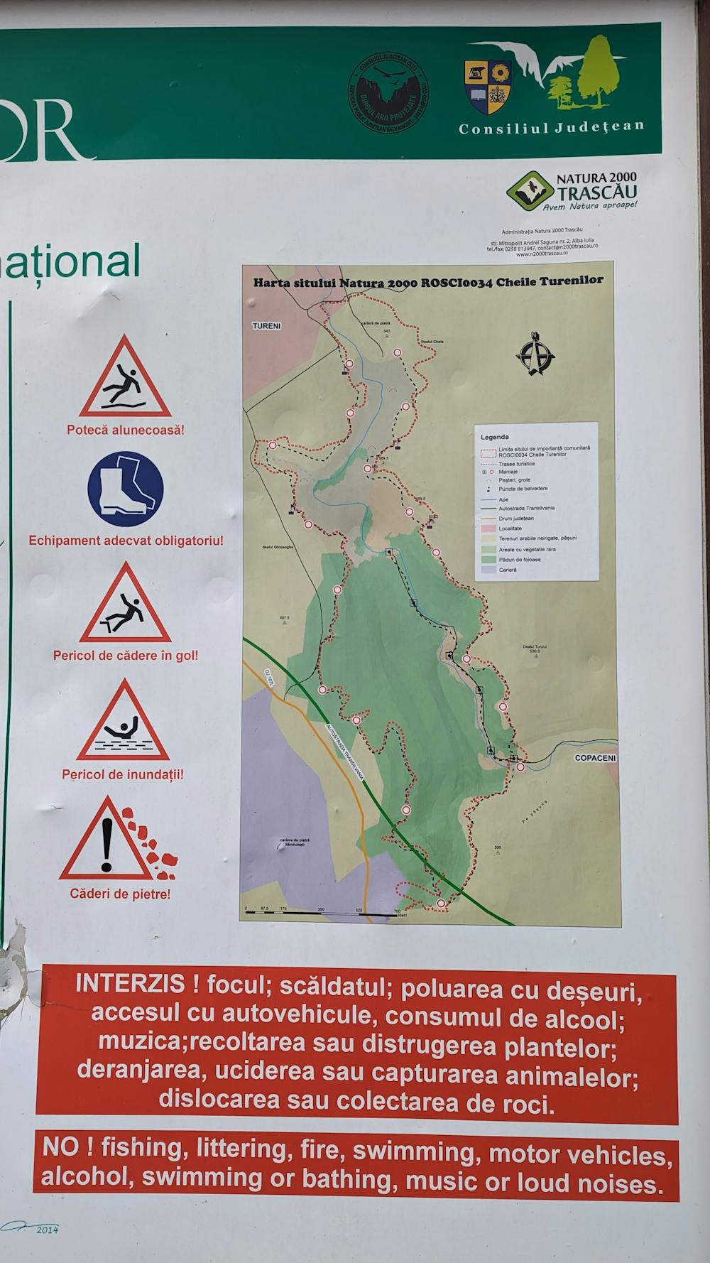
Cheile Turenilor
Cheile Turenilor este o rezervație geobotanică și sit arheologic. Priveliștile sunt sălbatice și pitorești, având înălțimea maximă de cca. 160 m (la ieșirea dinspre Copăceni)
Hiking Difficult
- Distance
- 8.7 km
- Ascent
- 242 m
- Descent
- 238 m
- Duration
- 2-3 hrs
- Low Point
- 400 m
- High Point
- 563 m
- Gradient
- 8˚

Cheile Turenilor, cu un relief carstic relativ tânăr, marcat de lapiezuri și doline, formate mai ales pe versantul stâng, sunt sălbatice și pitorești, având înălțimea maximă de cca. 160 m (la ieșirea dinspre Copăceni). Ele adăpostesc adevărate comori care i-au conferit statutul de rezervație geobotanică și sit arheologic. Aici au fost găsite numeroase unelte, monede, ceramică și așa mai departe.
- •
- •
- •
Difficulty
Difficult
Hiking trails where obstacles such as rocks or roots are prevalent. Some obstacles can require care to step over or around. At times, the trail can be worn and eroded. The grade of the trail is generally quite steep, and can often lead to strenuous hiking.
High Exposure

Some trail sections have exposed ledges or steep ascents/descents where falling could cause serious injury.
Remoteness

Away from help but easily accessed.
Best time to visit
Features
- Historical
- Picturesque
- Wild flowers
- Water features
- Forestry or heavy vegetation