Maraton Apuseni
Track for Apuseni marathon
Trail Running Difficult
- Distance
- 44 km
- Ascent
- 2.4 km
- Descent
- 2.4 km
- Duration
- 1 day +
- Low Point
- 657 m
- High Point
- 1.7 km
- Gradient
- 15˚

This is a popular trail running route which is generally considered to be difficult. It's remote, it features medium exposure and is typically done between May and November. From a low point of 657 m to the maximum altitude of 1.7 km, the route covers 44 km, 2365 vertical metres of ascent and 2364 vertical metres of descent.
Description
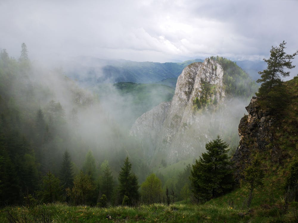
The highs and lows of the Apuseni mountains marathon
Difficulty
Difficult
Medium Exposure

The trail contains some obstacles such as outcroppings and rock which could cause injury.
Remoteness
Away from help but easily accessed.