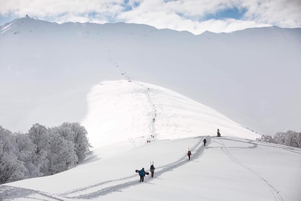
Oslea hike
Hiking part of RedBull Oslea Hiride
Hiking Moderate
- Distance
- 3.4 km
- Ascent
- 685 m
- Descent
- 0 m
- Duration
- 1-2 hrs
- Low Point
- 1.2 km
- High Point
- 1.9 km
- Gradient
- 21˚

This is a popular hiking route which is generally considered to be moderate. It's remote, it features low exposure and is typically done in undefined. From a low point of 1.2 km to the maximum altitude of 1.9 km, the route covers 3.4 km, 685 vertical metres of ascent and 0 vertical metres of descent.
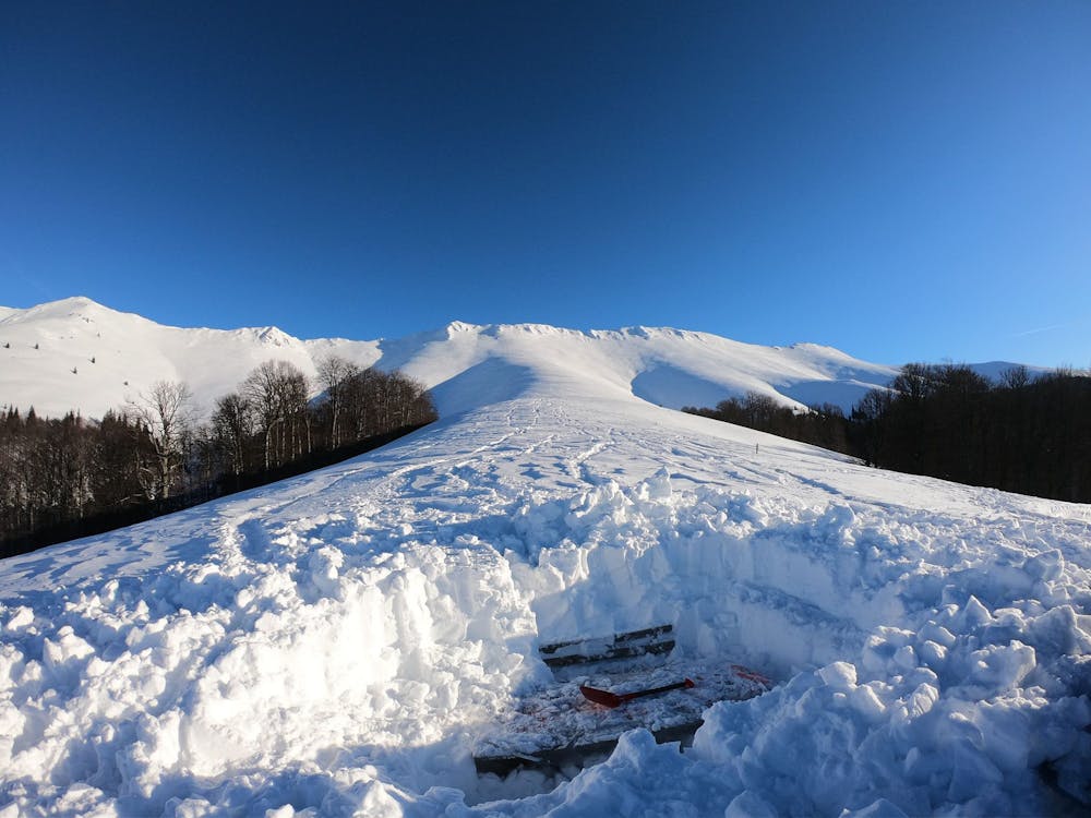
Description
Difficulty
Moderate
Hiking along trails with some uneven terrain and small hills. Small rocks and roots may be present.
Low Exposure

The path is on completely flat land and potential injury is limited to falling over.
Remoteness

Away from help but easily accessed.
Best time to visit
Features
- Alpine
- Dog friendly