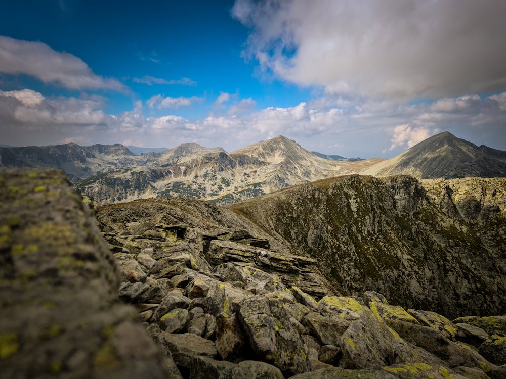
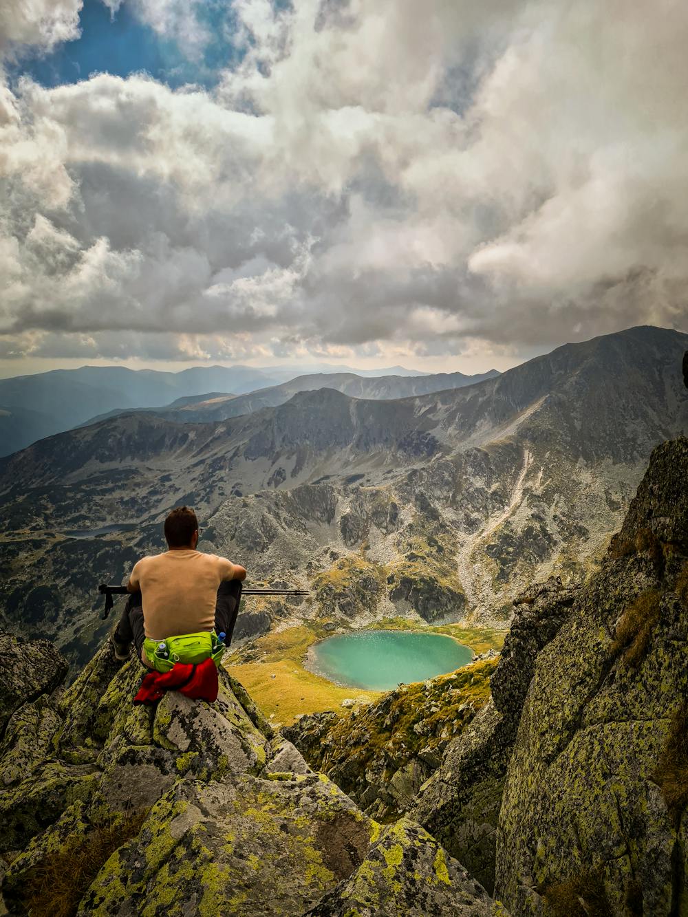
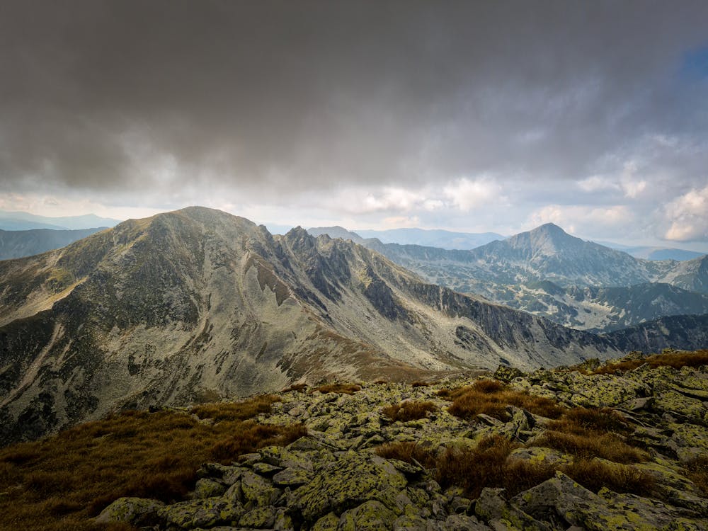
La pas prin Retezat
Poiana Pelegii - Vf Custura - Vf Papusa - Vf Peleaga - Lacul Bucura - Poaiana Pelegii
Hiking Moderate
- Distance
- 16 km
- Ascent
- 1.5 km
- Descent
- 1.5 km
- Duration
- 5-6 hrs
- Low Point
- 1.6 km
- High Point
- 2.5 km
- Gradient
- 17˚

This is a popular hiking route which is generally considered to be moderate. It's very remote, it features high exposure and is typically done between May and October. From a low point of 1.6 km to the maximum altitude of 2.5 km, the route covers 16 km, 1514 vertical metres of ascent and 1514 vertical metres of descent.
- •
- •
- •
Description
Vf. Custura / Vf. Papusa / Vf. Peleaga
Difficulty
Moderate
Hiking along trails with some uneven terrain and small hills. Small rocks and roots may be present.
High Exposure

Some trail sections have exposed ledges or steep ascents/descents where falling could cause serious injury.
Remoteness
Little chance of being seen or helped in case of an accident.
Best time to visit
Features
- Alpine
- Wildlife
- Picturesque
- Summit Hike
- Water features