La pas prin Retezat
Poiana Pelegii - Lacul Bucura - Vf. Bucura 1 - Vf. Judele - Vf Saveiu - Lacul Lia - Poiana Pelegii
Hiking Difficult
- Distance
- 14 km
- Ascent
- 1.1 km
- Descent
- 1.1 km
- Duration
- 4-5 hrs
- Low Point
- 1.6 km
- High Point
- 2.4 km
- Gradient
- 15˚

This is a popular hiking route which is generally considered to be difficult. It's very remote, it features extreme exposure and is typically done between May and October. From a low point of 1.6 km to the maximum altitude of 2.4 km, the route covers 14 km, 1111 vertical metres of ascent and 1116 vertical metres of descent.
- •
- •
- •
Description
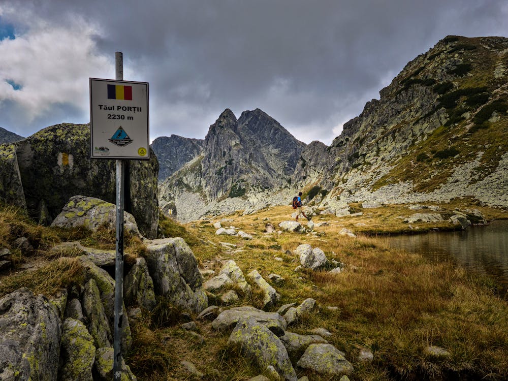
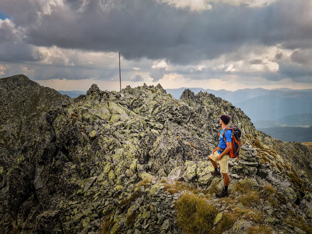
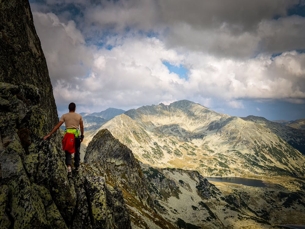
Traseul devine putin mai tehinic intre Vf. Judele si Vf Slaveiu, se merge pe traseu de creasta ( doar pe lespezi ), nu este marcat pe harta si nici in teren ( sunt momai )
Difficulty
Difficult
Hiking trails where obstacles such as rocks or roots are prevalent. Some obstacles can require care to step over or around. At times, the trail can be worn and eroded. The grade of the trail is generally quite steep, and can often lead to strenuous hiking.
Extreme Exposure

Some trail sections are extremely exposed where falling will almost certainly result in serious injury or death.
Remoteness

Little chance of being seen or helped in case of an accident.
Best time to visit
Features
- Alpine
- Picturesque
- Summit Hike
- Water features