FANTANA - CIMPOIAS - SAUA PALTINISULUI
Traseu de legatura pe Valea Paltinisului intre trasee turistice existente
Hiking Moderate
- Distance
- 3.7 km
- Ascent
- 793 m
- Descent
- 0 m
- Duration
- 2-3 hrs
- Low Point
- 908 m
- High Point
- 1.7 km
- Gradient
- 20˚

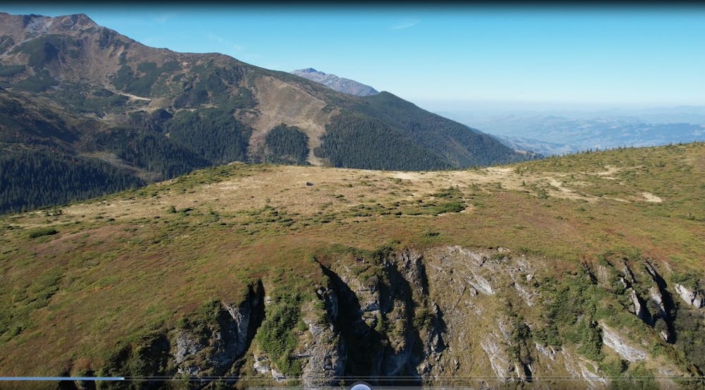
This is a popular hiking route which is generally considered to be moderate. It's remote, it features medium exposure and is typically done between May and November. From a low point of 908 m to the maximum altitude of 1.7 km, the route covers 3.7 km, 793 vertical metres of ascent and 0 vertical metres of descent.
Description
Traseul de legatura face jonctiunea intre Cartierul Fantana din Borsa si traseul omologat care pleaca din Puzdrele pana in creasta principala a Muntilor Rodnei
Difficulty
Moderate
Hiking along trails with some uneven terrain and small hills. Small rocks and roots may be present.
Medium Exposure

The trail contains some obstacles such as outcroppings and rock which could cause injury.
Remoteness
Away from help but easily accessed.
Best time to visit
Features
- Alpine
- Wildlife
- Summit Hike
- Wild flowers
- Forestry or heavy vegetation