TELEGONDOLA - FATA MESELOR - PUZDRELE _TRASEU VECHI
Traseu tematic dificultate mica
Hiking Easy
- Distance
- 5.7 km
- Ascent
- 315 m
- Descent
- 329 m
- Duration
- 1-2 hrs
- Low Point
- 1.5 km
- High Point
- 1.8 km
- Gradient
- 10˚

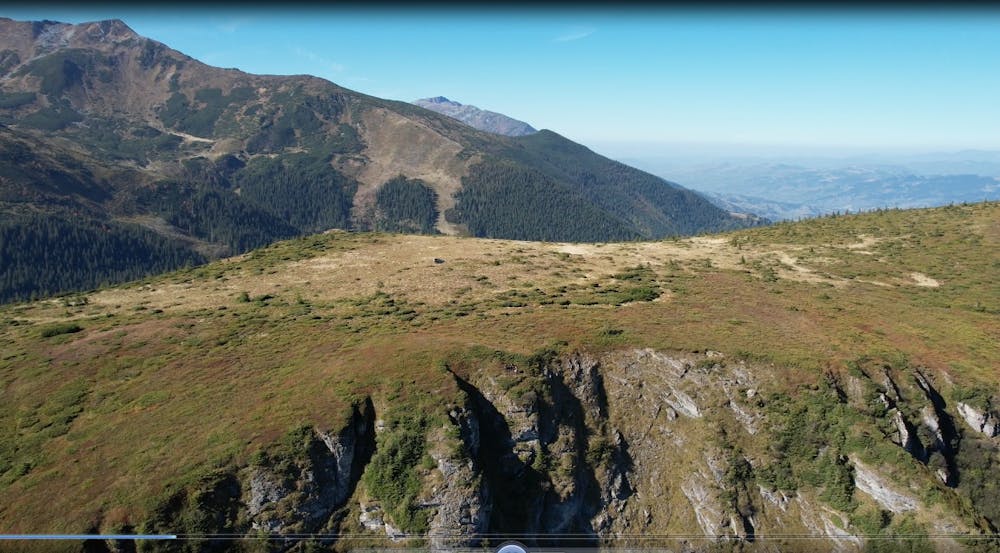
This is a popular hiking route which is generally considered to be easy. It's not remote, it features low exposure and is typically done all year round. From a low point of 1.5 km to the maximum altitude of 1.8 km, the route covers 5.7 km, 315 vertical metres of ascent and 329 vertical metres of descent.
Description
Recomandat ca traseu tematic ce face legatura intre telegondola si Cabana veche Puzdrele
Difficulty
Easy
Walking along a well-kept trail that’s mostly flat. No obstacles are present.
Low Exposure

The path is on completely flat land and potential injury is limited to falling over.
Remoteness
Close to help in case of emergency.
Best time to visit
Features
- Alpine
- Wildlife
- Summit Hike
- Wild flowers
- Family friendly
- Forestry or heavy vegetation