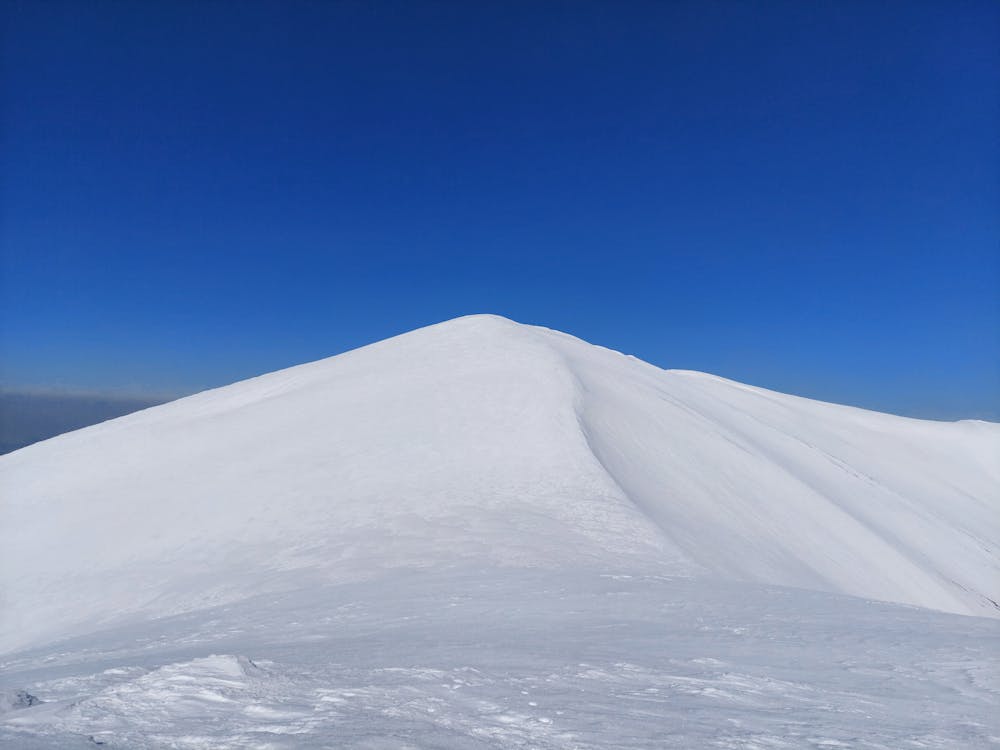
Vărful Găvanu 2153 m
Ski de tură în Munții Făgăraș
Ski Touring Difficult
- Distance
- 7.6 km
- Ascent
- 740 m
- Descent
- 741 m
- Duration
- 3-4 hrs
- Low Point
- 1.4 km
- High Point
- 2.1 km
- Gradient
- 31˚

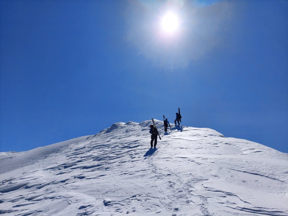
This is a popular ski touring route which is generally considered to be difficult. It's remote, it features medium exposure (e2) and is typically done between December and April. From a low point of 1.4 km to the maximum altitude of 2.1 km, the route covers 7.6 km, 740 vertical metres of ascent and 741 vertical metres of descent. You'll need rope, skins, ice axe and crampons to complete it safely.
- •
- •
- •
Description
Traseu Ski de tură în Munții Făgăraș, de la cabana Suru până pe Vărful Gavanu 2153 m.
Difficulty
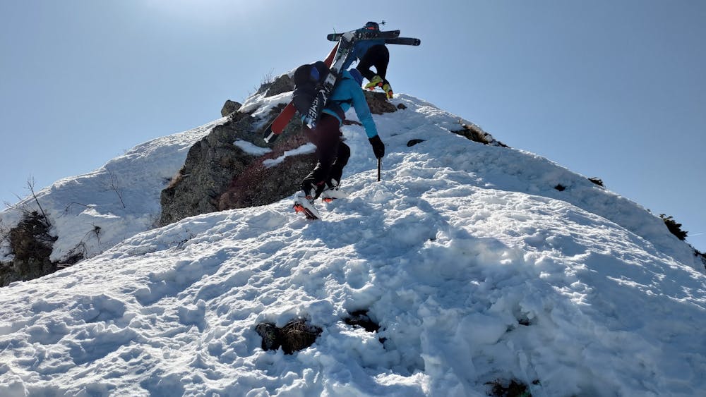
Difficult
Serious gradient of 30-38 degrees where a real risk of slipping exists.
Medium Exposure (E2)

As well as the slope itself, there are some obstacles (such as rock outcrops) which could aggravate injury.
Remoteness
Away from help but easily accessed.
Best time to visit
Features
- Alpine
- Ski Mountaineering
Equipment required
- Rope
- Skins
- Ice axe
- Crampons