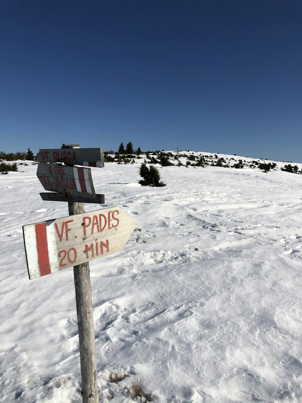
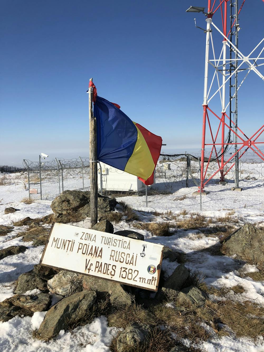
Vârful Padeș
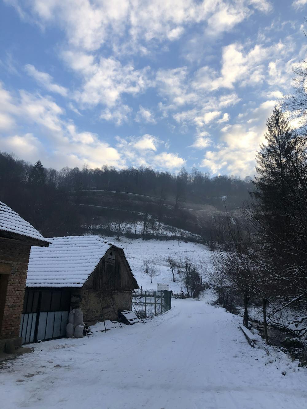
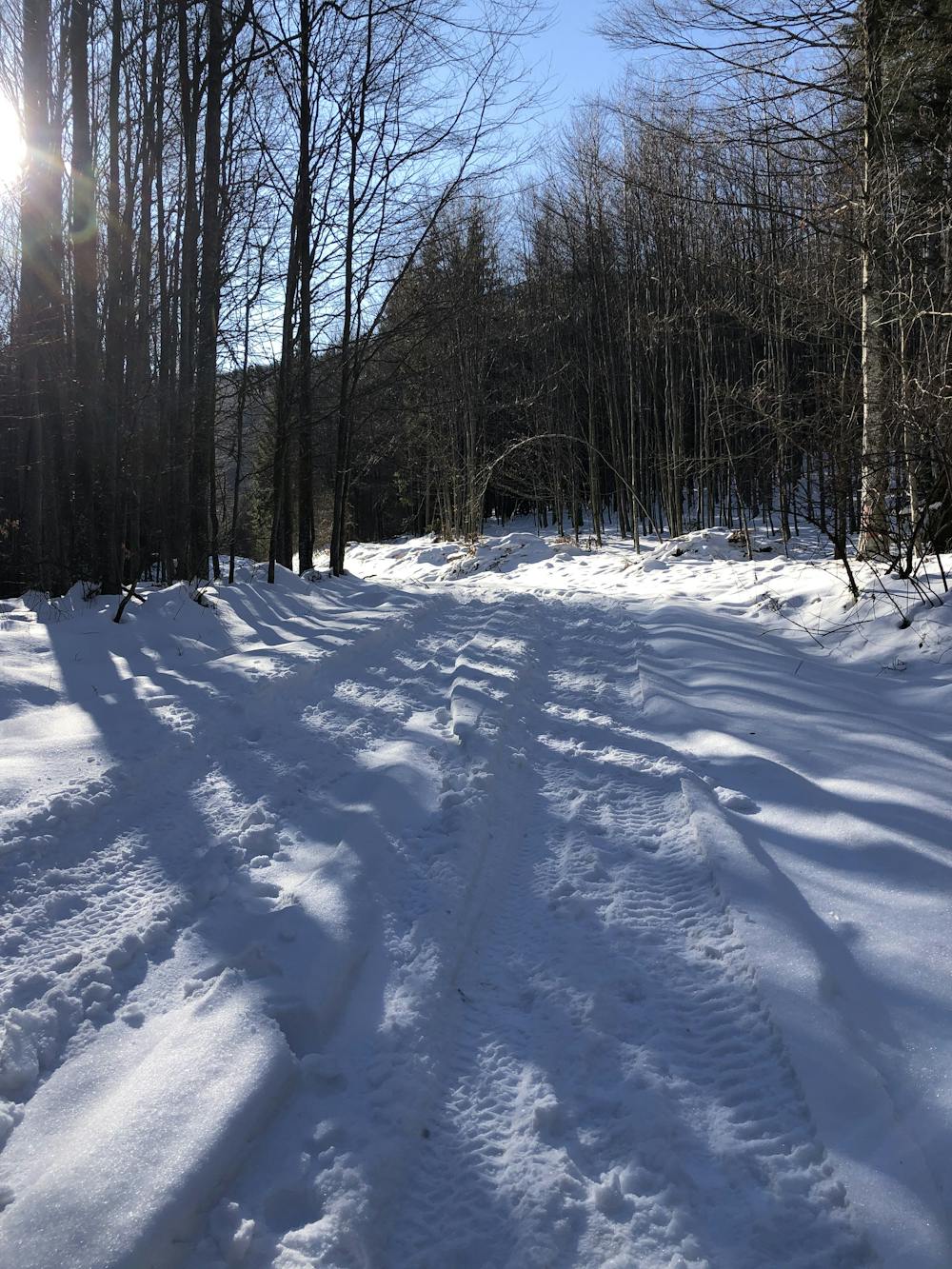
The route starts from the center of the village Luncanii de Jos and passes near the Transluncani road. This hike was taken during winter.
Hiking Easy
- Distance
- 24 km
- Ascent
- 1.1 km
- Descent
- 1.1 km
- Duration
- 6-7 hrs
- Low Point
- 362 m
- High Point
- 1.4 km
- Gradient
- 9˚

This is a popular hiking route which is generally considered to be easy. It's remote, it features low exposure and is typically done all year round. From a low point of 362 m to the maximum altitude of 1.4 km, the route covers 24 km, 1128 vertical metres of ascent and 1130 vertical metres of descent.
- •
- •
- •
- •
- •
- •
- •
- •
Description
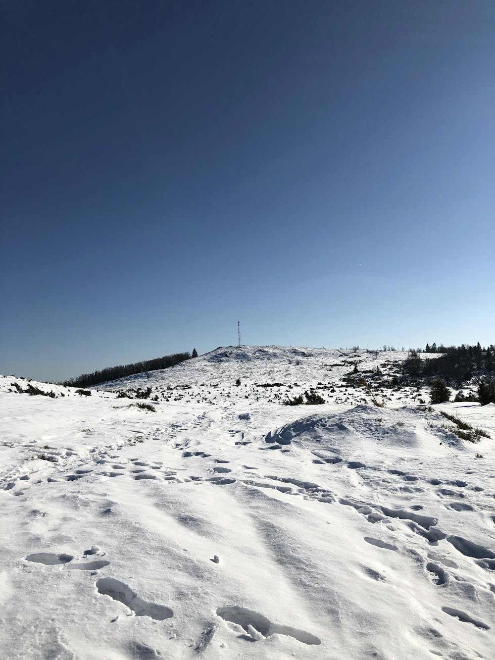
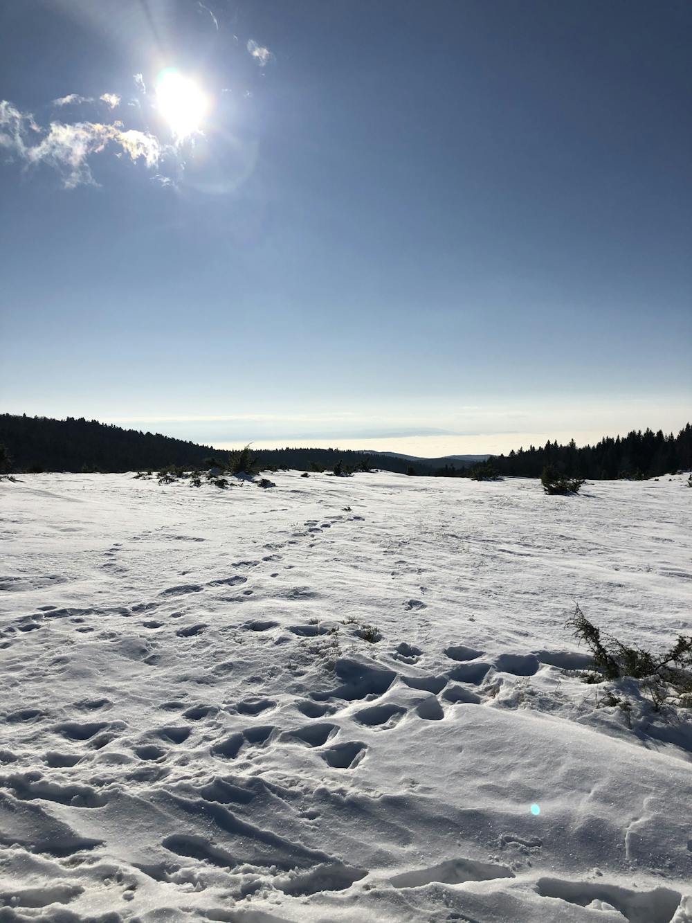
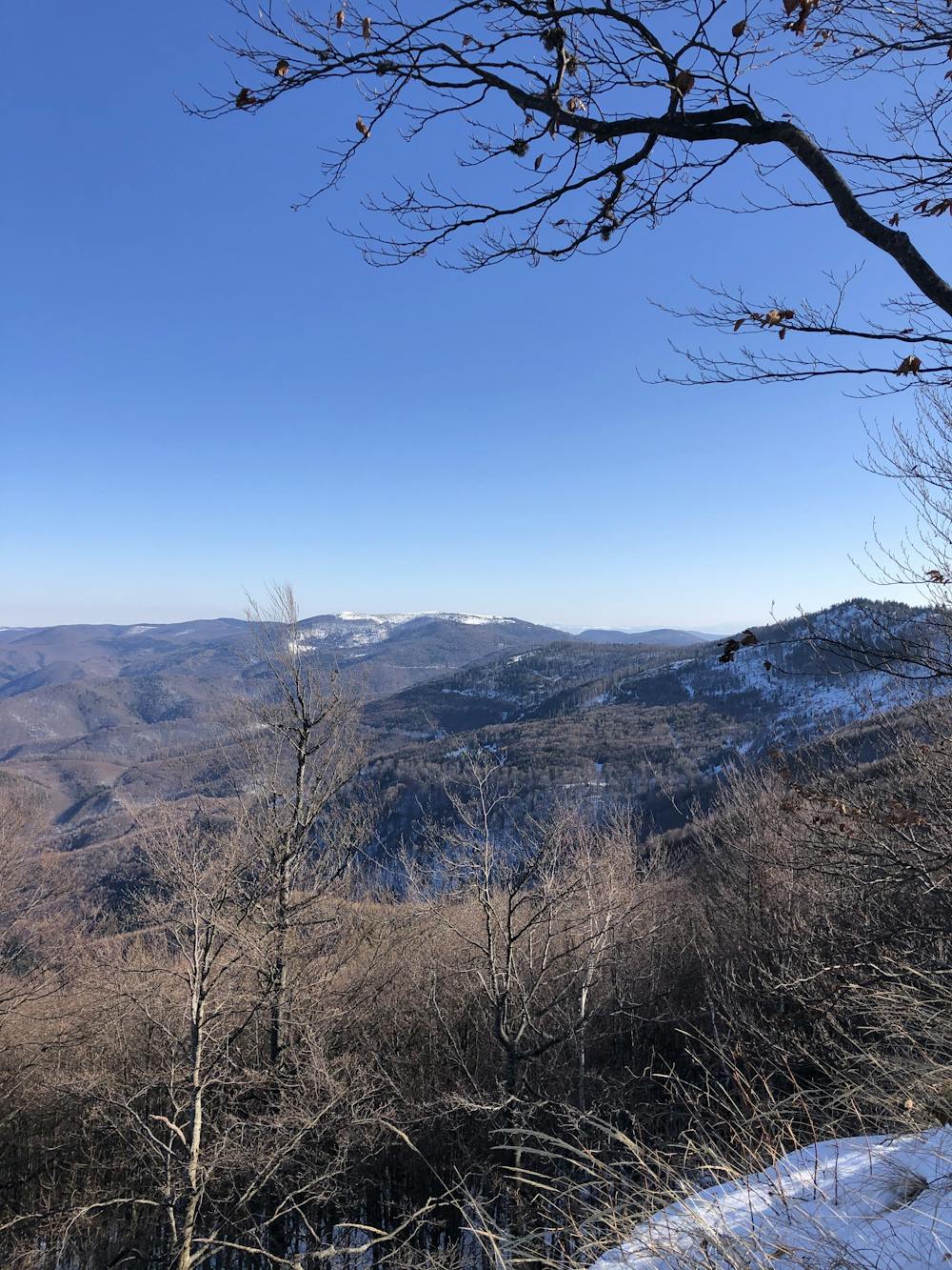
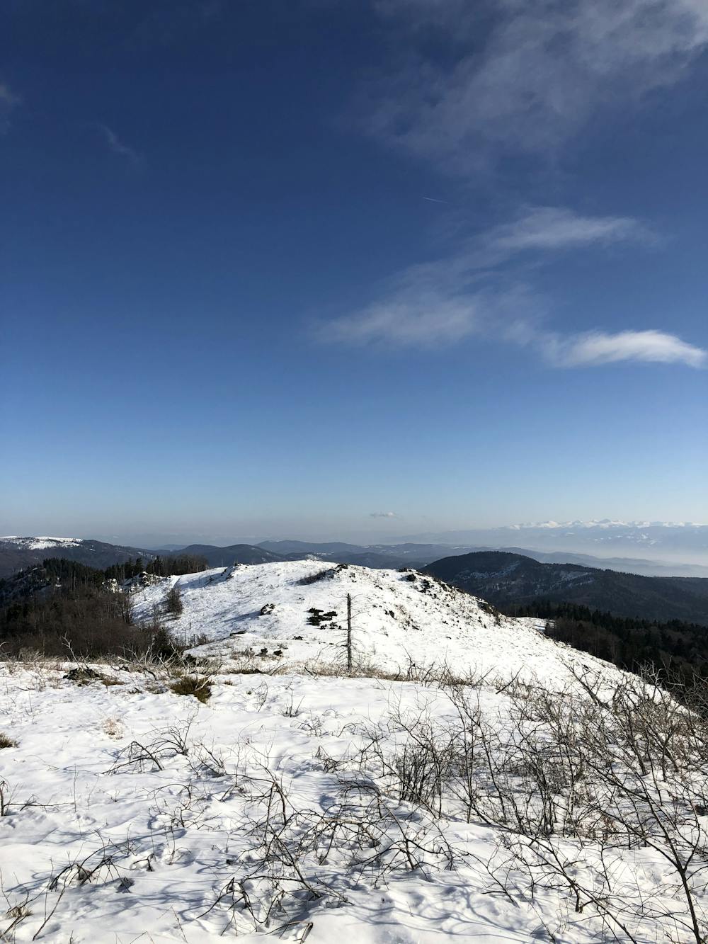
The scenery over the Retezat and Tarcu mountains was great.
Difficulty
Easy
Walking along a well-kept trail that’s mostly flat. No obstacles are present.
Low Exposure

The path is on completely flat land and potential injury is limited to falling over.
Remoteness

Away from help but easily accessed.
Best time to visit
Features
- Family friendly