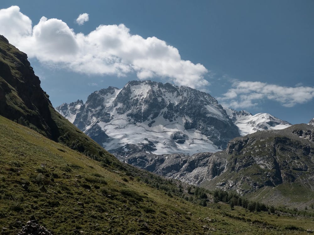
Adyrsu hike
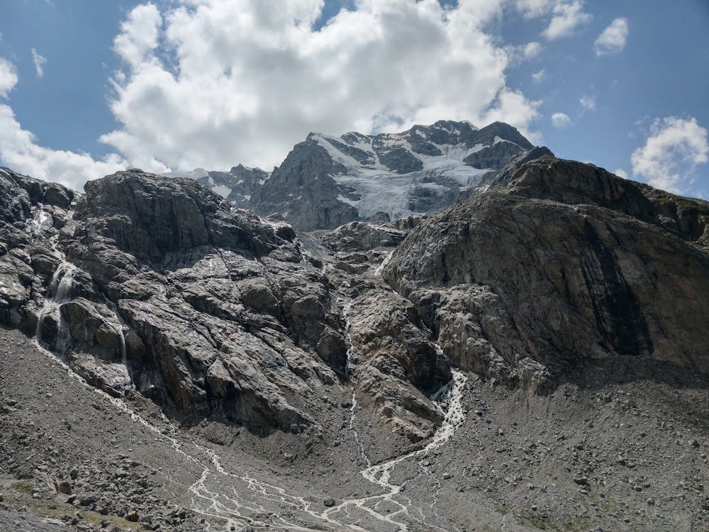
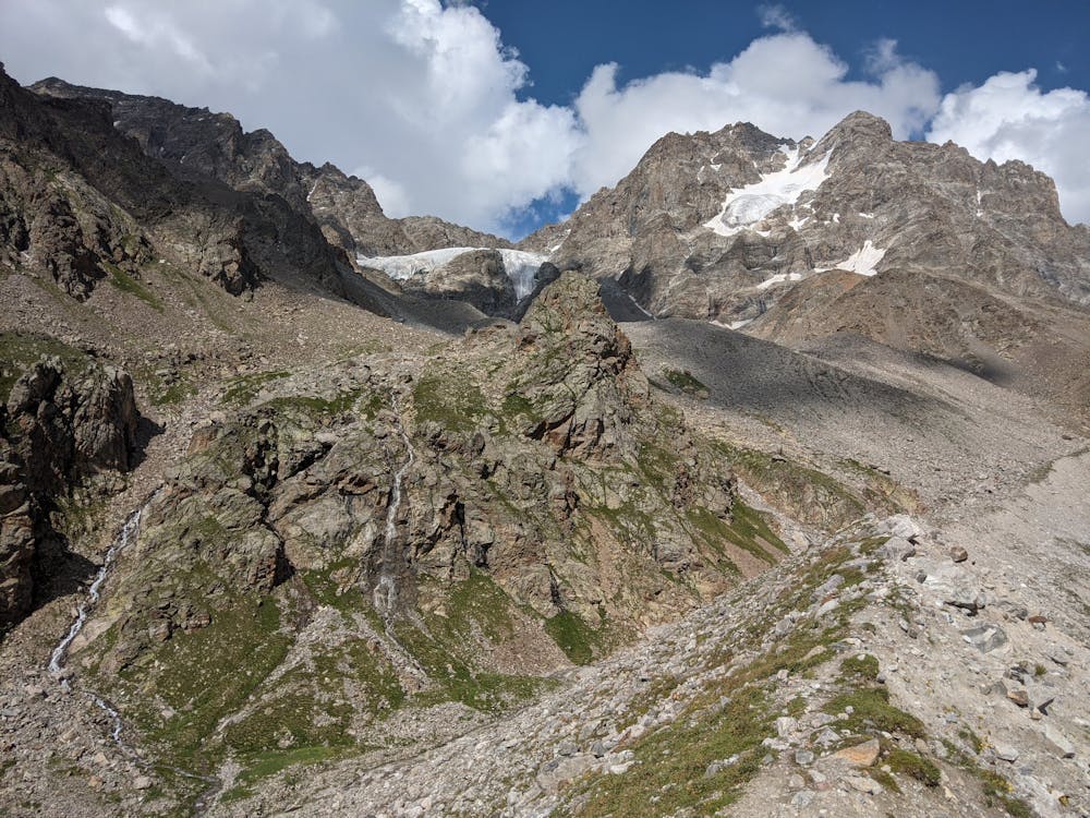
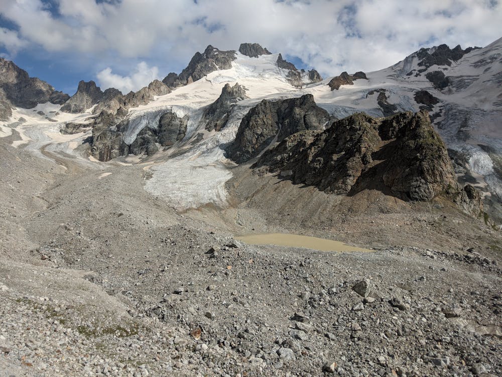
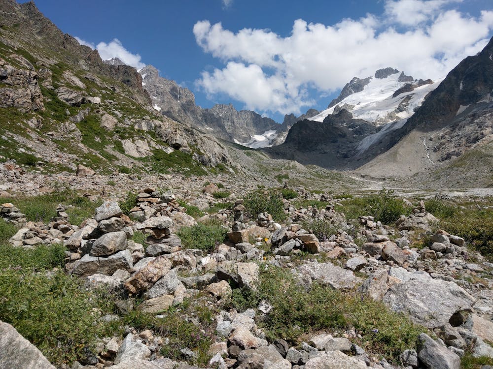
Nice route to moraine near glassier (permission for border guards needed)
Hiking Easy
- Distance
- 13 km
- Ascent
- 704 m
- Descent
- 705 m
- Duration
- 3-4 hrs
- Low Point
- 2.4 km
- High Point
- 3.1 km
- Gradient
- 11˚

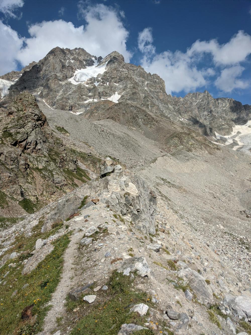
This is a popular hiking route which is generally considered to be easy. It's remote, it features medium exposure and is typically done between May and September. From a low point of 2.4 km to the maximum altitude of 3.1 km, the route covers 13 km, 704 vertical metres of ascent and 705 vertical metres of descent.
- •
- •
- •
- •
- •
- •
- •
- •
Description
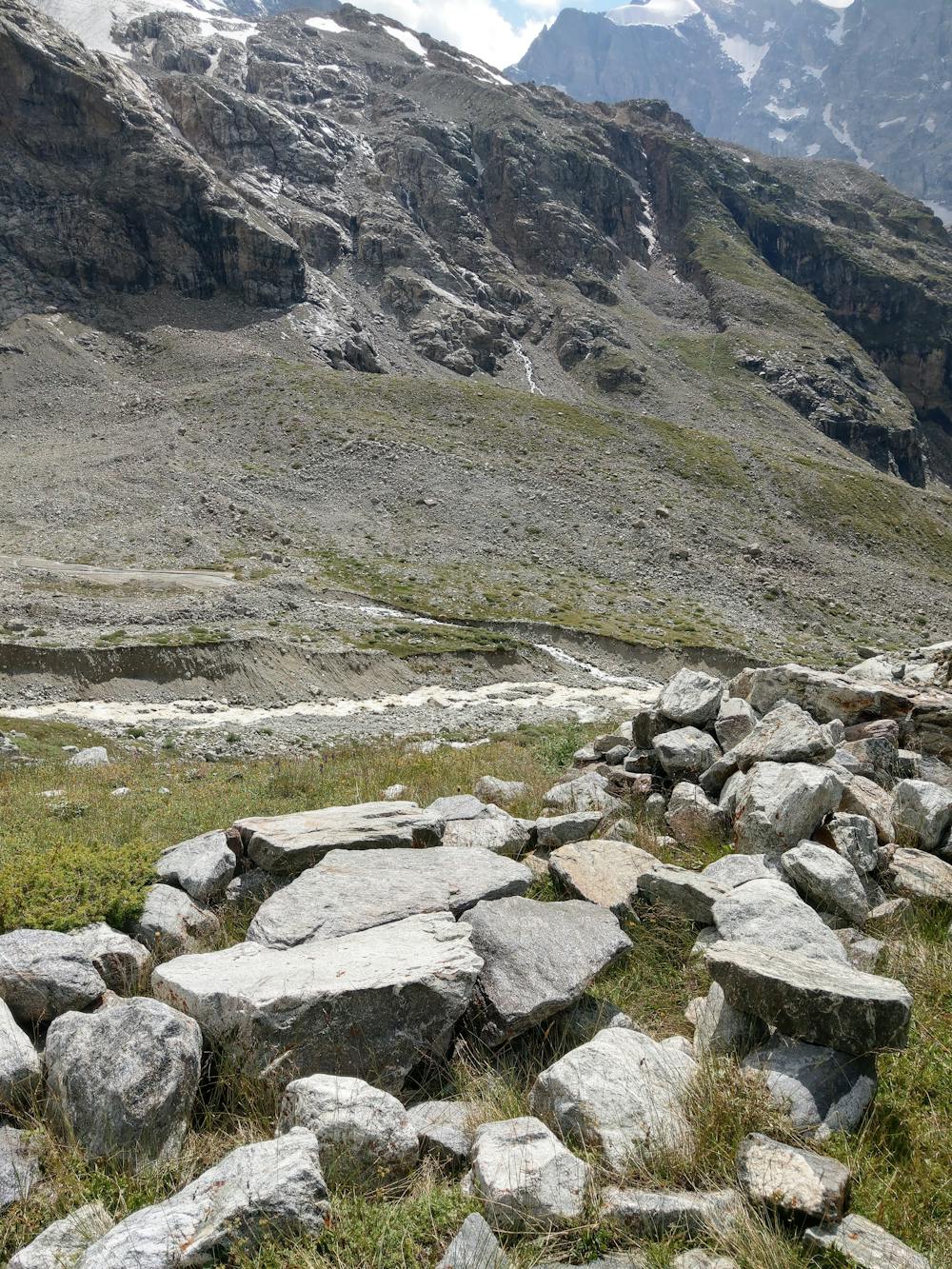
You need permission for border guards to access this route that can be arranged in the alpine camp Ullu-Tau. You can see a lot of picturesque views along the route.
Difficulty
Easy
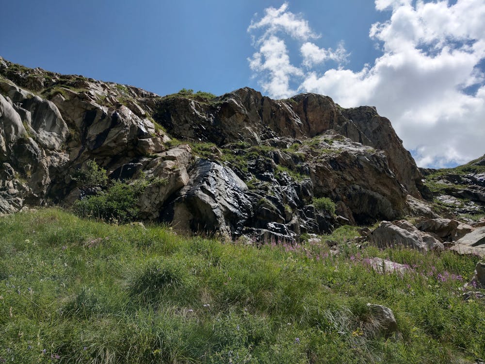
Walking along a well-kept trail that’s mostly flat. No obstacles are present.
Medium Exposure

The trail contains some obstacles such as outcroppings and rock which could cause injury.
Remoteness
Away from help but easily accessed.
Best time to visit
Features
- Alpine
- Picturesque