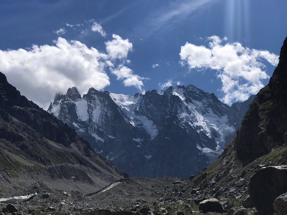
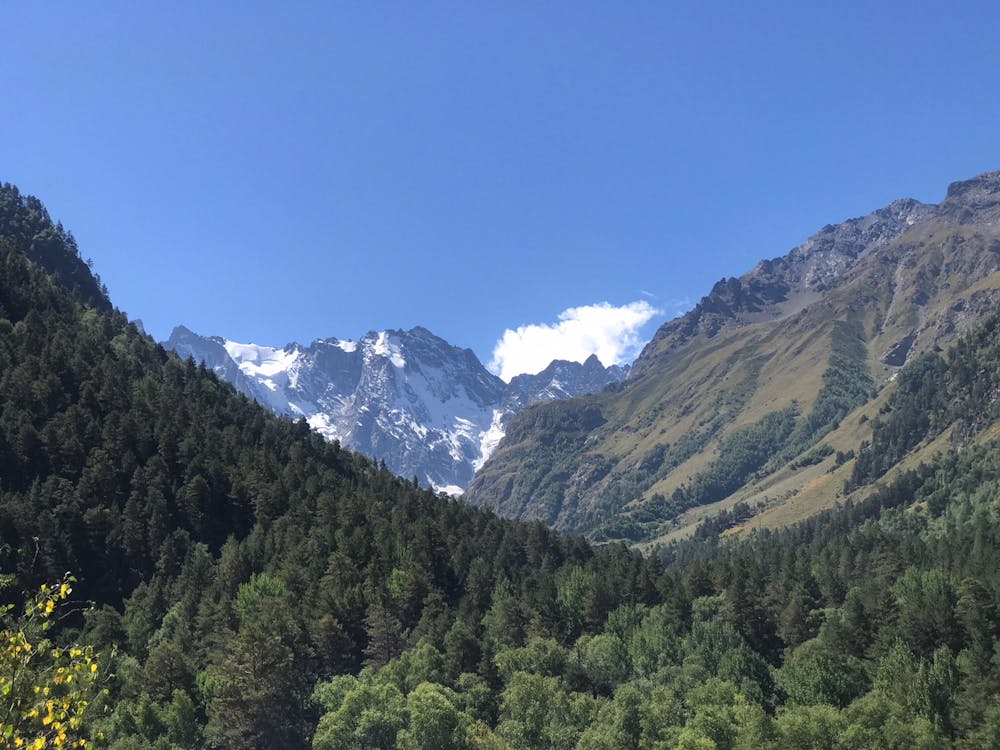
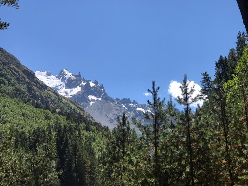
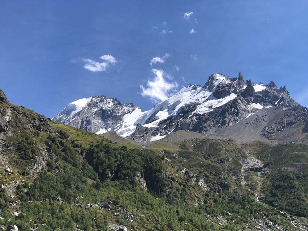
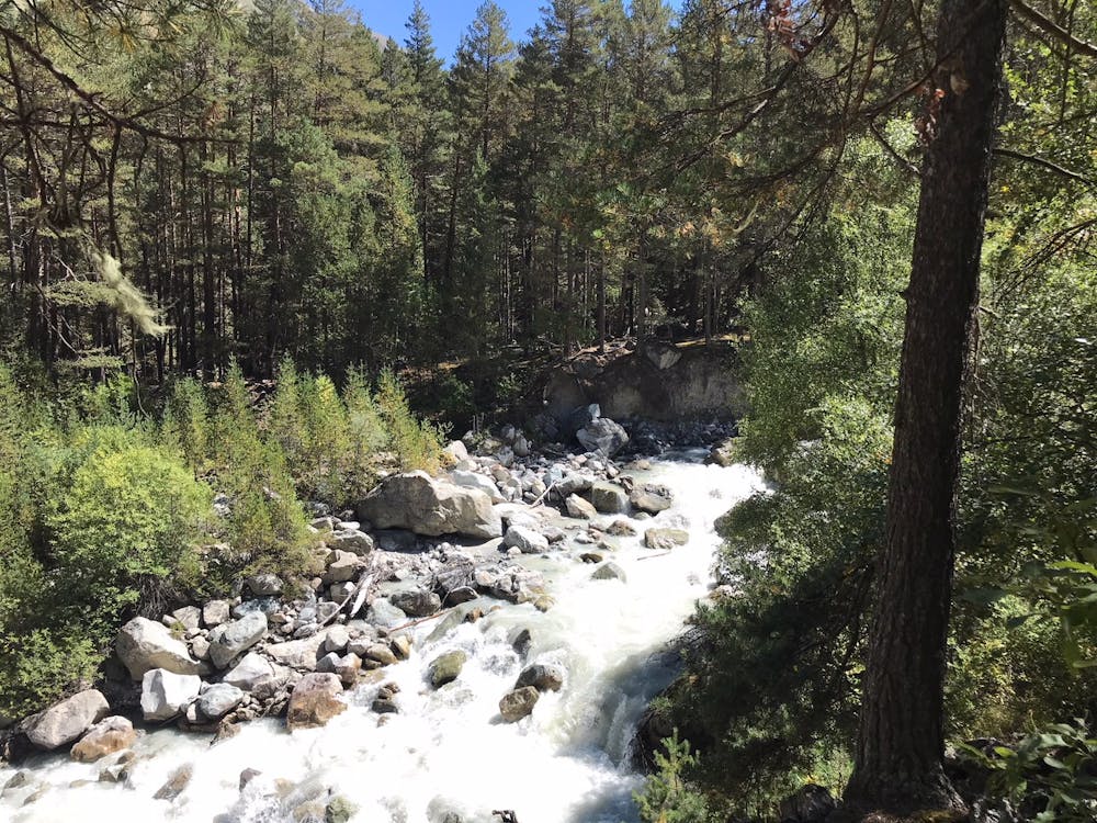
Shelda glacier trail
Shelda glacier trail from Dzhantugan hut
Hiking Easy
- Distance
- 17 km
- Ascent
- 759 m
- Descent
- 750 m
- Duration
- 5-6 hrs
- Low Point
- 1.9 km
- High Point
- 2.3 km
- Gradient
- 11˚

This is a popular hiking route which is generally considered to be easy. It's not remote, it features low exposure and is typically done between May and October. From a low point of 1.9 km to the maximum altitude of 2.3 km, the route covers 17 km, 759 vertical metres of ascent and 750 vertical metres of descent.
- •
- •
- •
- •
- •
Description
Shelda glacier trail from Dzhantugan hut
Difficulty
Easy
Walking along a well-kept trail that’s mostly flat. No obstacles are present.
Low Exposure

The path is on completely flat land and potential injury is limited to falling over.
Remoteness
Close to help in case of emergency.
Best time to visit
Features
- Alpine
- Picturesque
- Wild flowers