Ski descent via Hobot
Elbrus
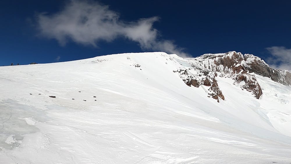
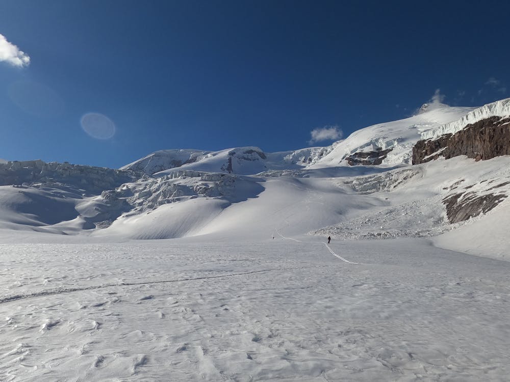
An interesting variant of descent along the ridge, which is called Hobot, which means proboscis.
Ski Touring Difficult
- Distance
- 16 km
- Ascent
- 197 m
- Descent
- 3.5 km
- Duration
- 4-5 hrs
- Low Point
- 2.3 km
- High Point
- 5.6 km
- Gradient
- 33˚

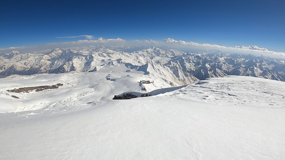
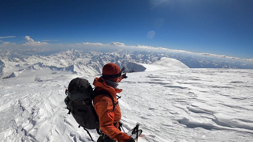
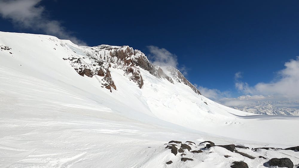
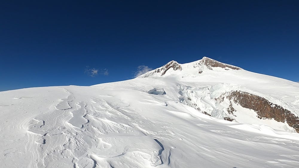
ENG: ↓↓↓ СПУСК НА ЛЫЖАХ С ЗАПАДНОЙ ВЕРШИНЫ ЭЛЬБРУСА ПО ГРЕБНЮ «ХОБОТ» Ну вот мы с вами стоим на западной вершине Эльбруса. Наша цель спустится по ЮЗ гребню известному как «Хобот». Если посмотреть на запад с вершины Эльбруса, то будет хорошо видно плечо, это плечо вершины Кюкюртлю, это именно та цель, на которую нужно ориентироваться, спускаясь с вершины. Перед спуском, оцените состояние Северо-Западного Склона в. Эльбруса, просмотрите спуск до плато между вершинами Эльбруса и Кюкюртлю. Достаточно приспустится на СЗ по скальному гребешку, что бы увидеть полностью спуск до плато. Очень важно увидеть кондиции склона и принять решение по спуску, а так же увидеть выход с СЗ склона на плато. Итак, спуск нужно начать сначала на север, северо-восток, немного приспустится и обогнуть Западную вершину Эльбруса и выйти на северо-западный склон. По северо-западному склону необходимо спускаться до полого места, где можно будет пересечь скальную гряду в сторону плато. Важно! Не спускайтесь слишком сильно, что бы не выходить на плато, на камусах! После того как выйдете на плато, пересекайте его в юго-западном направлении к явно выраженному возвышению – плечу Кюкюртлю. Возвышение является развилкой между ЮЗ гребнем «Хобот» и плечом Кюкюртлю. Далее продолжайте спуск по ЮЗ гр. «Хоботу» в зависимости от состояния ледниковых трещин есть два варианта спуска: Далее по гребню до перевала Хотютау или восточнее гребня объезжая ледовые разломы прямо в сторону перевала Эхо Войны.
- •
- •
- •
- •
- •
- •
- •
- •
- •
- •
- •
- •
Description
An interesting variant of descent along the ridge, which is called Hobot, which means proboscis.
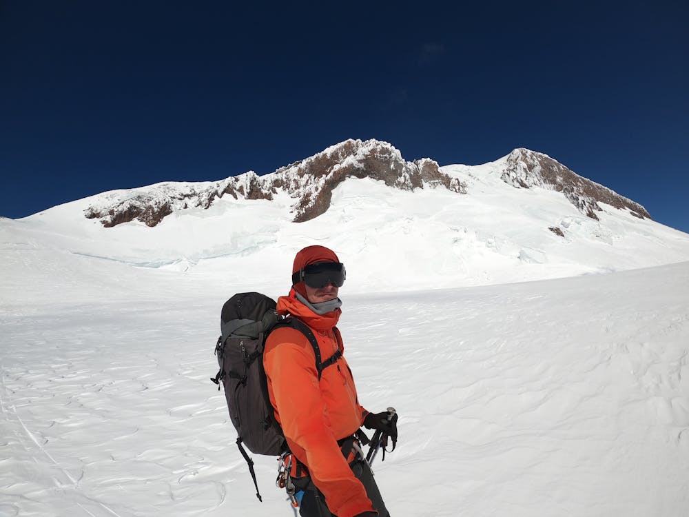
Skiing down from the western summit of Elbrus mountain along the “Khobot" ridge.
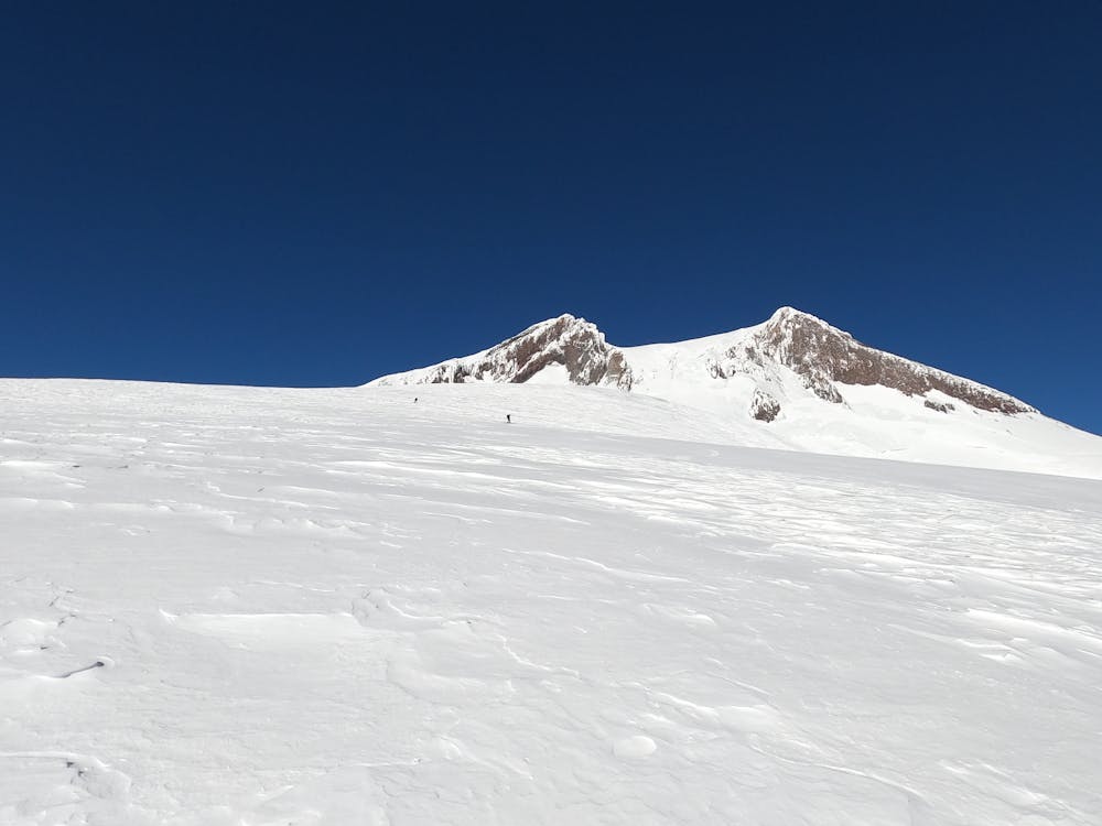
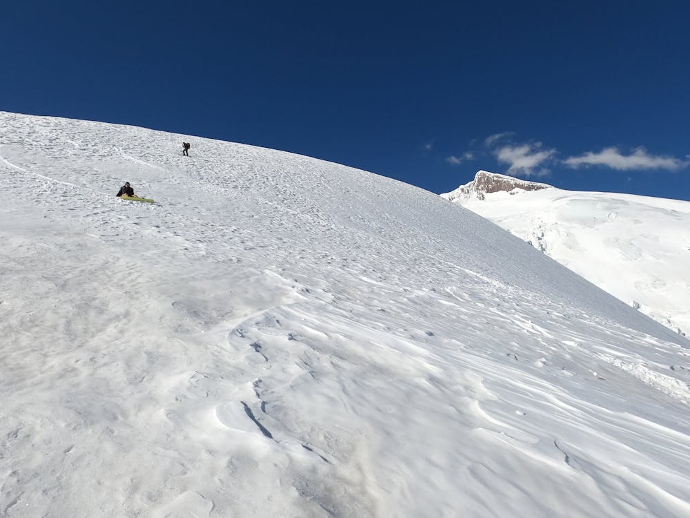
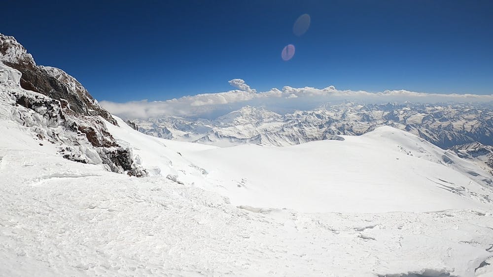
Here we are on the West Summit of Elbrus mountain. Our goal is to ski down along the ridge known as "Khobot". If you look down to the west you will clearly see the shoulder of the Kyukurtlyu summit - the main landmark for descend. Now you need to evaluate snow conditions between the summits of Elbrus and Kyukyurtlyu until the plateau. If everything is fine you can continue to the North or to the NW direction to the hollow where you can cross the rocky ridge towards to the plateau.
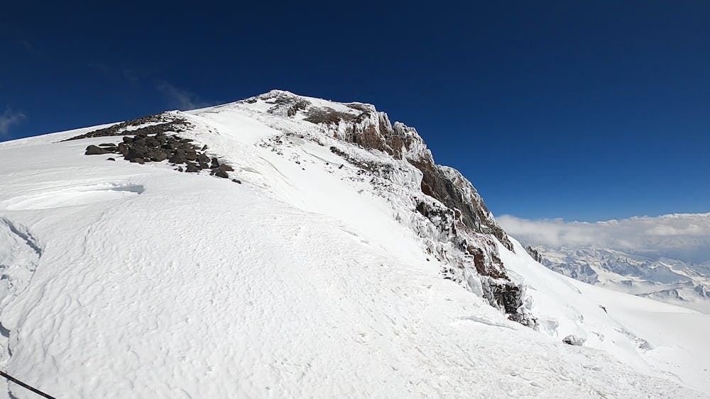
After reaching the plateau, cross it to the south-western direction until Kukurtlu shoulder which is a fork between the Southwest ridge "Khobot" and the Kukurtlu shoulder.
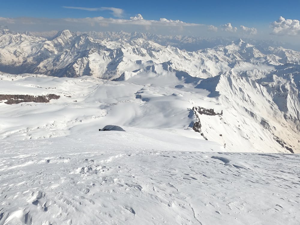
After that continue descending along the South-West ridge to the "Khobot" ridge. Now you've got two options to descent depending on a condition of the glacier crevasses. First one is to continue along the ridge to Hotutau Pass and the second one is to the ridge bypassing the ice faults straight to the "Echo Voiny"("Echo of war") Pass.
Difficulty
Difficult
Serious gradient of 30-38 degrees where a real risk of slipping exists.
High Exposure (E3)

In case of a fall, death is highly likely.
Remoteness

Away from help but easily accessed.
Best time to visit
Features
- Alpine
- Ski Mountaineering
Equipment required
- Rope
- Skins
- Ice axe
- Crampons
- Glacier kit