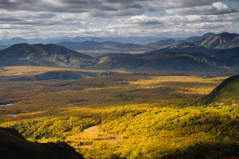
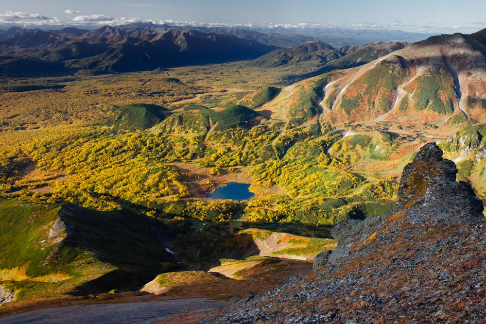
Bezejmenyj trek on Kamchatka: Tochkoloch – Alotchka
3-day wilderness hike
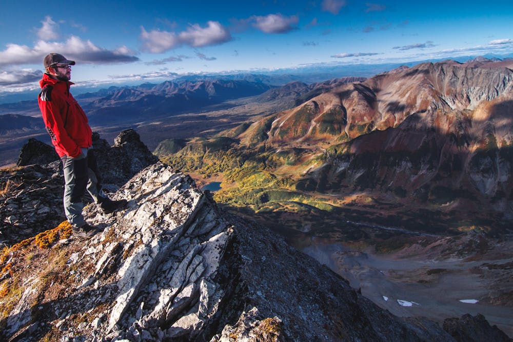
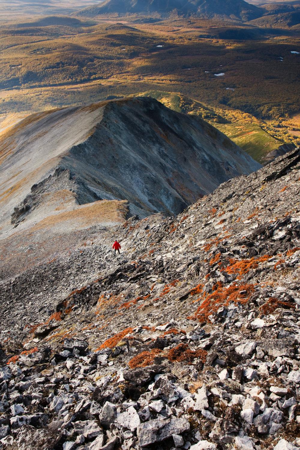
Hiking Extreme
- Distance
- 39 km
- Ascent
- 1.2 km
- Descent
- 1.7 km
- Duration
- 1 day +
- Low Point
- 34 m
- High Point
- 1.1 km
- Gradient
- 21˚

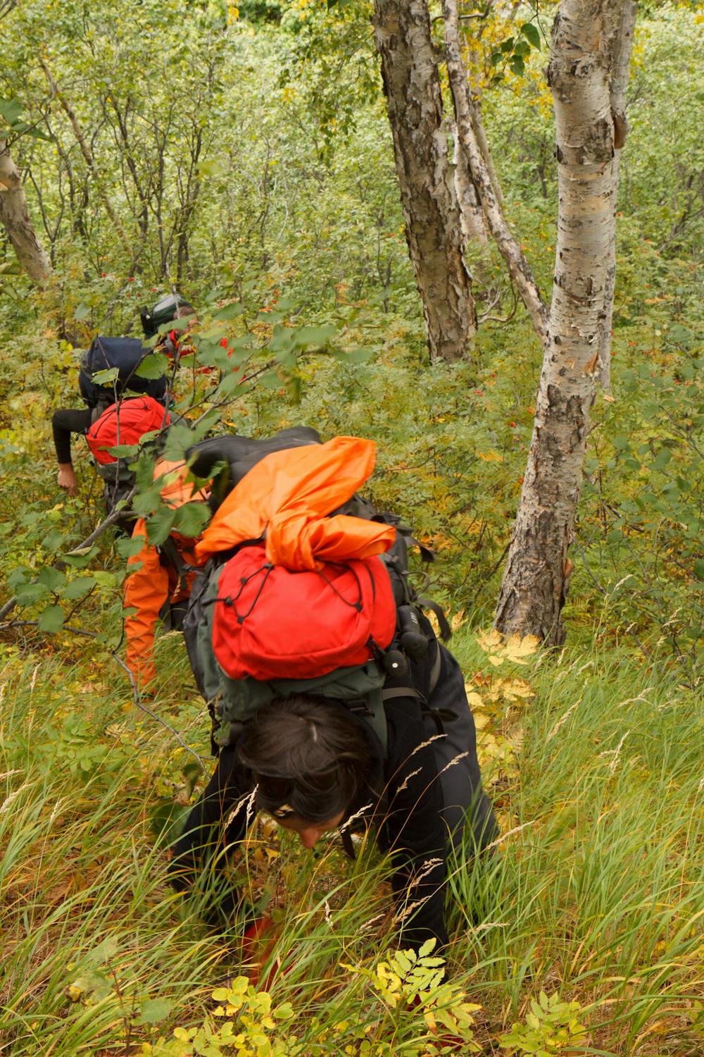
NOTE(!), that there is a missing 1 km in the middle. This is the the hardest part to pass. Almost impenetrable forest. It will take a lot of time to find a way and go through it.
- •
- •
- •
- •
- •
- •
Description
The whole trip takes 3 days and there's nobody and nothing on the way.
More in Adventure Photo Guide: https://hoursfrom.world/guide/bezejmenyj-trek---kamchatka---russia
Difficulty
Extreme
Scrambling up mountains and along technical trails with moderate fall exposure. Handholds are necessary to navigate the trail in its entirety, although they are not necessary at all times. Some obstacles can be very large and difficult to navigate, and the grades can often be near-vertical. The challenge of the trail and the steepness of the grade results in very strenuous hiking. Hikes of this difficulty blur the lines between "hiking" and "climbing".
Medium Exposure

The trail contains some obstacles such as outcroppings and rock which could cause injury.
Remoteness

In the high mountains or remote conditions, all individuals must be completely autonomous in every situation.