gabulushat-big roud
from the peaks to the valley on the big route
Freeride Skiing Difficult
- Distance
- 5 km
- Ascent
- 10 m
- Descent
- 1.4 km
- Low Point
- 1.6 km
- High Point
- 3 km
- Gradient
- 35˚

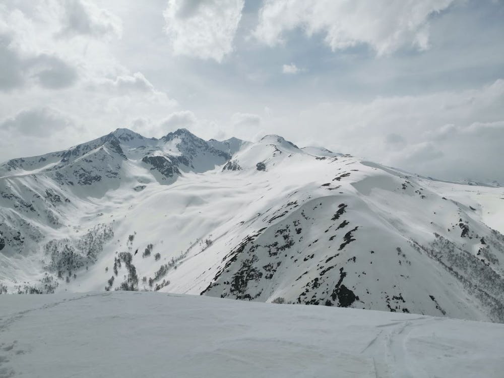
the descent begins after a small ascent from the upper station of the cable car from a height of 3040 meters with a view of 2 valleys-the Arkhyz River and the Przysz stream.the beginning of the route goes along a narrow ridge past a small lake, then there is a sharp descent into the main valley. from a height of 2180 m, a forest zone begins and a sharp descent to the bottom along a hiking trail
Difficulty
Difficult
Serious gradient of 30-38 degrees where a real risk of slipping exists.
Medium Exposure (E2)

As well as the slope itself, there are some obstacles (such as rock outcrops) which could aggravate injury.
Remoteness
Away from help but easily accessed.
Best time to visit
Features
- Bowl
- Trees
- Walk Required