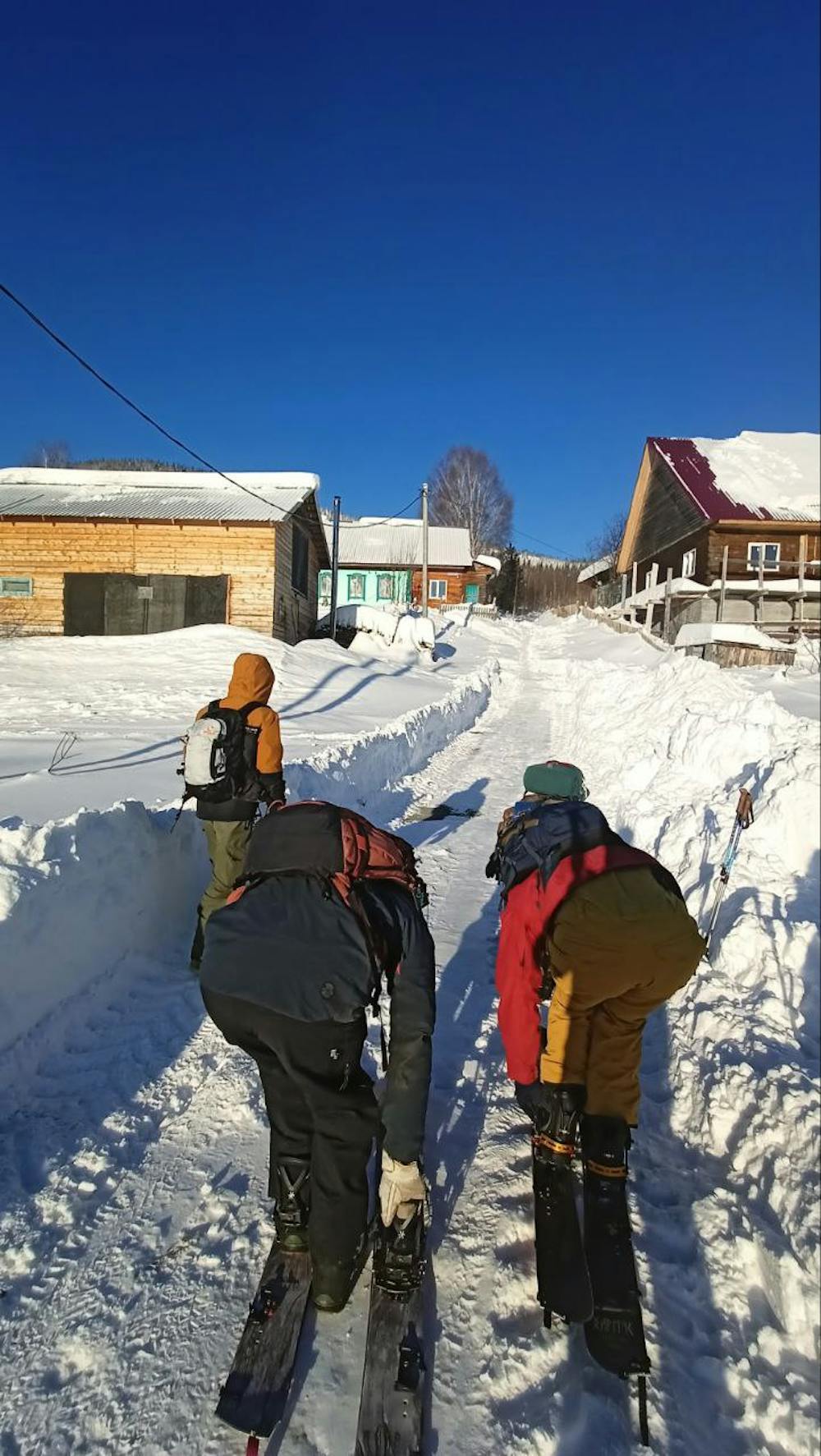
IIN SKITOUR
easy ascent interesting descent
Ski Touring Easy
- Distance
- 7.1 km
- Ascent
- 500 m
- Descent
- 507 m
- Duration
- 3-4 hrs
- Low Point
- 612 m
- High Point
- 906 m
- Gradient
- 28˚

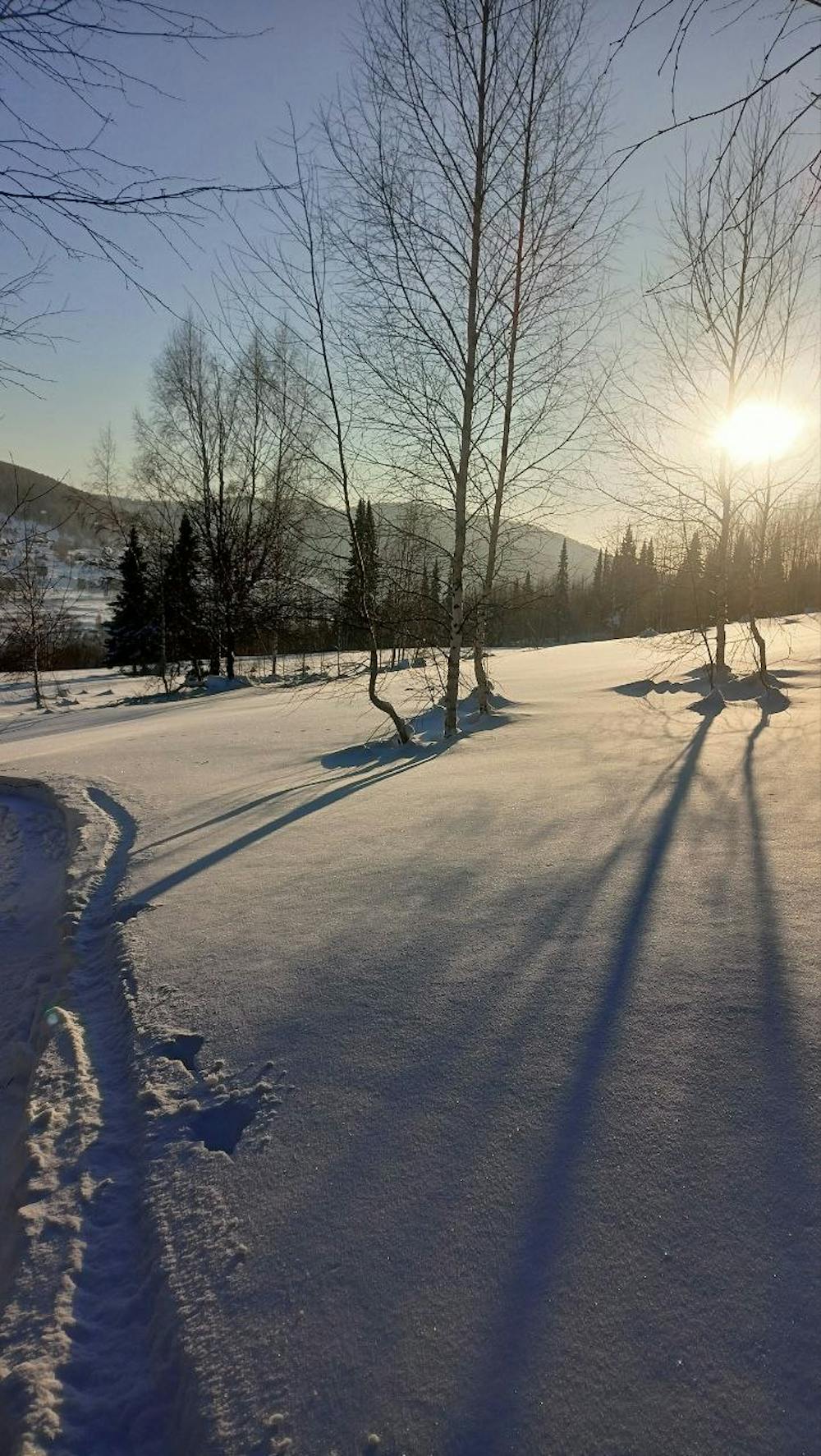
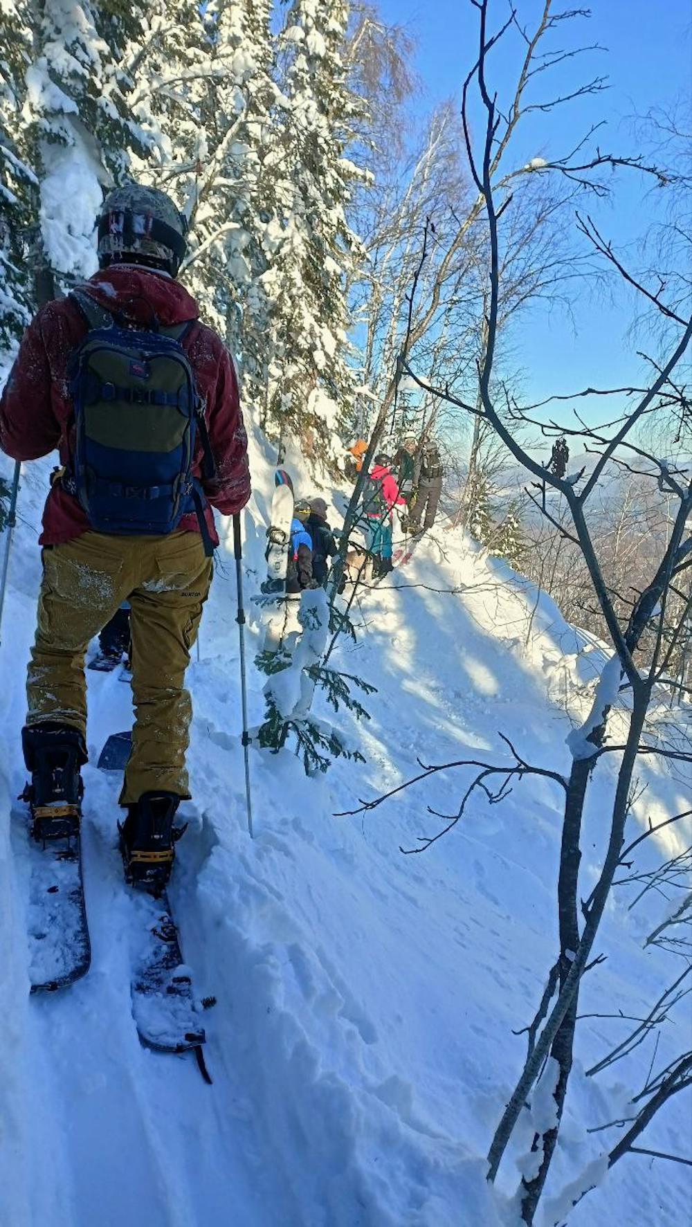
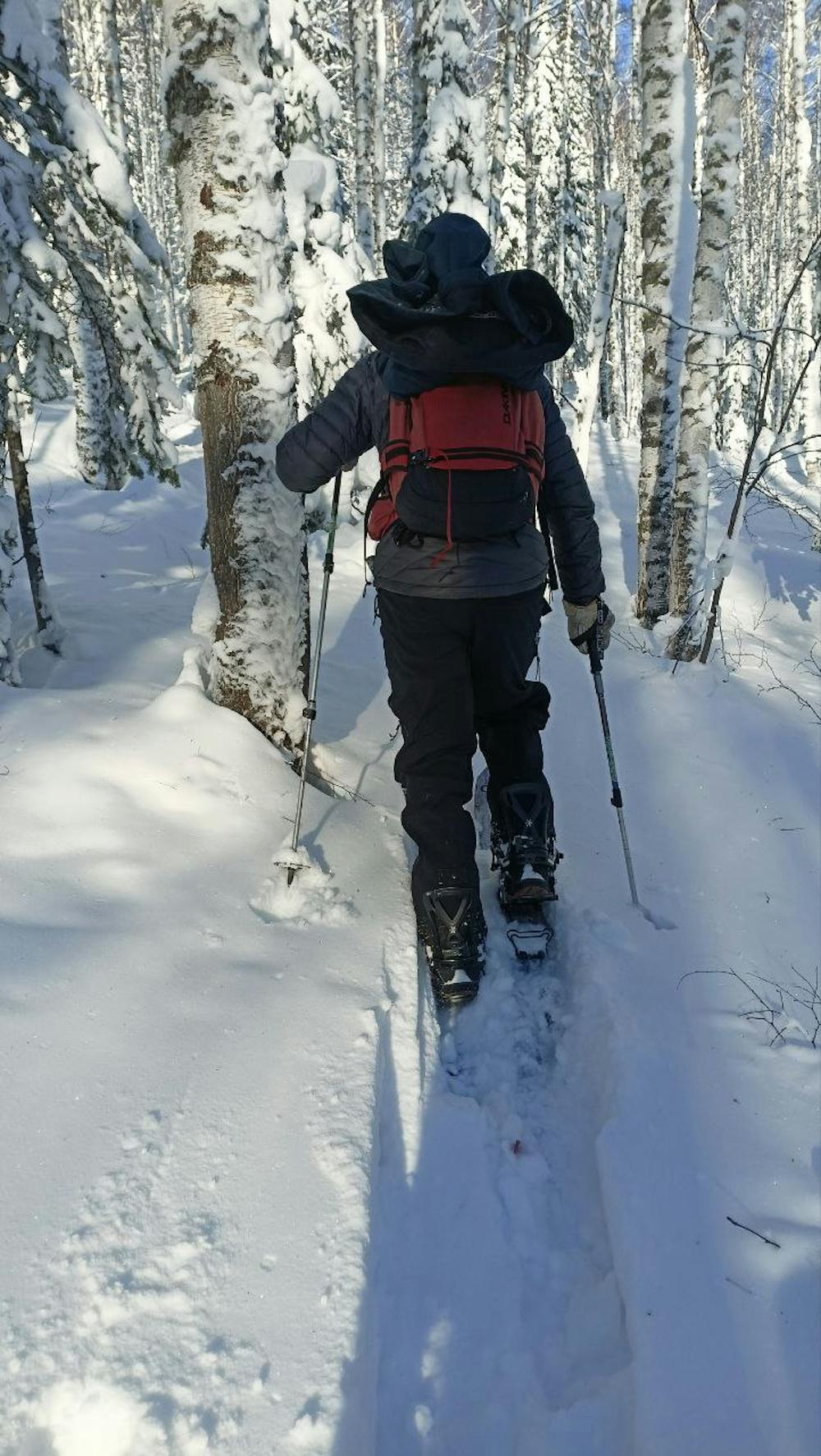
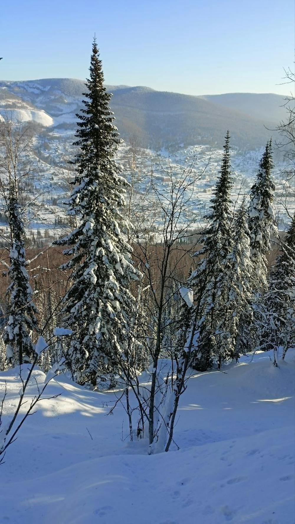
В хорошую погоду виды бомба. Для спуска можно найти много полян с интересным рельефом в начале спуска. С середины спуска начинается плотный лес поэтому лучше на коротких досках.(ДАННЫЙ ТРЕК ОБОЗНАЧАЕТ РАЙОН КАТАНИЯ И НЕ ЯВЛЯЕТСЯ ЕДИНСТВЕННЫМ И БЕЗОПАСНЫМ!!! ВЫБИРАЙТЕ МАРШРУТ В ЗАВИСИМОСТИ ОТ ПОГОДНЫХ УСЛОВИЙ, КОНДИЦИЙ СНЕГА И СВОИХ ВОЗМОЖНОСТЕЙ!!!)
- •
- •
- •
- •
- •
Difficulty
Easy
Wide gentle slopes at around 20 degrees or less.
Low Exposure (E1)

Exposure is limited to that of the slope itself. Getting hurt is still likely if the slope is steep and/or the snow is hard.
Remoteness

Away from help but easily accessed.
Best time to visit
Features
- Tree Skiing
Equipment required
- Skins