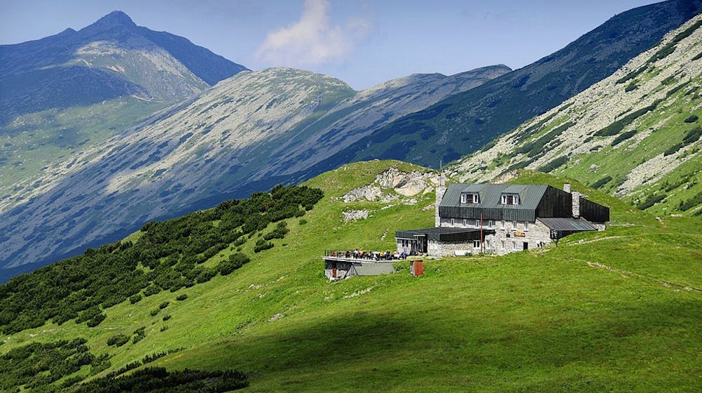
Abendtour Chata M.R. Stefanika
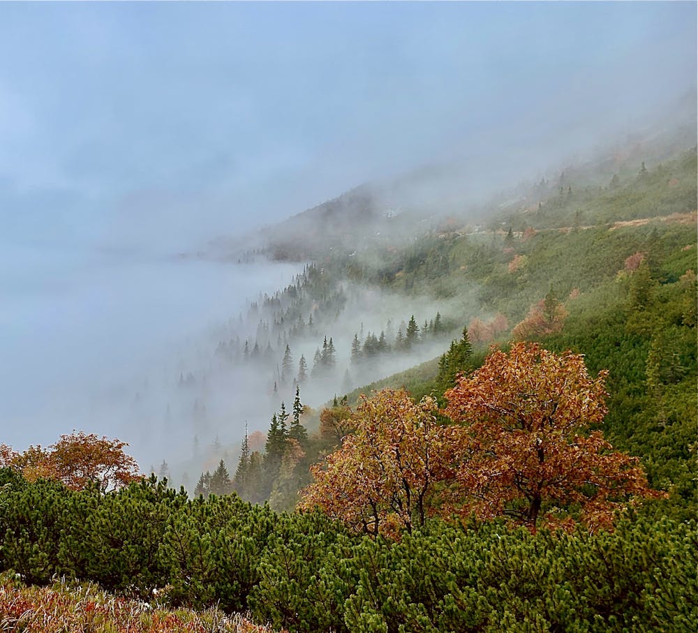
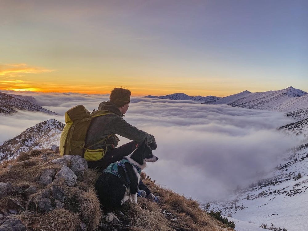
Kurze Nachmittagswanderung mit doch fast 600 Höhenmetern im Auf- und Abstieg zum Sonnenuntergang und Einkehrmöglichkeit in der schönen Berghütte M.R. Stefanika.
Hiking Moderate
- Distance
- 8.1 km
- Ascent
- 567 m
- Descent
- 589 m
- Duration
- 2-3 hrs
- Low Point
- 1.1 km
- High Point
- 1.7 km
- Gradient
- 13˚

Kurze, mittelschwere Wanderung mit fast 600 Höhenmetern im Auf- und Abstieg auf demselben Weg. Wanderweg ist perfekt markiert und teilweise sehr steinig. Auch im Winter machbar - mit Grödeln! Die Berghütte ist das ganze Jahr geöffnet und bietet eine reichhaltige Auswahl an Speisen und Getränken.
- •
- •
- •
- •
Difficulty
Moderate
Hiking along trails with some uneven terrain and small hills. Small rocks and roots may be present.
Low Exposure

The path is on completely flat land and potential injury is limited to falling over.
Remoteness
Close to help in case of emergency.
Best time to visit
Features
- Wildlife
- Picturesque
- Dog friendly
- Wild flowers
- Water features
- Forestry or heavy vegetation