Rundwanderung im Hochtal von Donovaly
Leichte und aussichtsreiche Rundwanderung, geeignet für jede Jahreszeit.
Hiking Easy
- Distance
- 16 km
- Ascent
- 421 m
- Descent
- 420 m
- Duration
- 3-4 hrs
- Low Point
- 910 m
- High Point
- 1.1 km
- Gradient
- 6˚

This is a popular hiking route which is generally considered to be easy. It's not remote, it features low exposure and is typically done all year round. From a low point of 910 m to the maximum altitude of 1.1 km, the route covers 16 km, 421 vertical metres of ascent and 420 vertical metres of descent.
- •
- •
- •
- •
Description
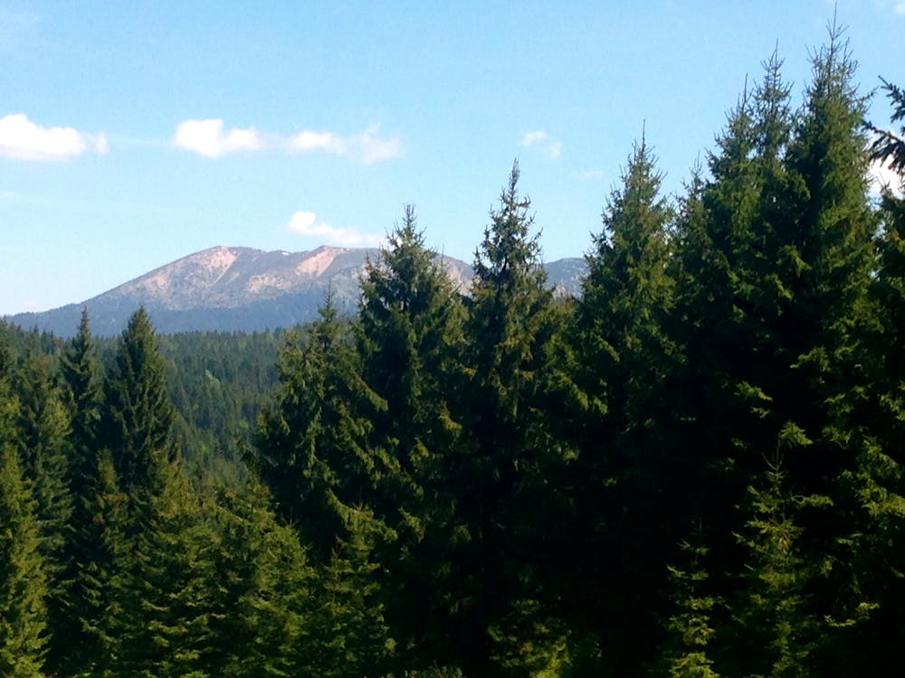
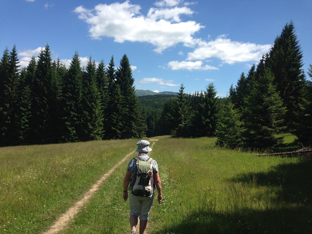
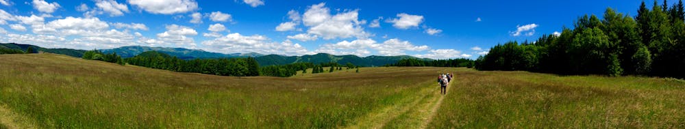
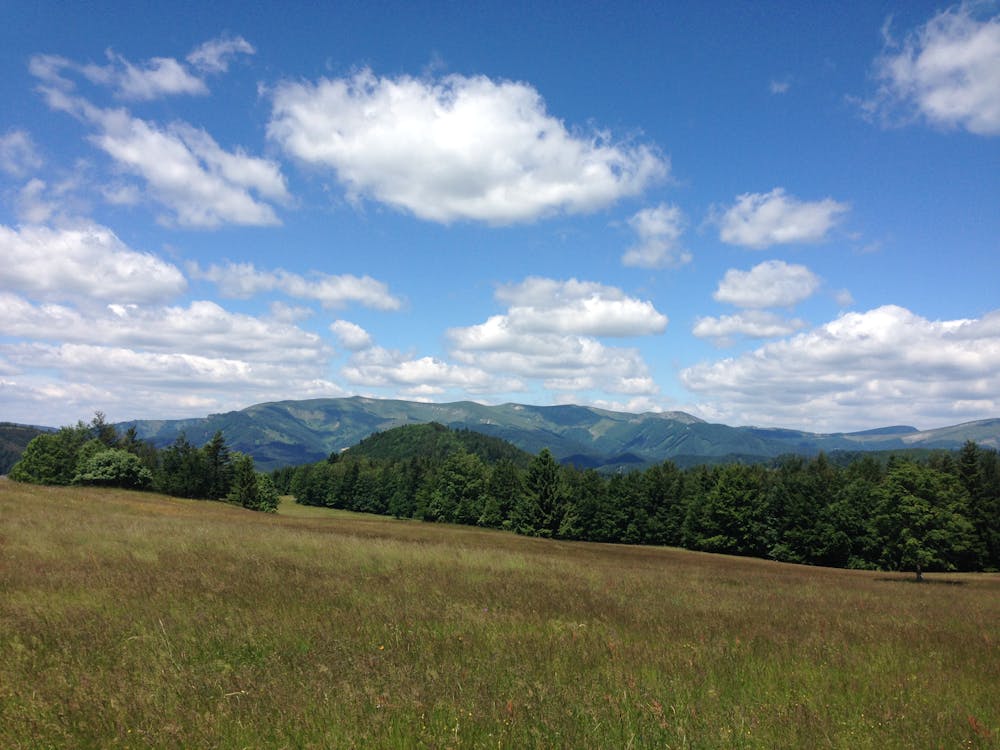
Die Wanderung ist leicht und auch für Kinder geeignet. Besonders schön ist der Wechsel zwischen Wald und aussichtsreichen Bergwiesenlandschaften.
Difficulty
Easy
Walking along a well-kept trail that’s mostly flat. No obstacles are present.
Low Exposure

The path is on completely flat land and potential injury is limited to falling over.
Remoteness
Close to help in case of emergency.
Best time to visit
Features
- Picturesque
- Dog friendly
- Wild flowers
- Family friendly
- Forestry or heavy vegetation