Veľkouherecký turistický okruh
Značená trasa - zelená
Hiking Moderate
- Distance
- 19 km
- Ascent
- 665 m
- Descent
- 645 m
- Duration
- 4-5 hrs
- Low Point
- 226 m
- High Point
- 715 m
- Gradient
- 9˚

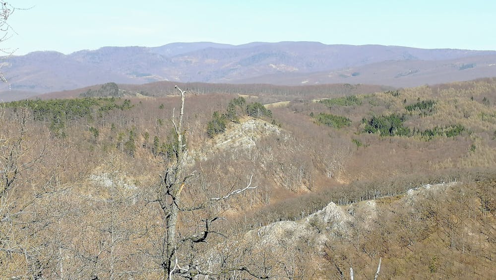
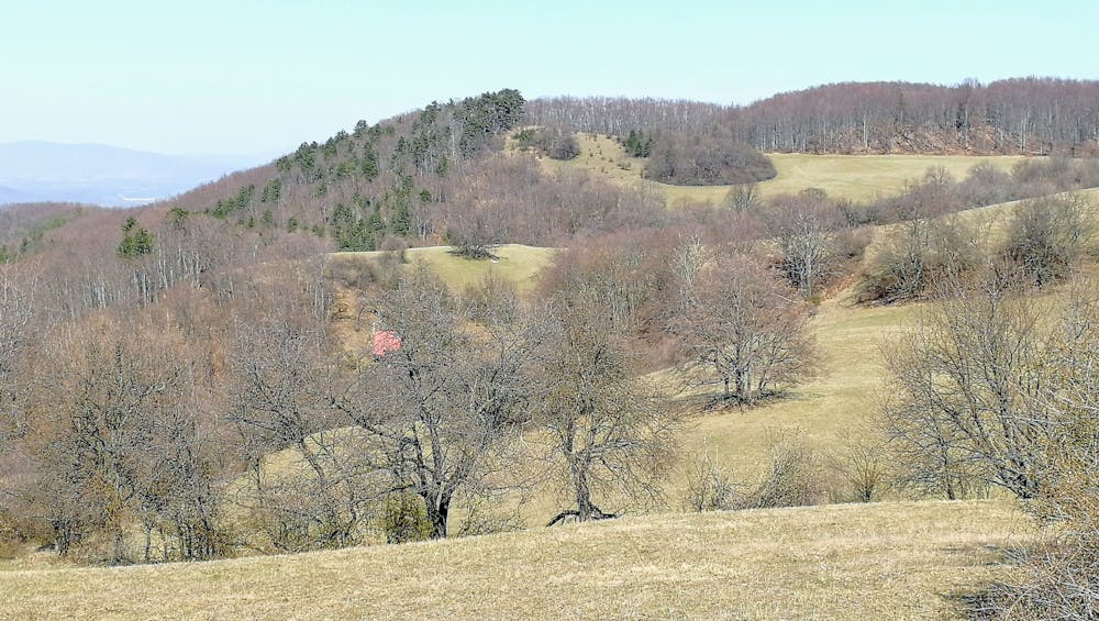
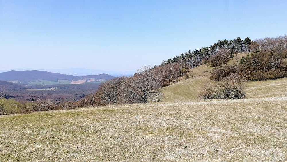
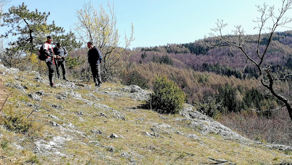
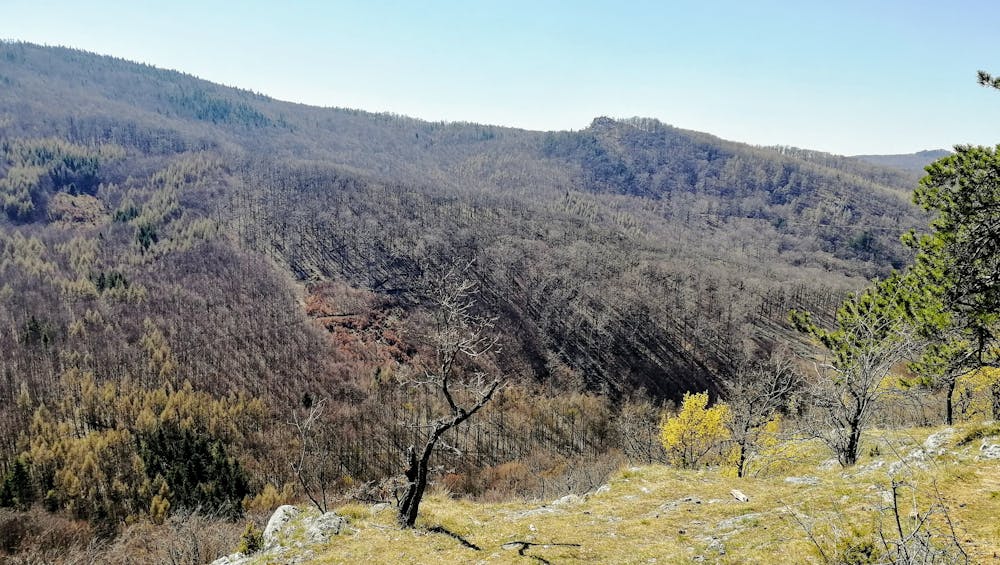
This is a popular hiking route which is generally considered to be moderate. It's remote, it features medium exposure and is typically done between March and November. From a low point of 226 m to the maximum altitude of 715 m, the route covers 19 km, 665 vertical metres of ascent and 645 vertical metres of descent.
- •
- •
- •
- •
- •
- •
- •
- •
- •
Description
Hrebeňovka okolo veľkouhereckéo chotára
Difficulty
Moderate
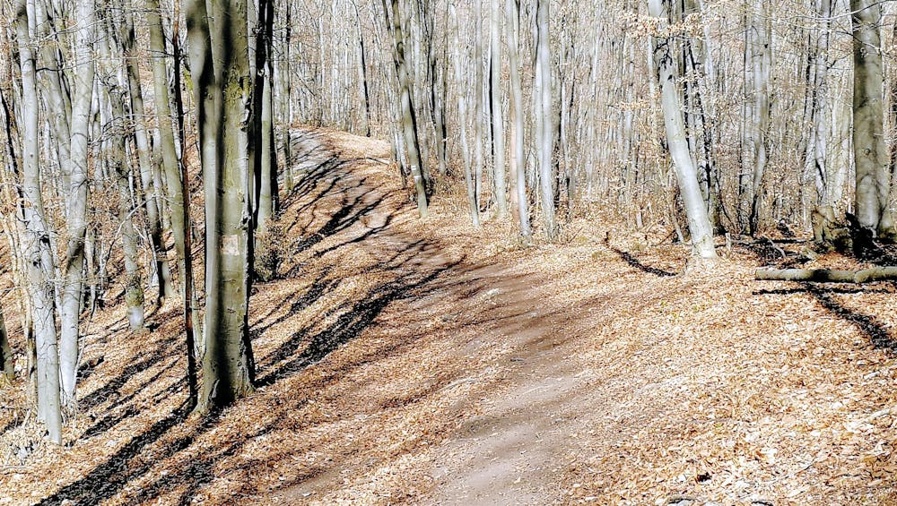
Hiking along trails with some uneven terrain and small hills. Small rocks and roots may be present.
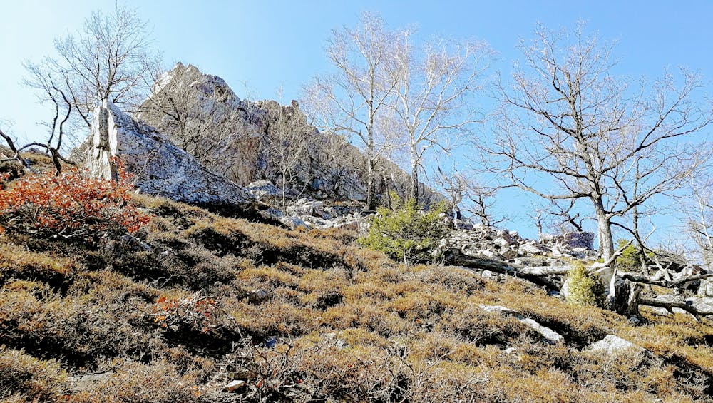
Medium Exposure

The trail contains some obstacles such as outcroppings and rock which could cause injury.
Remoteness
Away from help but easily accessed.
Best time to visit
Features
- Historical
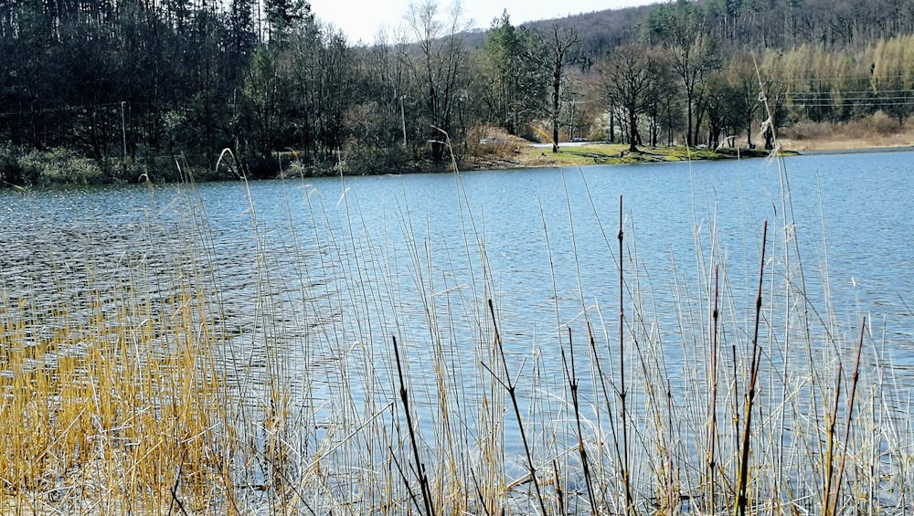
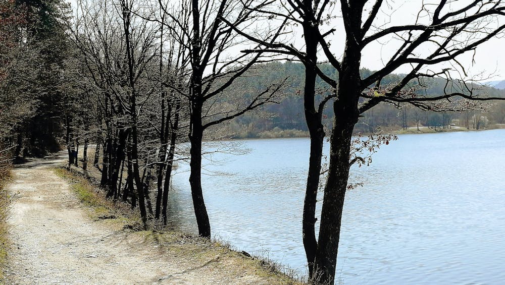
- Picturesque
- Summit Hike
- Dog friendly
- Wild flowers
- Family friendly