Leichte Bergwanderung auf den Hauptkamm der Niederen Tatra
Leichte und aussichtsreiche Bergwanderung.
Hiking Moderate
- Distance
- 13 km
- Ascent
- 805 m
- Descent
- 813 m
- Duration
- 3-4 hrs
- Low Point
- 1 km
- High Point
- 1.7 km
- Gradient
- 12˚

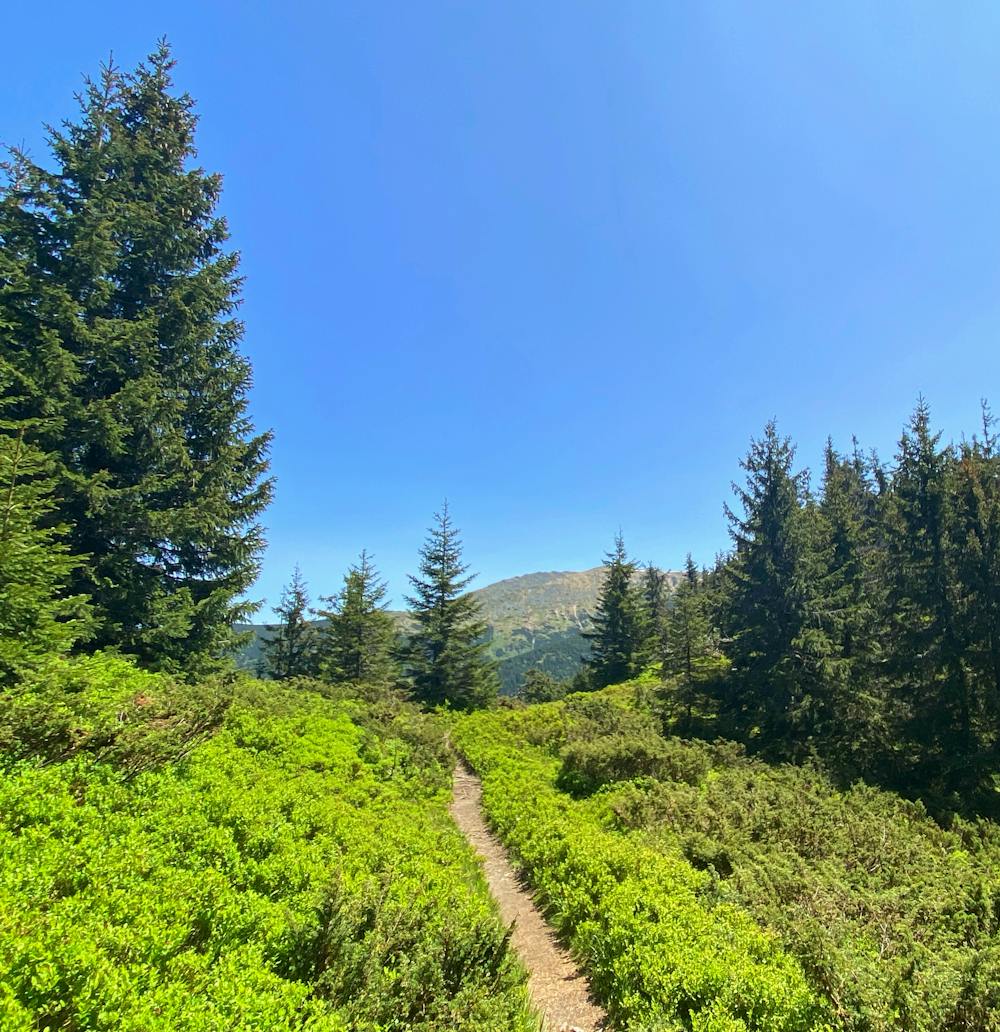
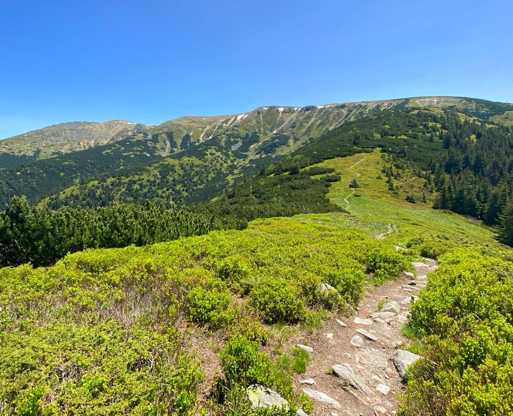
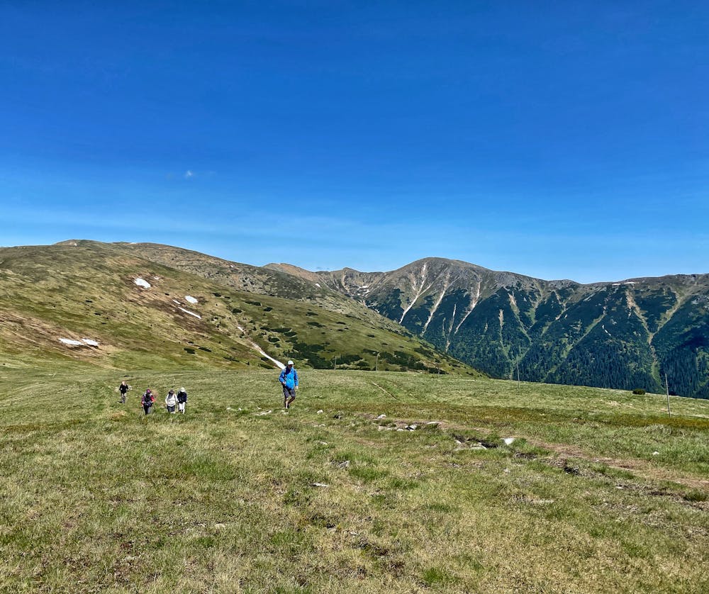
This is a popular hiking route which is generally considered to be moderate. It's remote, it features low exposure and is typically done between May and October. From a low point of 1 km to the maximum altitude of 1.7 km, the route covers 13 km, 805 vertical metres of ascent and 813 vertical metres of descent.
- •
- •
- •
Description
Leichte Bergwanderung über gute Wege mit herrlichen Blicken
Difficulty
Moderate
Hiking along trails with some uneven terrain and small hills. Small rocks and roots may be present.
Low Exposure

The path is on completely flat land and potential injury is limited to falling over.
Remoteness

Away from help but easily accessed.
Best time to visit
Features
- Wildlife
- Picturesque
- Summit Hike
- Dog friendly
- Wild flowers
- Forestry or heavy vegetation