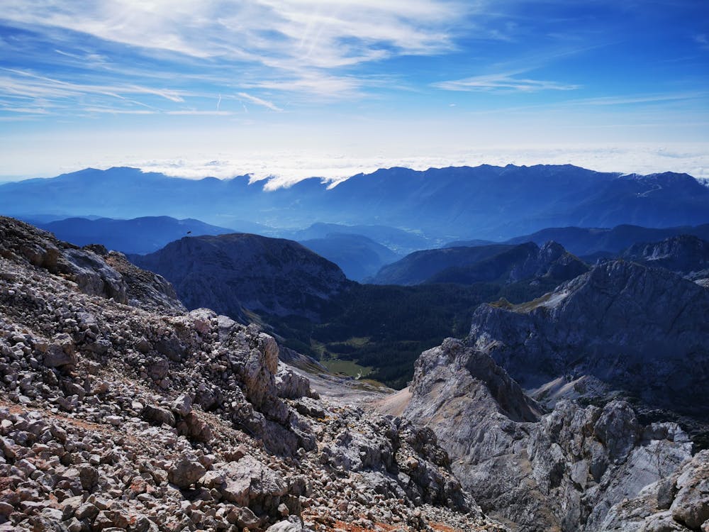
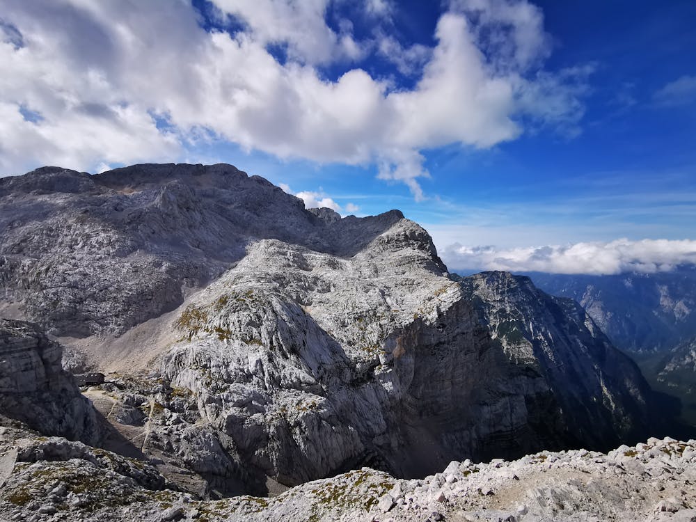
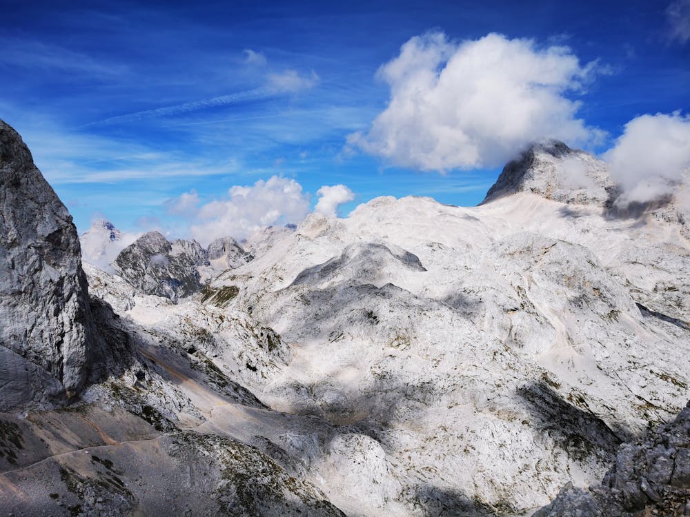
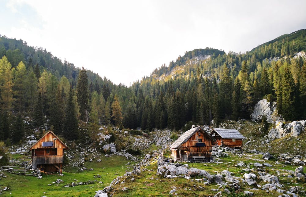
Triglav - from Vodnik's mountain lodge to mountain pasture Blato
Part of a large circular tour through spectacular scenery
Hiking Difficult
- Distance
- 21 km
- Ascent
- 1.4 km
- Descent
- 2.1 km
- Duration
- 6-7 hrs
- Low Point
- 1.2 km
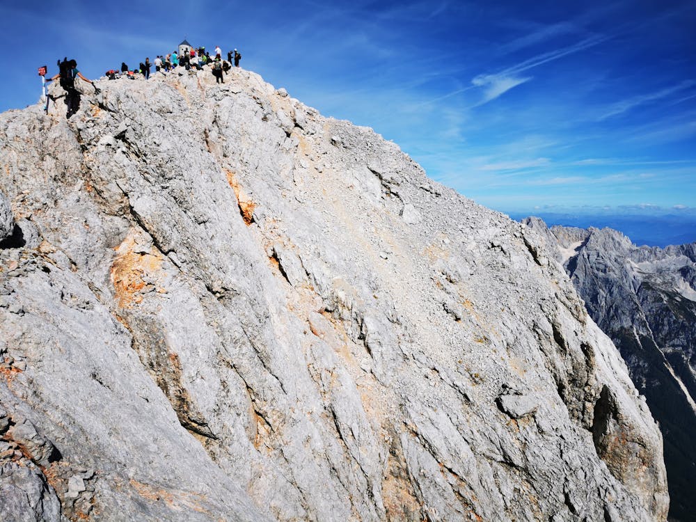
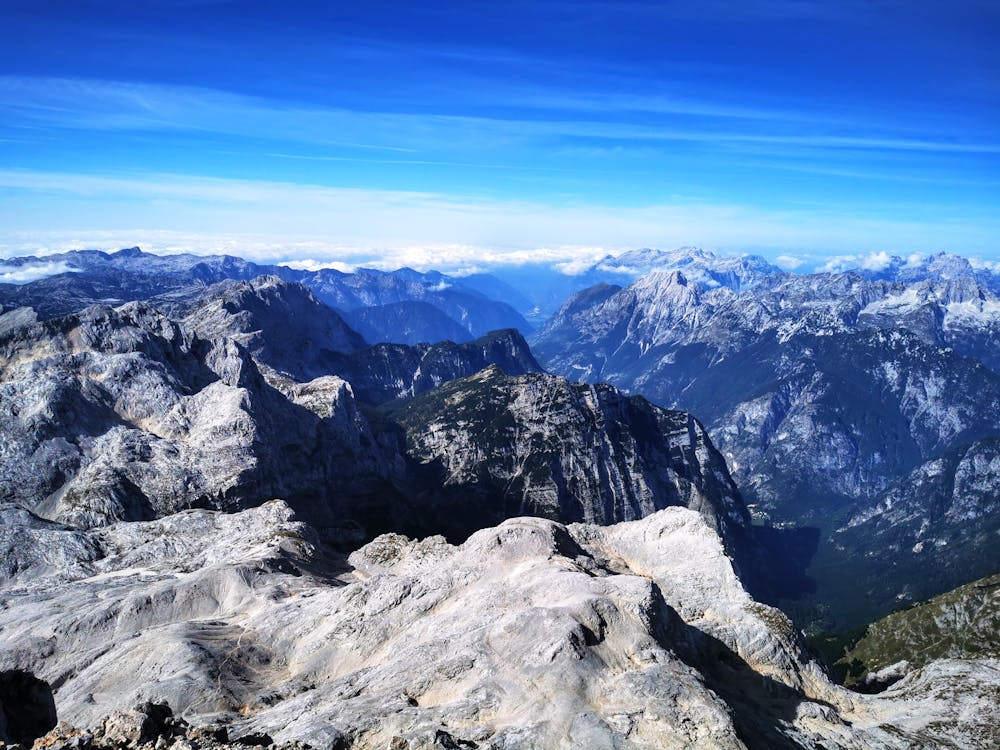
- High Point
- 2.8 km
- Gradient
- 20˚

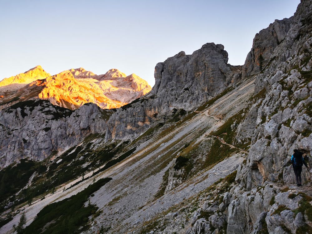
This is a popular hiking route which is generally considered to be difficult. It's remote, it features medium exposure and is typically done between June and August. From a low point of 1.2 km to the maximum altitude of 2.8 km, the route covers 21 km, 1386 vertical metres of ascent and 2052 vertical metres of descent.
- •
- •
- •
- •
- •
- •
- •
- •
- •
- •
Description
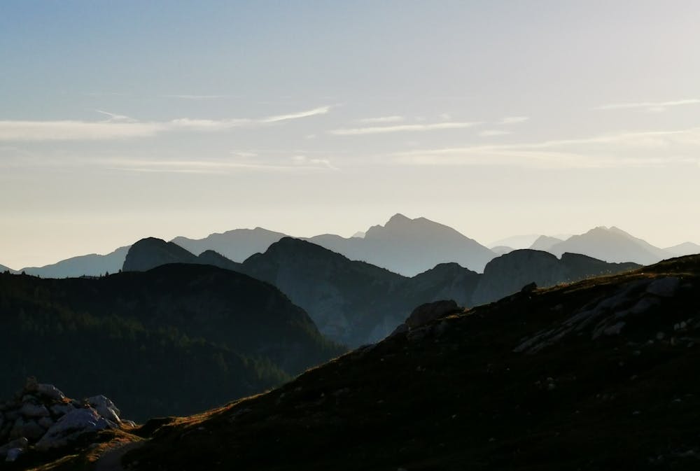
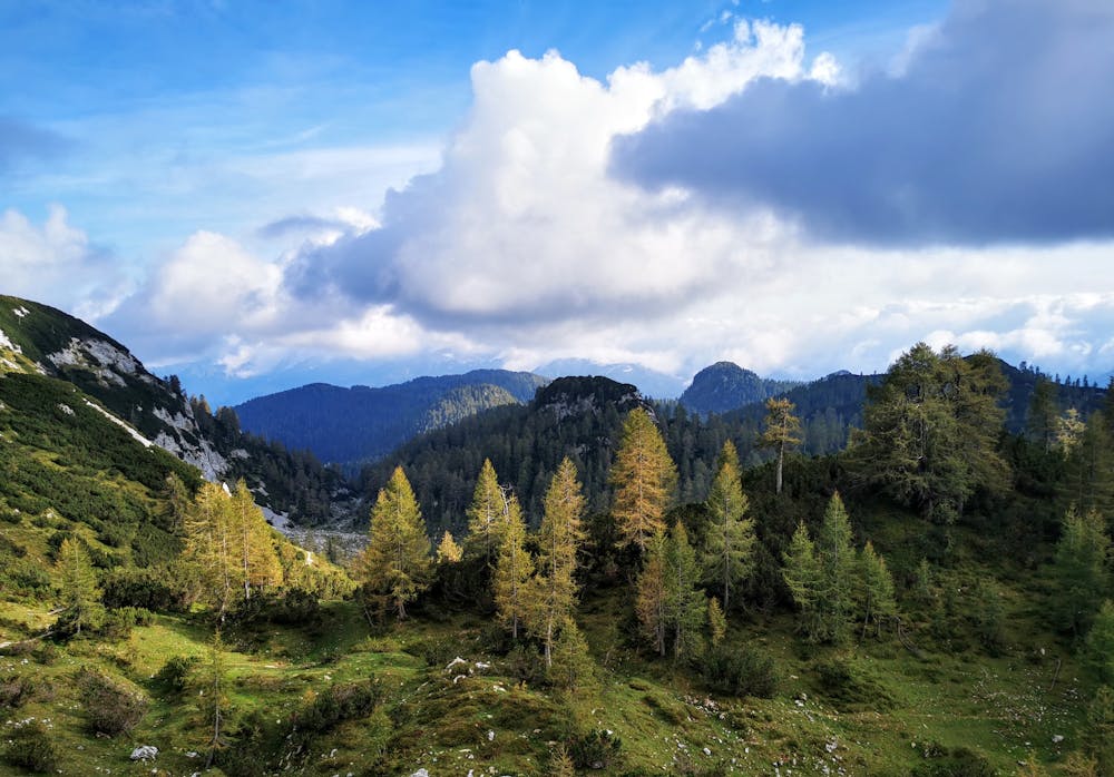
Beautiful nature
Difficulty
Difficult
Hiking trails where obstacles such as rocks or roots are prevalent. Some obstacles can require care to step over or around. At times, the trail can be worn and eroded. The grade of the trail is generally quite steep, and can often lead to strenuous hiking.
Medium Exposure

The trail contains some obstacles such as outcroppings and rock which could cause injury.
Remoteness
Away from help but easily accessed.
Best time to visit
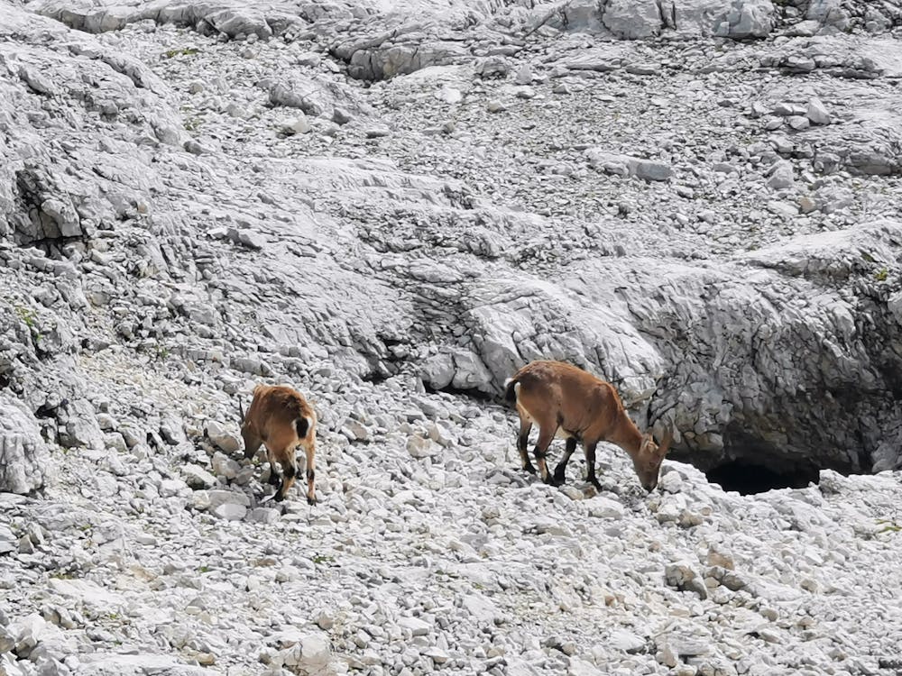
Features
- Alpine
- Wildlife
- Wild flowers