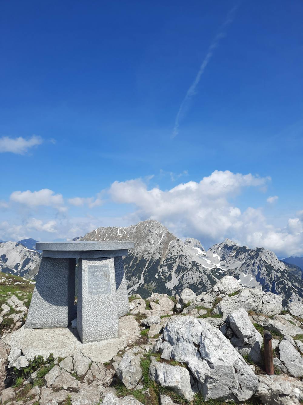
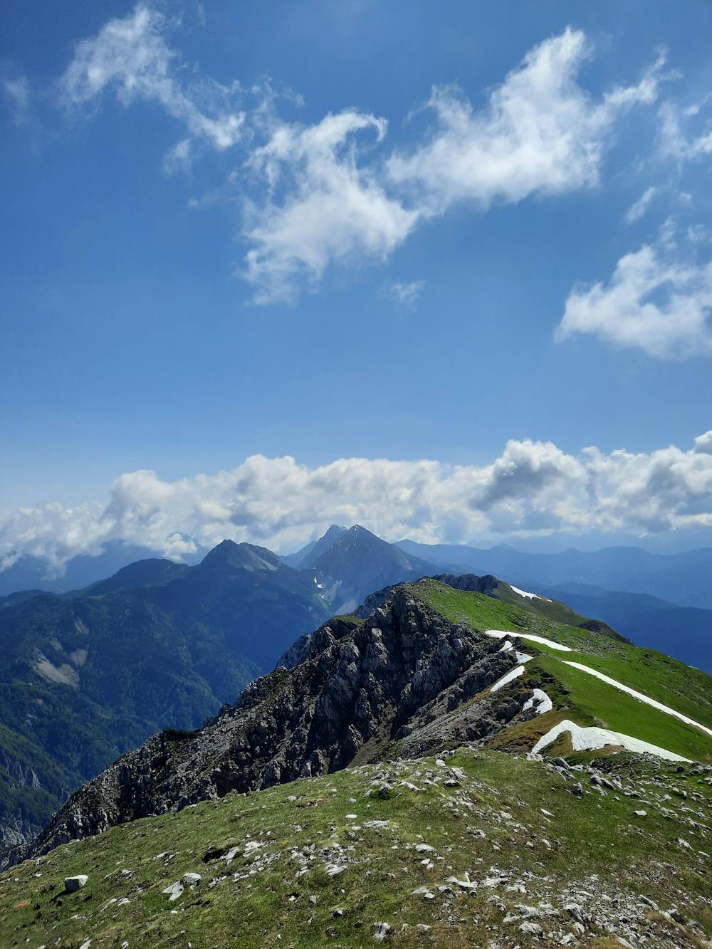
Veliki Vrh
Ausgang vom Parkplatz Loiblpass
Hiking Difficult
- Distance
- 12 km
- Ascent
- 1.1 km
- Descent
- 1.1 km
- Duration
- 4-5 hrs
- Low Point
- 1.1 km
- High Point
- 2 km
- Gradient
- 27˚

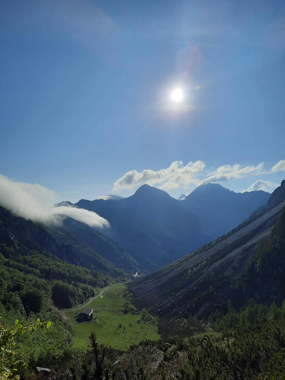
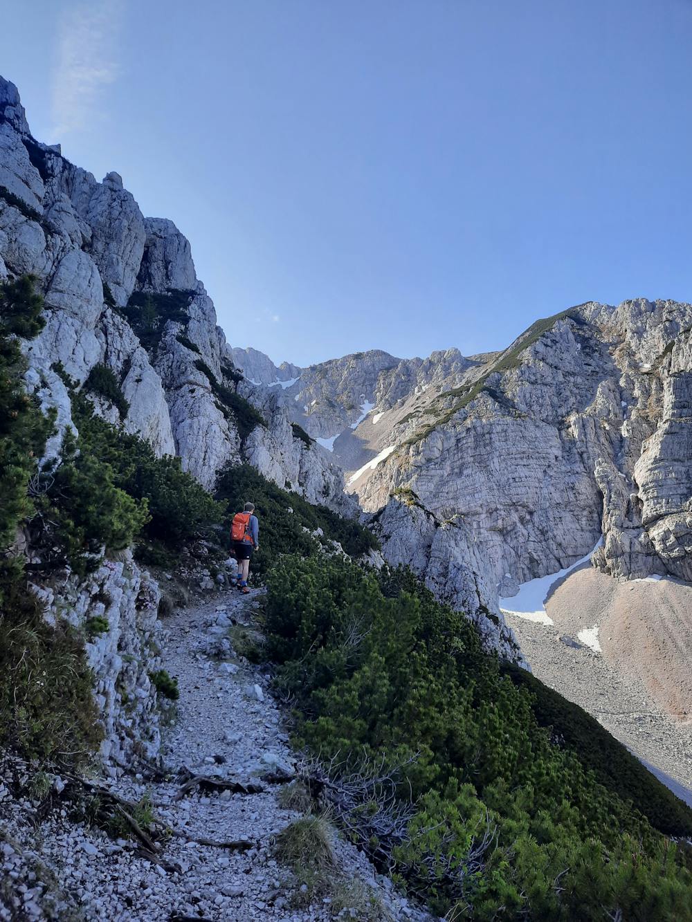
Vom Parkplatz gehts zum Dom na Zelenici und dort links weiter Richtung Südwesten. Durch Latschen und freien Gelände gelangt man schlussendlich zum Südhang des Veliki vrh. Dort weiter über den Weg zum Gipfel.
- •
- •
- •
- •
- •
- •
- •
Description
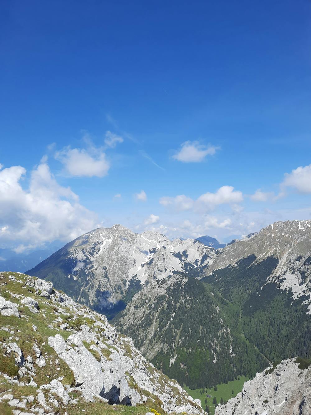
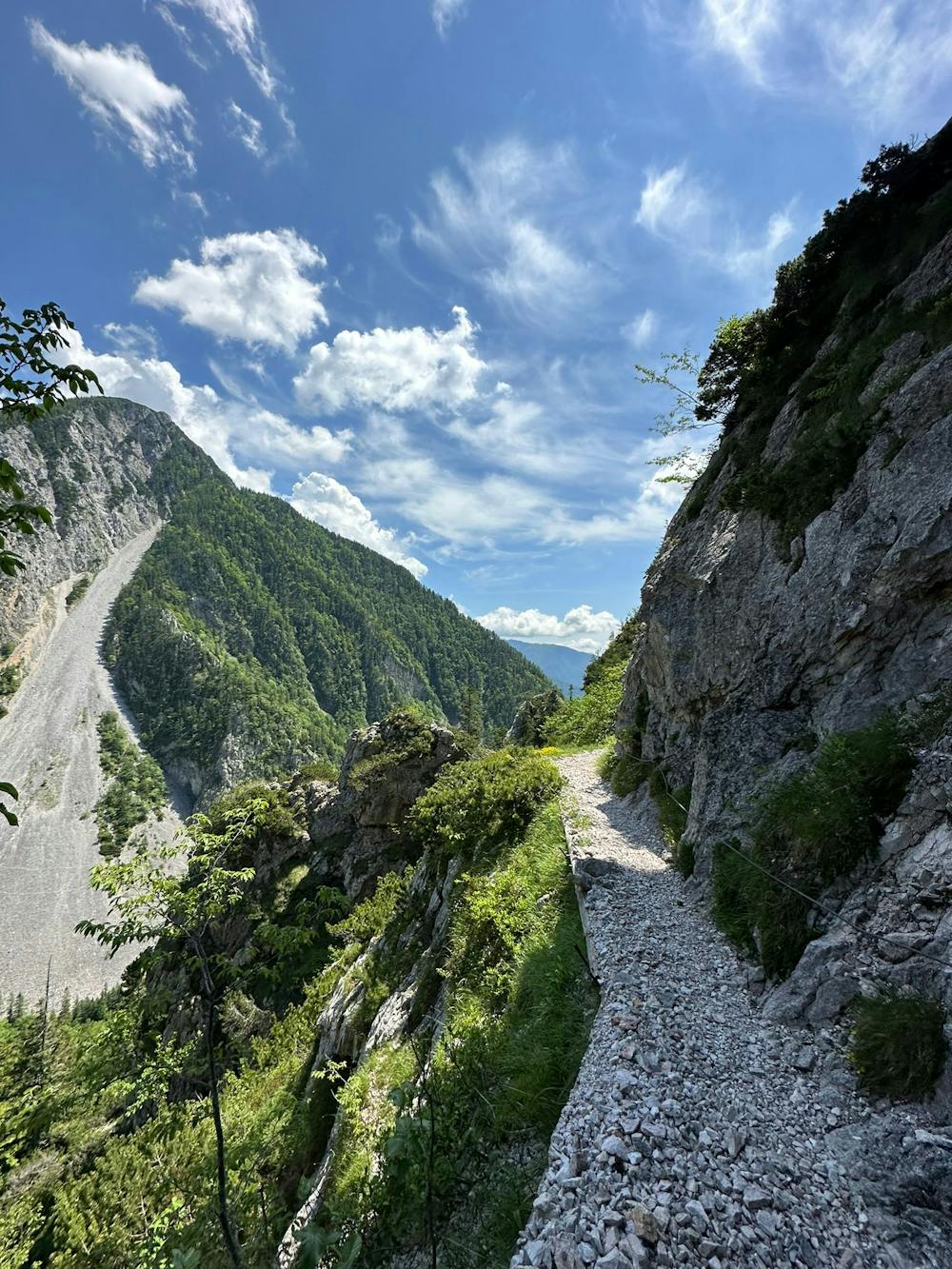
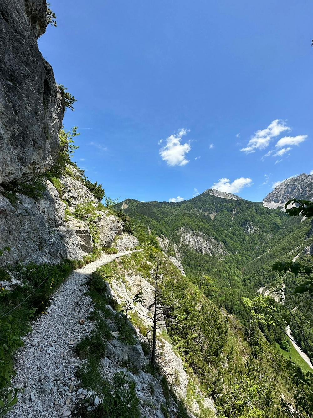
Der Abstieg führt am Fuße des Begunjska Vrtaca vorbei. Über relativ steile Felsen und Steine Richtung Süden bis man die Koča na Prevalu erreicht. (sehr viele Wanderer). Weiter über den Weg bis man zum Tunnel kommt bei dem evtl. eine Taschenlampe vom Vorteil ist. Von dort ist es nicht mehr weit bis zum Parkplatz.
Difficulty
Difficult
Hiking trails where obstacles such as rocks or roots are prevalent. Some obstacles can require care to step over or around. At times, the trail can be worn and eroded. The grade of the trail is generally quite steep, and can often lead to strenuous hiking.
Medium Exposure

The trail contains some obstacles such as outcroppings and rock which could cause injury.
Remoteness
Away from help but easily accessed.
Best time to visit
Features
- Wildlife
- Picturesque
- Summit Hike
- Wild flowers