Crossways - Black Procupine & Oxwagon
A 16.5km Hike , moderate fitness required.
Hiking Moderate
- Distance
- 16 km
- Ascent
- 459 m
- Descent
- 458 m
- Duration
- 3-4 hrs
- Low Point
- 233 m
- High Point
- 518 m
- Gradient
- 6˚

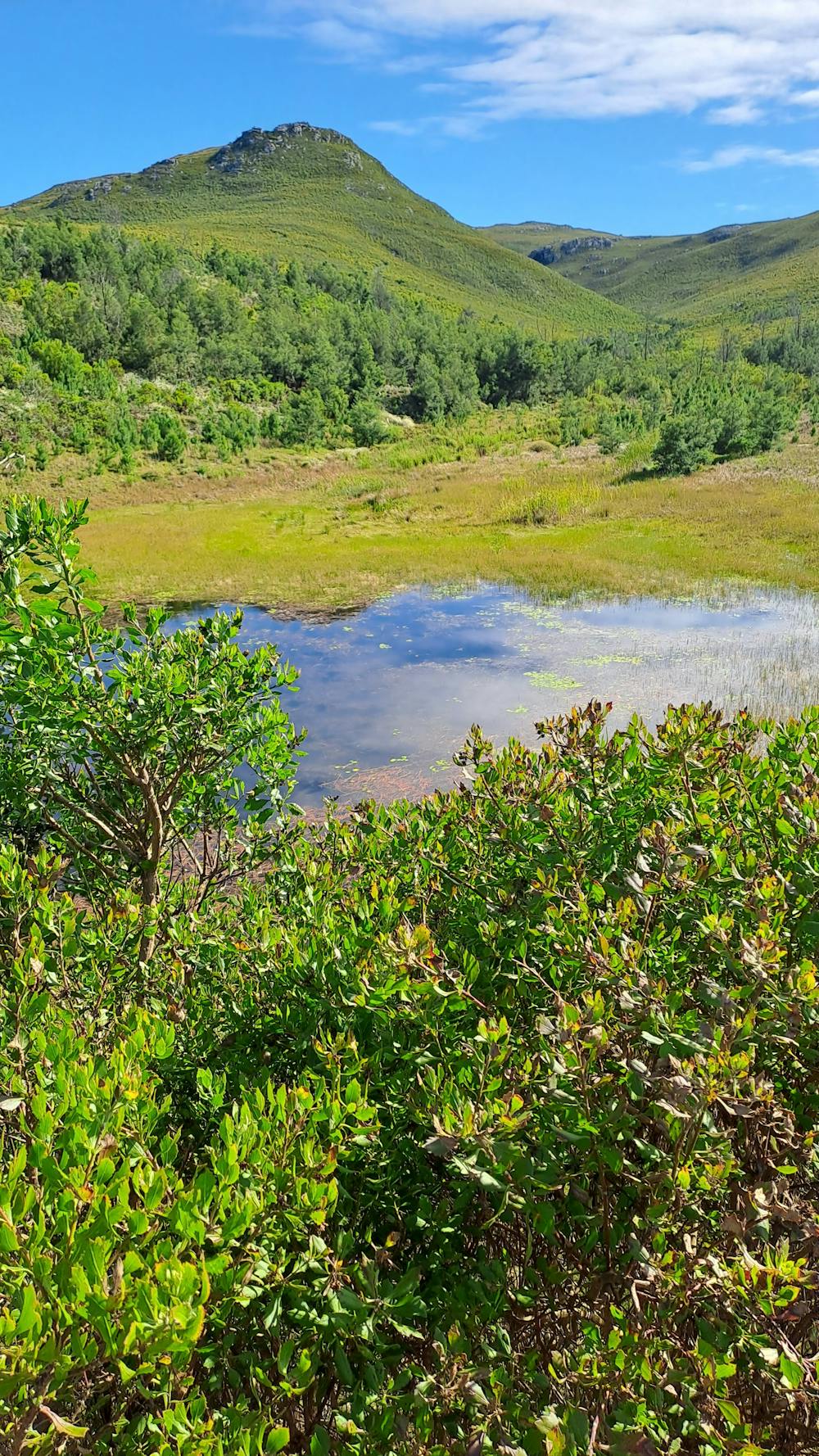
This is a popular hiking route which is generally considered to be moderate. It's not remote, it features low exposure and is typically done between March and December. From a low point of 233 m to the maximum altitude of 518 m, the route covers 16 km, 459 vertical metres of ascent and 458 vertical metres of descent.
- •
- •
Description
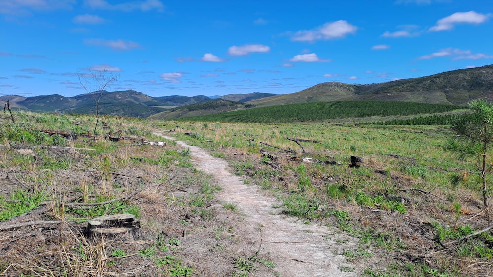
A nice day hike in the this area. Just watch out for all the bikers
Difficulty
Moderate
Hiking along trails with some uneven terrain and small hills. Small rocks and roots may be present.
Low Exposure

The path is on completely flat land and potential injury is limited to falling over.
Remoteness
Close to help in case of emergency.
Best time to visit
Features
- Picturesque
- Wild flowers
- Family friendly