Oorlogskloof - Rock Pigeon Hike - Day 1
The start of the 5 day Trail
Hiking Easy
- Distance
- 4.4 km
- Ascent
- 94 m
- Descent
- 231 m
- Duration
- 1-2 hrs
- Low Point
- 590 m
- High Point
- 738 m
- Gradient
- 11˚

This is a popular hiking route which is generally considered to be easy. It's remote, it features medium exposure and is typically done between July and October. From a low point of 590 m to the maximum altitude of 738 m, the route covers 4.4 km, 94 vertical metres of ascent and 231 vertical metres of descent.
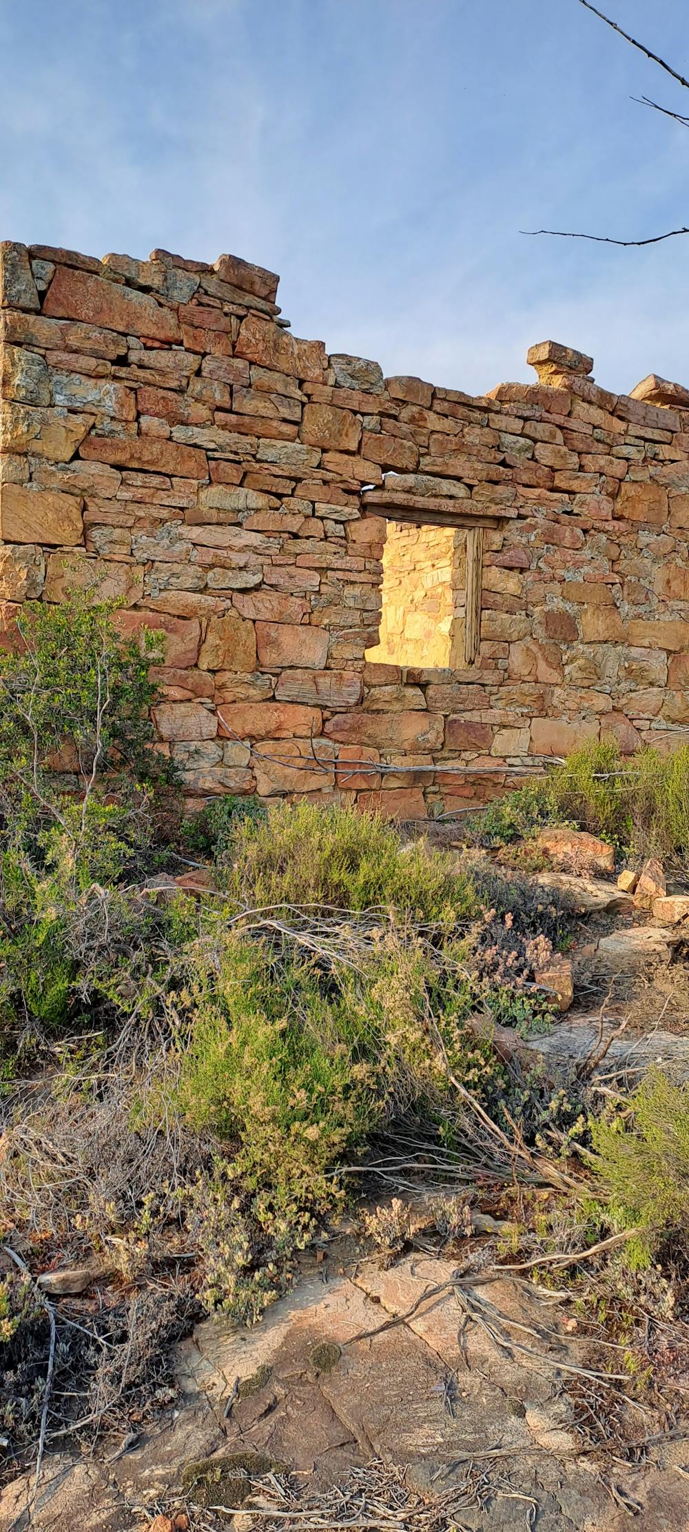
Description
A short hike for day 1 of the trail
Difficulty
Easy
Walking along a well-kept trail that’s mostly flat. No obstacles are present.
Medium Exposure

The trail contains some obstacles such as outcroppings and rock which could cause injury.
Remoteness
Away from help but easily accessed.
Best time to visit
Features
- Wildlife
- Picturesque
- Wild flowers