Oorlogskloof - Rock Pigeon Hike - Day 5
The last part of the hike , part shared with Day 1
Hiking Moderate
- Distance
- 10 km
- Ascent
- 307 m
- Descent
- 266 m
- Duration
- 2-3 hrs
- Low Point
- 666 m
- High Point
- 816 m
- Gradient
- 6˚
This is a popular hiking route which is generally considered to be moderate. It's remote, it features medium exposure and is typically done between July and October. From a low point of 666 m to the maximum altitude of 816 m, the route covers 10 km, 307 vertical metres of ascent and 266 vertical metres of descent.
- •
- •
- •
- •
Description
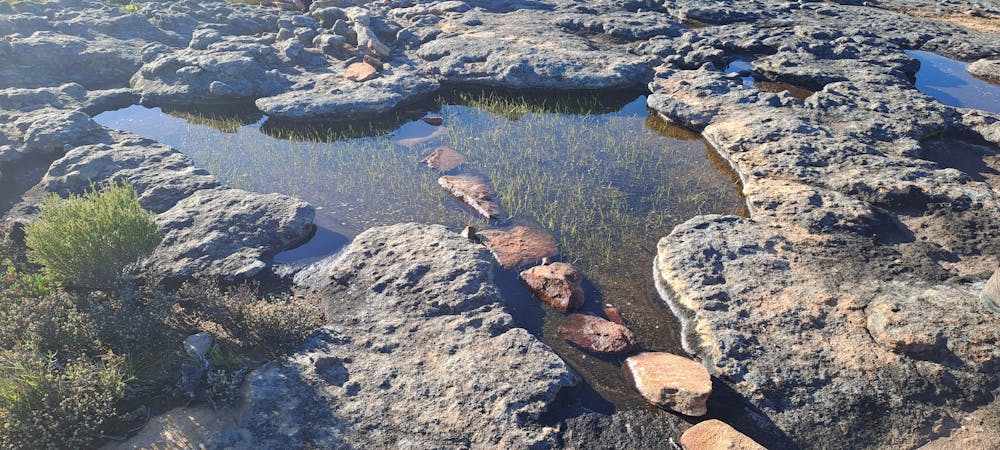
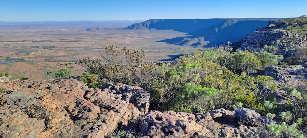
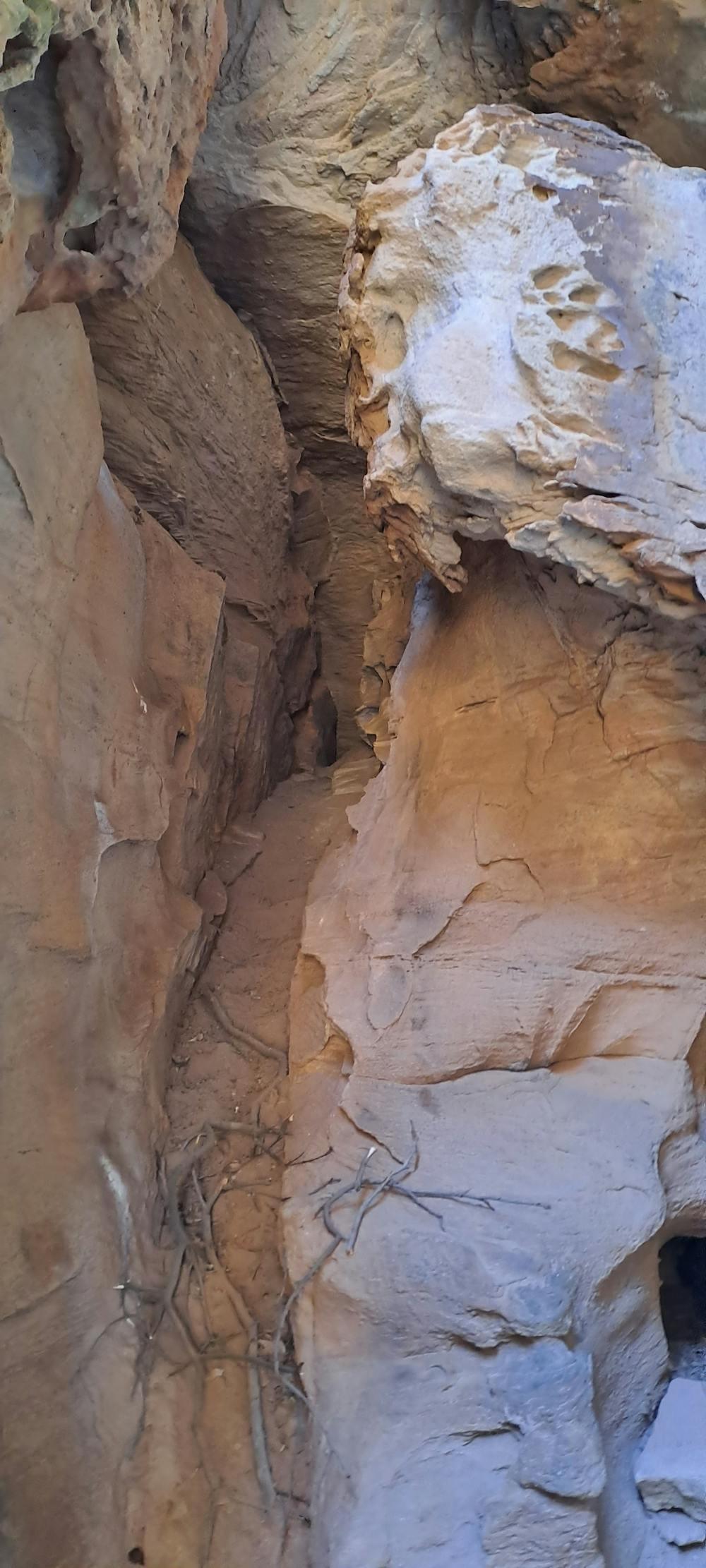
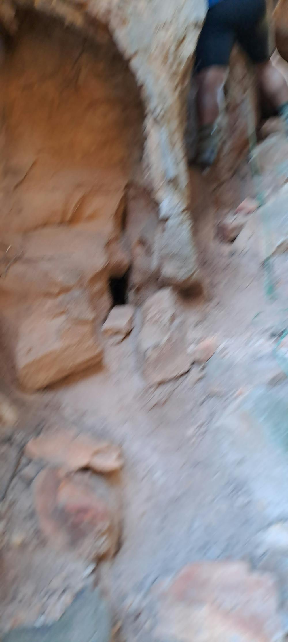
Again beautiful views , Climbing through arches and cavities to complete the trail
Difficulty
Moderate
Hiking along trails with some uneven terrain and small hills. Small rocks and roots may be present.
Medium Exposure

The trail contains some obstacles such as outcroppings and rock which could cause injury.
Remoteness
Away from help but easily accessed.
Best time to visit
Features
- Wildlife
- Historical
- Summit Hike
- Wild flowers
- Water features