Oorlogskloof - Rock Pigeon Hike - Day4
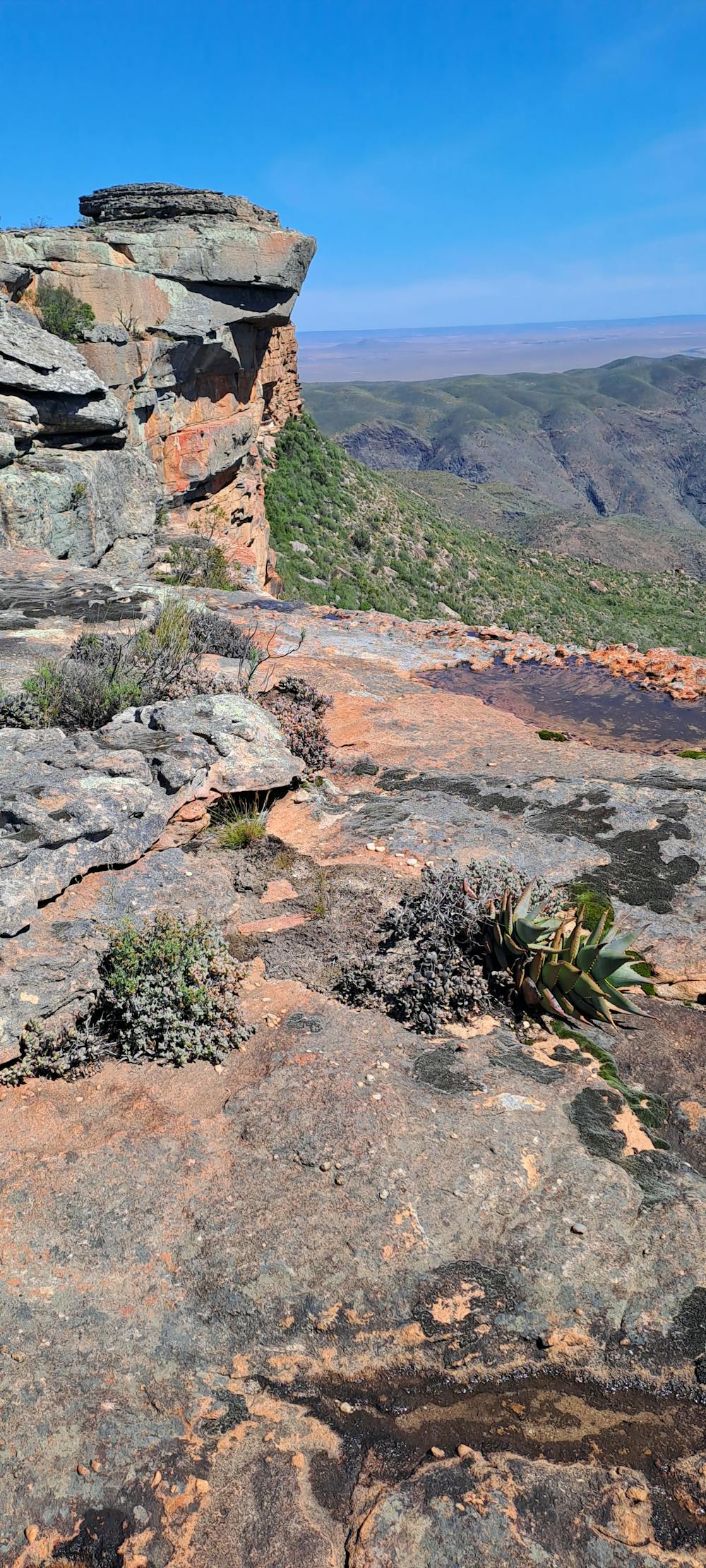
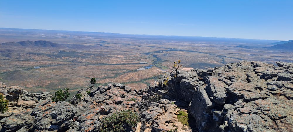
Highest Part of Trail , Stunning Views
Hiking Difficult
- Distance
- 17 km
- Ascent
- 453 m
- Descent
- 452 m
- Duration
- 4-5 hrs
- Low Point
- 683 m
- High Point
- 905 m
- Gradient
- 9˚

This is a popular hiking route which is generally considered to be difficult. It's remote, it features high exposure and is typically done between July and October. From a low point of 683 m to the maximum altitude of 905 m, the route covers 17 km, 453 vertical metres of ascent and 452 vertical metres of descent.
- •
- •
- •
Description
From Arrie se Punt you can see Northern and Western Cape
Difficulty
Difficult
Hiking trails where obstacles such as rocks or roots are prevalent. Some obstacles can require care to step over or around. At times, the trail can be worn and eroded. The grade of the trail is generally quite steep, and can often lead to strenuous hiking.
High Exposure

Some trail sections have exposed ledges or steep ascents/descents where falling could cause serious injury.
Remoteness

Away from help but easily accessed.
Best time to visit
Features
- Historical
- Picturesque
- Summit Hike
- Wild flowers
- Forestry or heavy vegetation