Cederberg Traverse 60km 2022
Cederberg Traverse Trail Running Event
Trail Running Difficult
- Distance
- 61 km
- Ascent
- 2.9 km
- Descent
- 2.5 km
- Duration
- 1 day +
- Low Point
- 516 m
- High Point
- 1.6 km
- Gradient
- 19˚
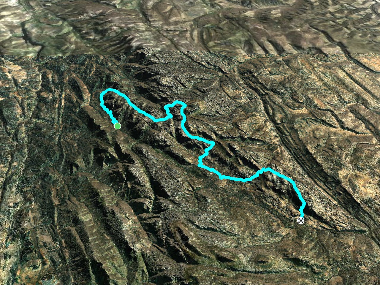
This is a popular trail running route which is generally considered to be difficult. It's very remote, it features low exposure and is typically done in undefined. From a low point of 516 m to the maximum altitude of 1.6 km, the route covers 61 km, 2874 vertical metres of ascent and 2549 vertical metres of descent.
Description
Cederberg Traverse 60km 2022
Difficulty
Difficult
Low Exposure

The path is on completely flat land and potential injury is limited to falling over.
Remoteness

Little chance of being seen or helped in case of an accident.