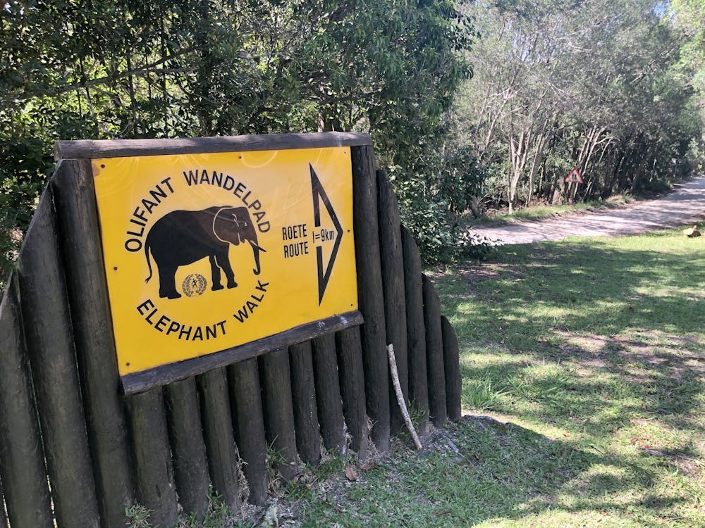
Elephant Trail - Black Route
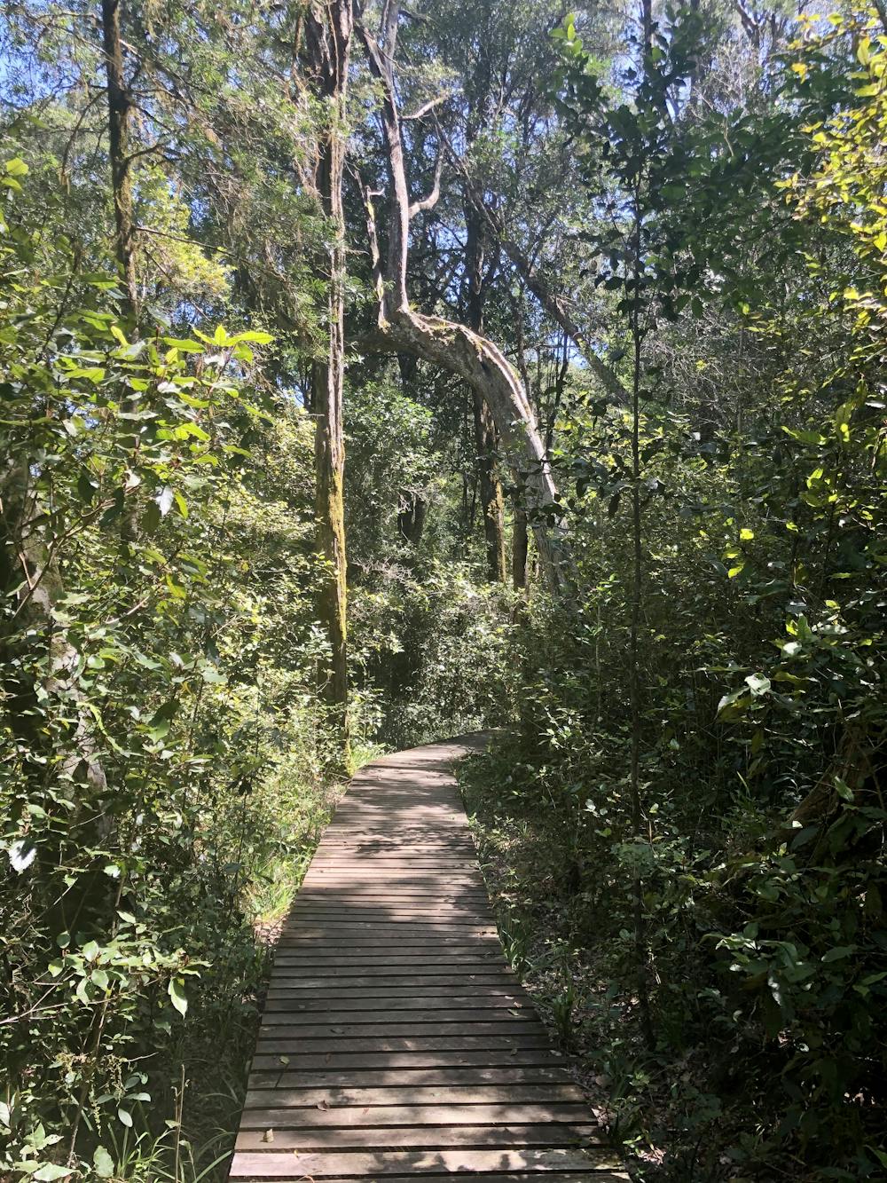
Black Elephant Trail is a 9.3 kilometer moderately trafficked loop trail located near Knysna NU, Western Cape, South Africa that features beautiful wild flowers and is rated as moderate. The trail is primarily used for hiking, walking and trailrunning
Trail Running Moderate
- Distance
- 9.4 km
- Ascent
- 332 m
- Descent
- 332 m
- Duration
- 1-2 hrs
- Low Point
- 341 m
- High Point
- 520 m
- Gradient
- 8˚

The Black Elephant Trail pass through both the Ysterhoutrug and King Edward VII picnic sites.
- •
- •
- •
- •
- •
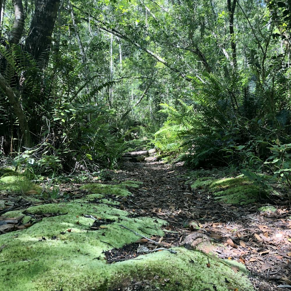
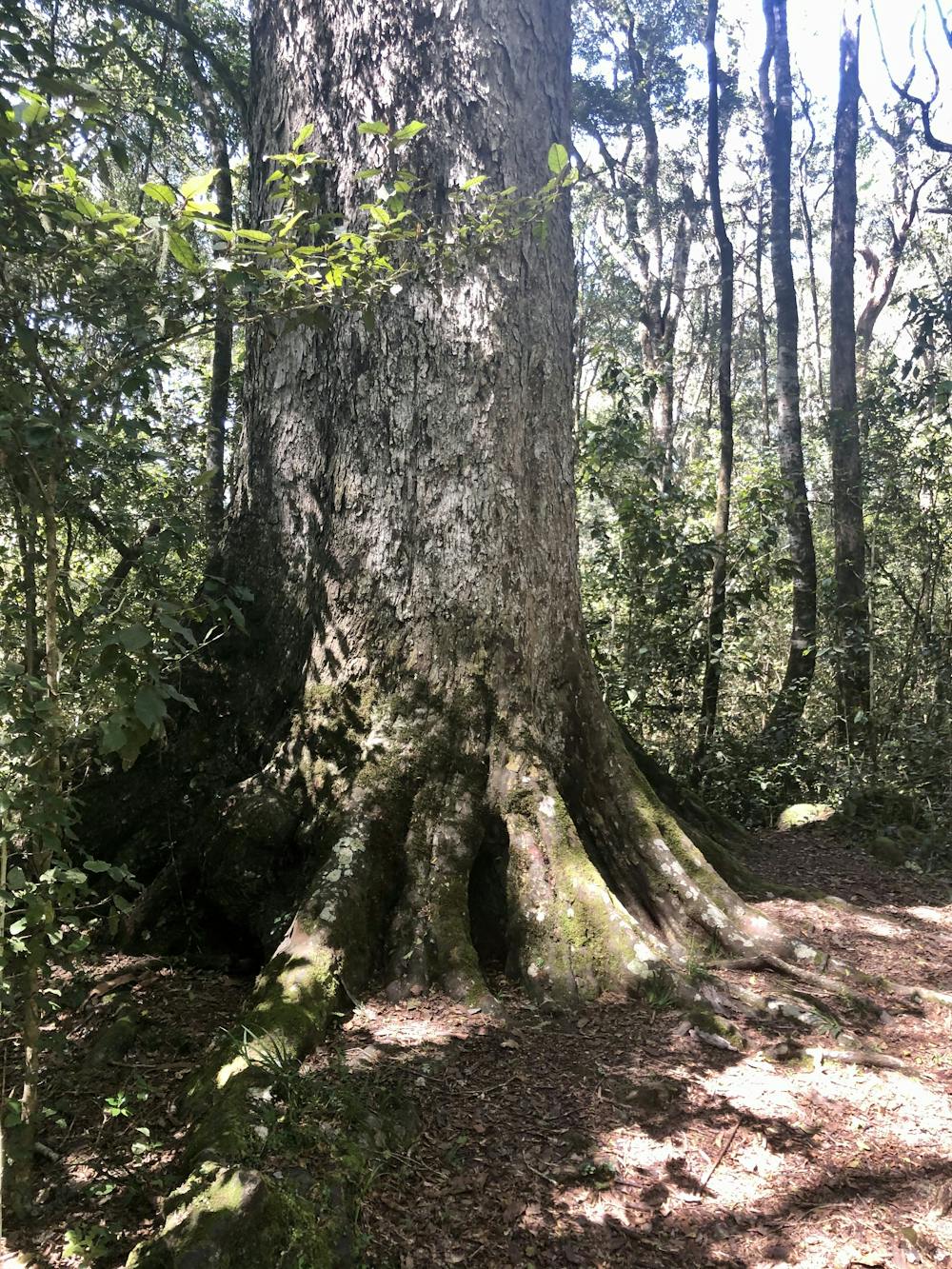
Description
The water in the streams is drinkable, the dark colour is due to the tannins and humic acids from the leaves on the forest floor.
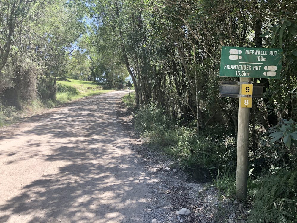
Permits & Cost: Permits are obtainable from the Diepwalle Forestry Station. When the offices are closed issue yourself a self issue permit from the wooden box under the tree in front of the offices. Free for Wild Card members.
Contact numbers: Diepwalle Forestry Station - 044 382 9762/3
Difficulty
Moderate
Medium Exposure

The trail contains some obstacles such as outcroppings and rock which could cause injury.
Remoteness

Little chance of being seen or helped in case of an accident.