Helderberg Mountain Challenge #2
2nd leg of a 3 Series Mountain Trail Challenge
Trail Running Severe
- Distance
- 25 km
- Ascent
- 2.2 km
- Descent
- 2.2 km
- Duration
- 5-6 hrs
- Low Point
- 121 m
- High Point
- 1.1 km
- Gradient
- 20˚

This is a popular trail running route which is generally considered to be severe. It's very remote, it features high exposure and is typically done between August and May. From a low point of 121 m to the maximum altitude of 1.1 km, the route covers 25 km, 2191 vertical metres of ascent and 2192 vertical metres of descent.
- •
- •
- •
Description
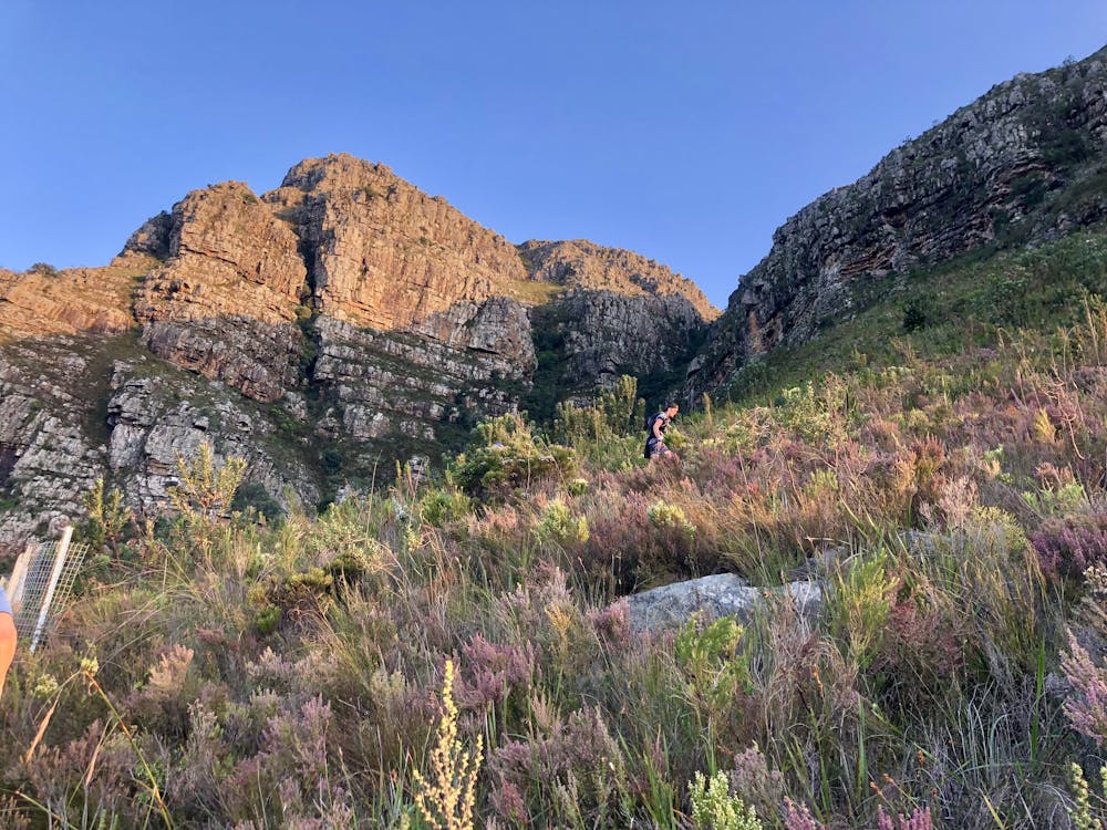
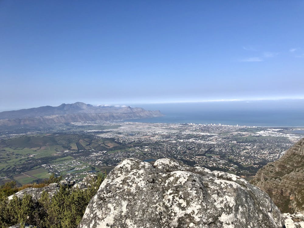
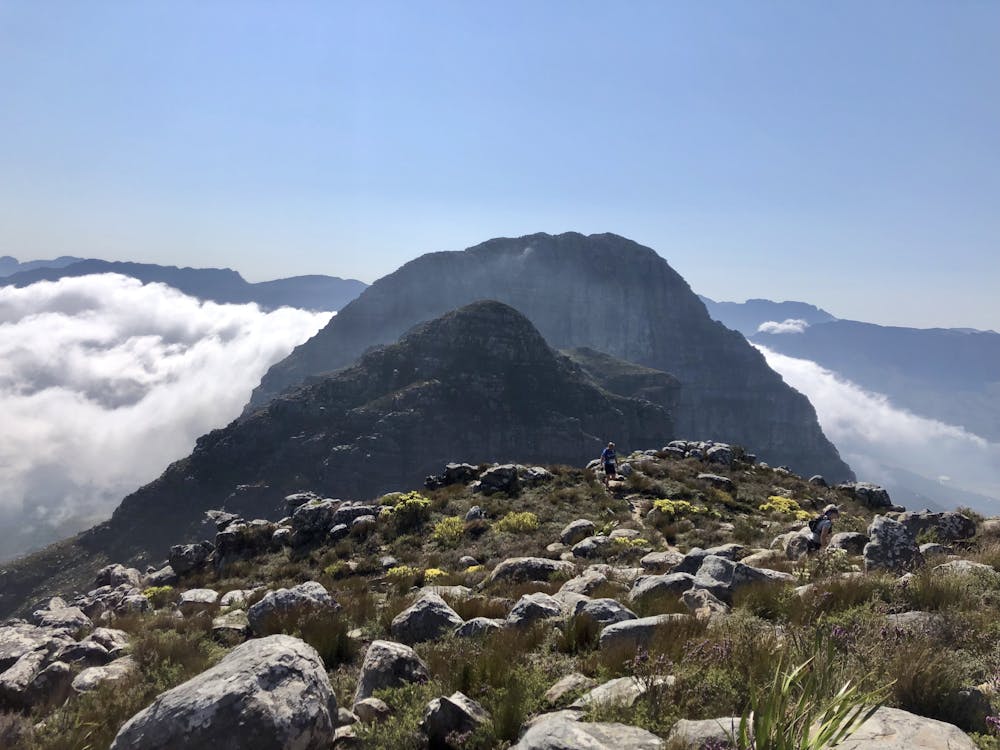
25 km double loop around West Peak (1003m) and then up to Helderberg Dome (1137m). Total elevation is 2190m. This route is in the Helderberg Nature Reserve and close to Cape Town, South Africa.
Difficulty
Severe
High Exposure

Some trail sections have exposed ledges or steep ascents/descents where falling could cause serious injury.
Remoteness
Little chance of being seen or helped in case of an accident.