Jonkershoek Mountain Challenge #1
1st leg of a 3 Series Mountain Trail Challenge
Trail Running Severe
- Distance
- 39 km
- Ascent
- 1.9 km
- Descent
- 1.9 km
- Duration
- 7-8 hrs
- Low Point
- 219 m
- High Point
- 1.3 km
- Gradient
- 16˚

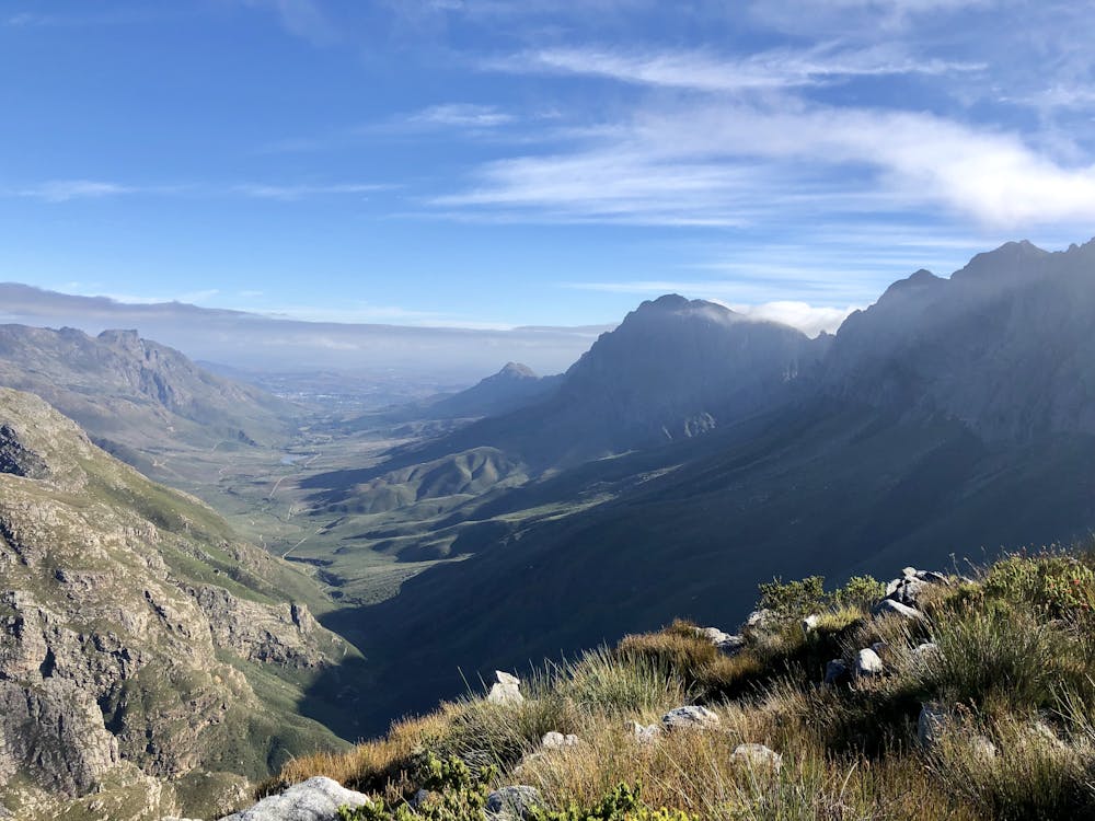
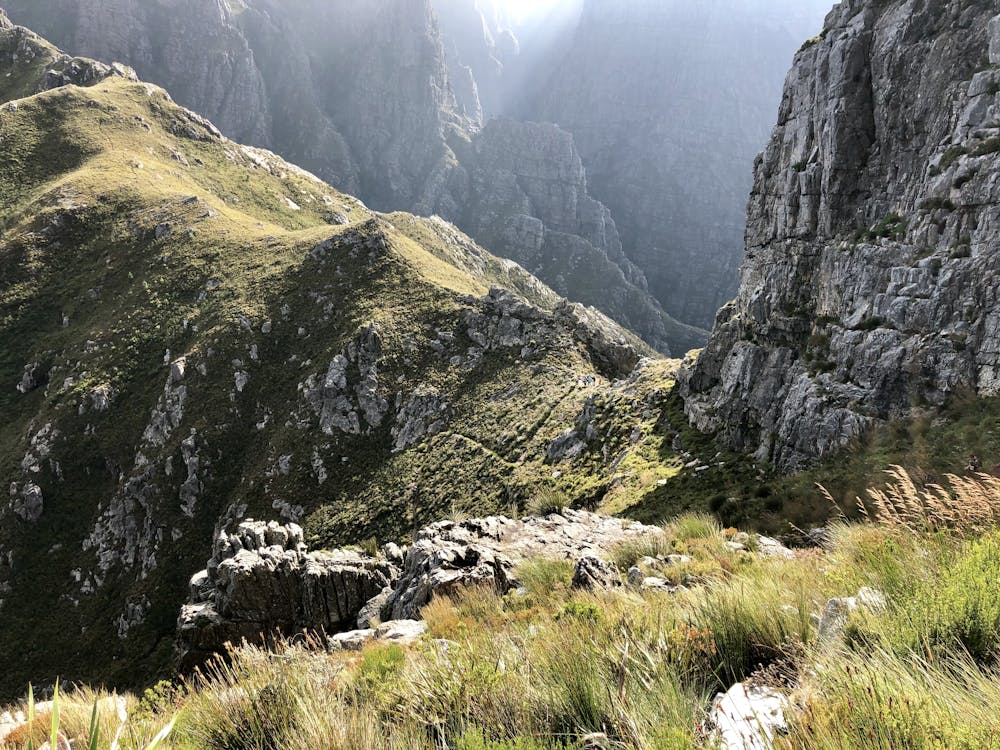
This is a popular trail running route which is generally considered to be severe. It's very remote, it features high exposure and is typically done all year round. From a low point of 219 m to the maximum altitude of 1.3 km, the route covers 39 km, 1920 vertical metres of ascent and 1921 vertical metres of descent.
- •
- •
Description
39 km loop with 1920m elevation on very technical terrain. It is set in the beautiful mountain range of Jonkershoek Nature Reserve close to Cape Town, South Africa.
Difficulty
Severe
High Exposure

Some trail sections have exposed ledges or steep ascents/descents where falling could cause serious injury.
Remoteness
Little chance of being seen or helped in case of an accident.