Kleinberg trail
Kleinberg trail from McGregor town
Trail Running Moderate
- Distance
- 9.1 km
- Ascent
- 273 m
- Descent
- 275 m
- Duration
- 1-2 hrs
- Low Point
- 210 m
- High Point
- 404 m
- Gradient
- 6˚

This is a popular trail running route which is generally considered to be moderate. It's not remote, it features medium exposure and is typically done all year round. From a low point of 210 m to the maximum altitude of 404 m, the route covers 9.1 km, 273 vertical metres of ascent and 275 vertical metres of descent.
Description
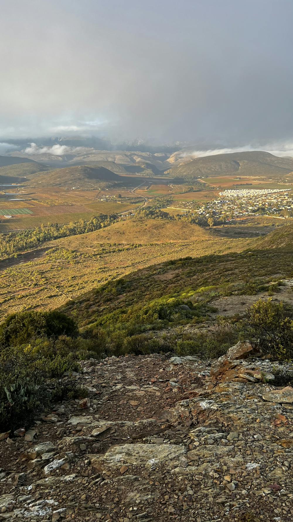
Route starts from middle of McGregor and winds itself along the foot of the hill and then goes up to the peak and stays on the ridge until the end of the hill.
Difficulty
Moderate
Medium Exposure

The trail contains some obstacles such as outcroppings and rock which could cause injury.
Remoteness

Close to help in case of emergency.