Marloth Mountain Challenge #3
3rd leg of a 3 Series Mountain Trail Challenge
Trail Running Severe
- Distance
- 36 km
- Ascent
- 1.7 km
- Descent
- 2.3 km
- Duration
- 7-8 hrs
- Low Point
- 144 m
- High Point
- 1.2 km
- Gradient
- 14˚

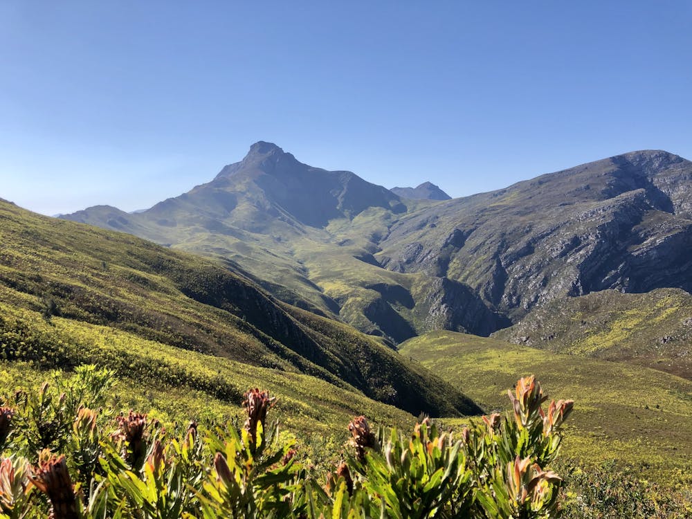
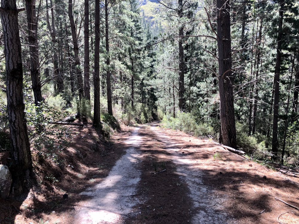
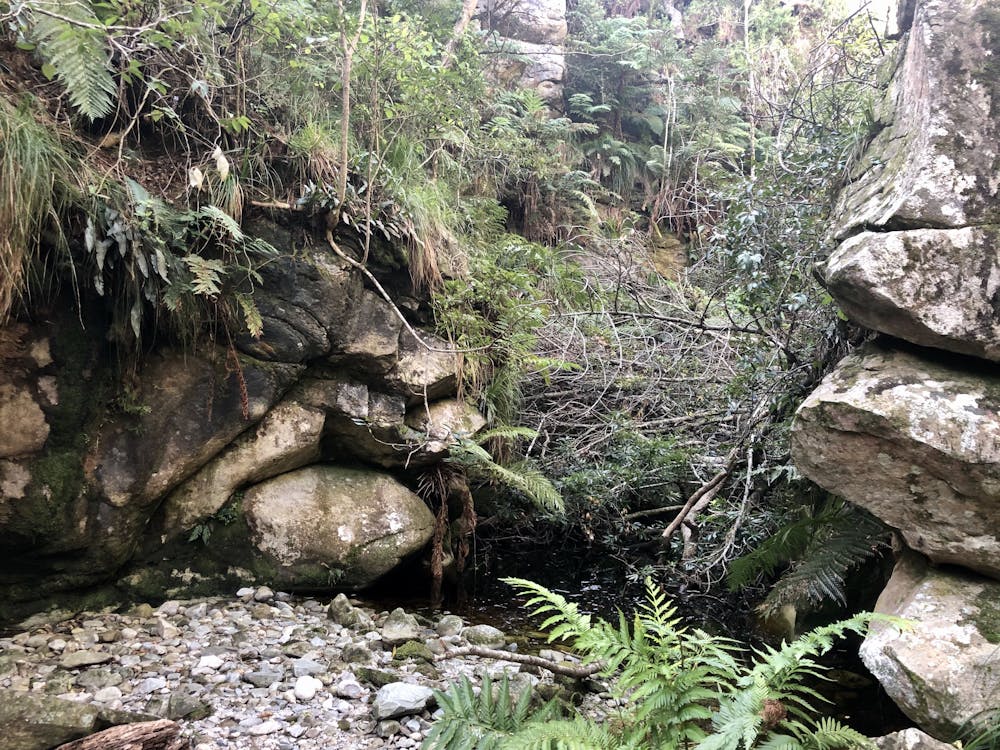
This is a popular trail running route which is generally considered to be severe. It's very remote, it features medium exposure and is typically done all year round. From a low point of 144 m to the maximum altitude of 1.2 km, the route covers 36 km, 1722 vertical metres of ascent and 2291 vertical metres of descent.
- •
- •
- •
Description
35km route with 1830m total elevation.
Difficulty
Severe
Medium Exposure

The trail contains some obstacles such as outcroppings and rock which could cause injury.
Remoteness

Little chance of being seen or helped in case of an accident.