Sungazer & ThunderBird 10km Loop
10k Loop starting at Arbour Road
Trail Running Moderate
- Distance
- 9.8 km
- Ascent
- 496 m
- Descent
- 496 m
- Duration
- 1-2 hrs
- Low Point
- 259 m
- High Point
- 625 m
- Gradient
- 13˚

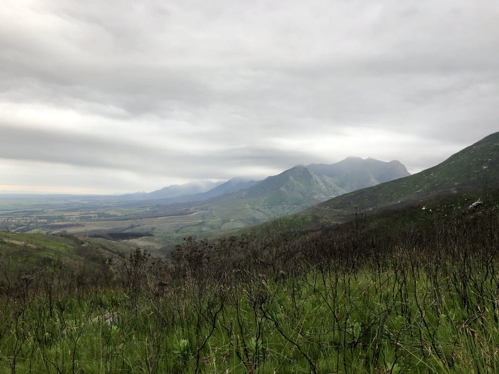
This is a popular trail running route which is generally considered to be moderate. It's remote, it features medium exposure and is typically done in March, April, May, June, August, September, October and November. From a low point of 259 m to the maximum altitude of 625 m, the route covers 9.8 km, 496 vertical metres of ascent and 496 vertical metres of descent.

- •
- •
- •
Description
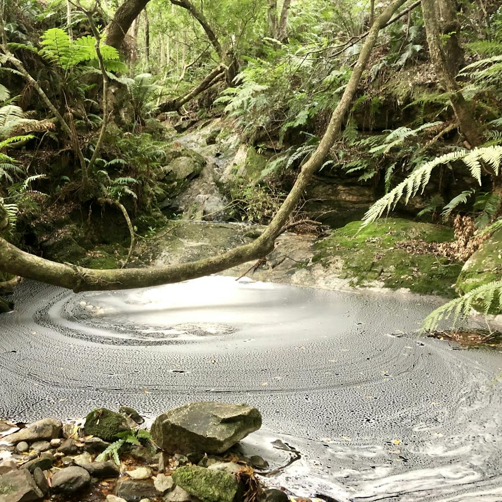
Opened and maintained by GTR Club, the trail boasts a challenging climb to Sungazer, then up to the town cross and down Thunderbird. The trail ends off with an easy downhill back to Arbour Road.
Difficulty
Moderate
Medium Exposure

The trail contains some obstacles such as outcroppings and rock which could cause injury.
Remoteness
Away from help but easily accessed.