Vensterberg Peak - 1309m
5 km (580m elevation gain) out-and-back route taking you to Vensterberg peak
Trail Running Difficult
- Distance
- 4.8 km
- Ascent
- 514 m
- Descent
- 513 m
- Duration
- 1-2 hrs
- Low Point
- 781 m
- High Point
- 1.3 km
- Gradient
- 17˚

This is a popular trail running route which is generally considered to be difficult. It's very remote, it features high exposure and is typically done in January, March, April, May, June, August, September, October, November and December. From a low point of 781 m to the maximum altitude of 1.3 km, the route covers 4.8 km, 514 vertical metres of ascent and 513 vertical metres of descent.
- •
- •
- •
- •
- •
Description
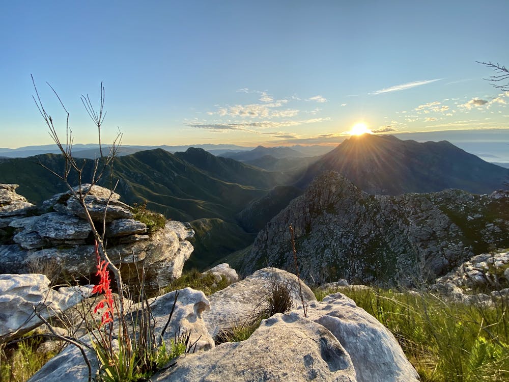
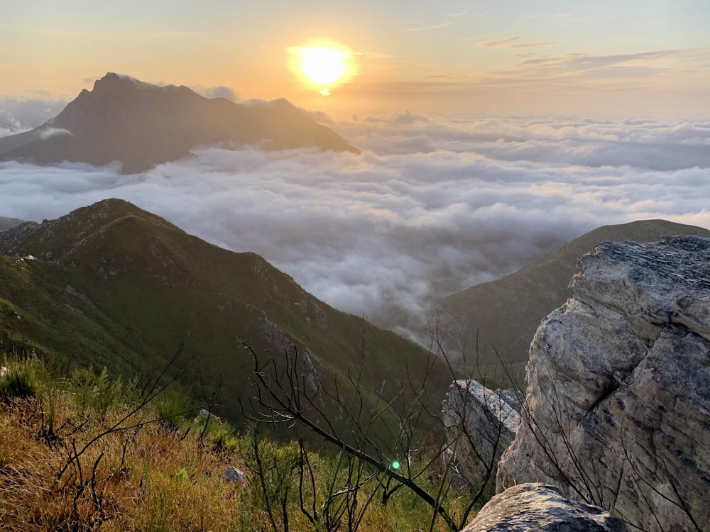
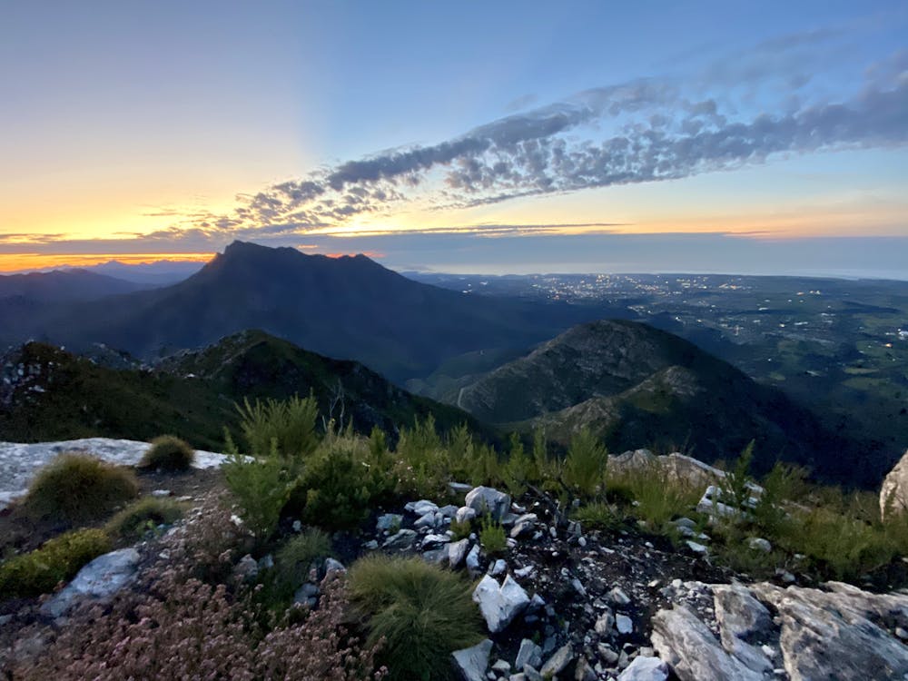
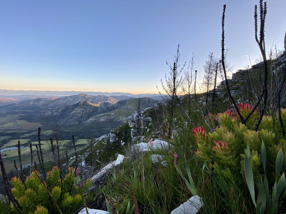
At the highest point of Outeniqua Pass there is a hidden turn into a tower service road. You can park here and start your hike. Very scenic trail with beautiful views of Waboomkraal and the whole of George. Best to summit on sunrise - it will be unforgettable.
Difficulty
Difficult
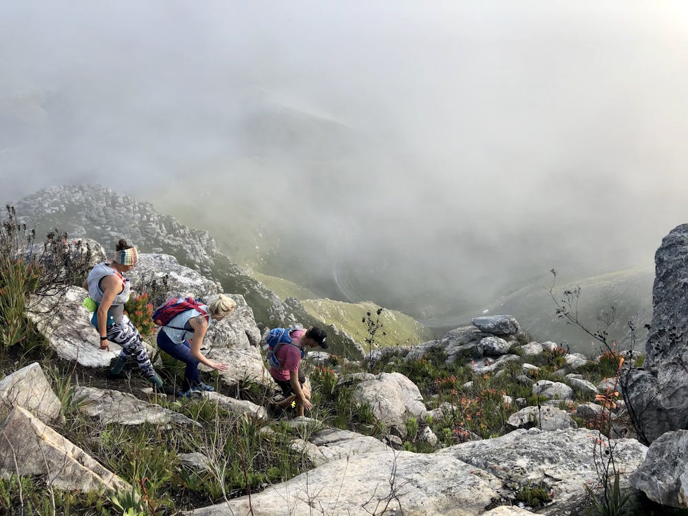
High Exposure

Some trail sections have exposed ledges or steep ascents/descents where falling could cause serious injury.
Remoteness
Little chance of being seen or helped in case of an accident.