Geumdaebong Peak to Wind farm Moebongsan
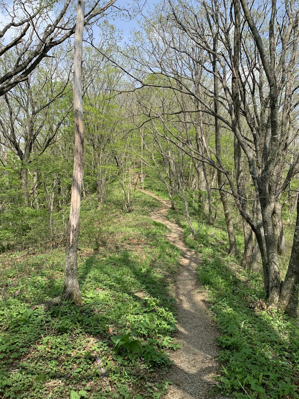
Nice trail on the top edge of the hills
Hiking Moderate
- Distance
- 12 km
- Ascent
- 783 m
- Descent
- 782 m
- Duration
- 3-4 hrs
- Low Point
- 1.1 km
- High Point
- 1.4 km
- Gradient
- 12˚

This is a popular hiking route which is generally considered to be moderate. It's not remote, it features medium exposure and is typically done between April and September. From a low point of 1.1 km to the maximum altitude of 1.4 km, the route covers 12 km, 783 vertical metres of ascent and 782 vertical metres of descent.
- •
- •
Description
Relaxing trail on top of the hills that bring us to the Maebangsan Wind farm.
Difficulty
Moderate
Hiking along trails with some uneven terrain and small hills. Small rocks and roots may be present.
Medium Exposure

The trail contains some obstacles such as outcroppings and rock which could cause injury.
Remoteness

Close to help in case of emergency.
Best time to visit
Features
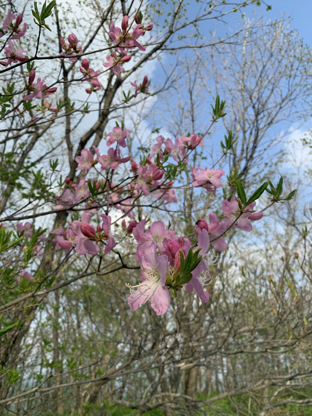
- Wildlife
- Picturesque
- Summit Hike
- Wild flowers
- Family friendly
- Forestry or heavy vegetation