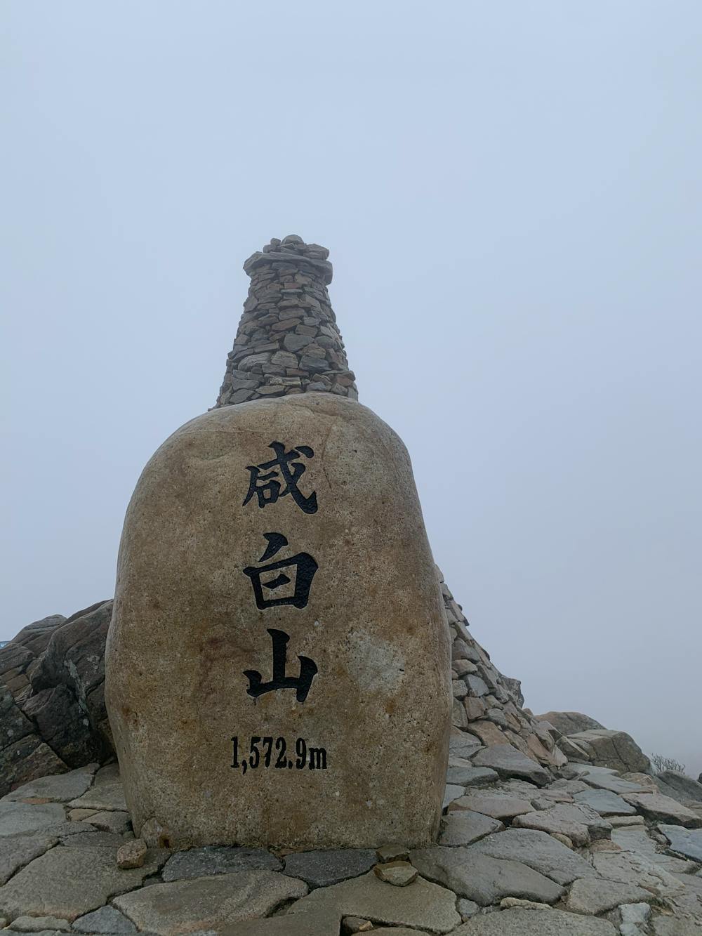
Hambaeksan 1572 short
The all white mountain
Hiking Difficult
- Distance
- 12 km
- Ascent
- 812 m
- Descent
- 811 m
- Duration
- 3-4 hrs
- Low Point
- 939 m
- High Point
- 1.5 km
- Gradient
- 18˚

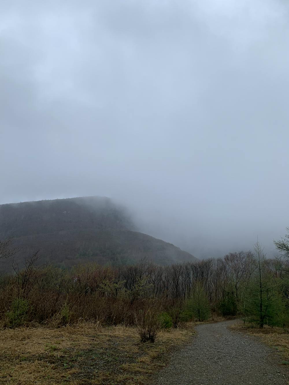
This is a popular hiking route which is generally considered to be difficult. It's not remote, it features low exposure and is typically done between May and September. From a low point of 939 m to the maximum altitude of 1.5 km, the route covers 12 km, 812 vertical metres of ascent and 811 vertical metres of descent.
- •
- •
- •
- •
- •
Description
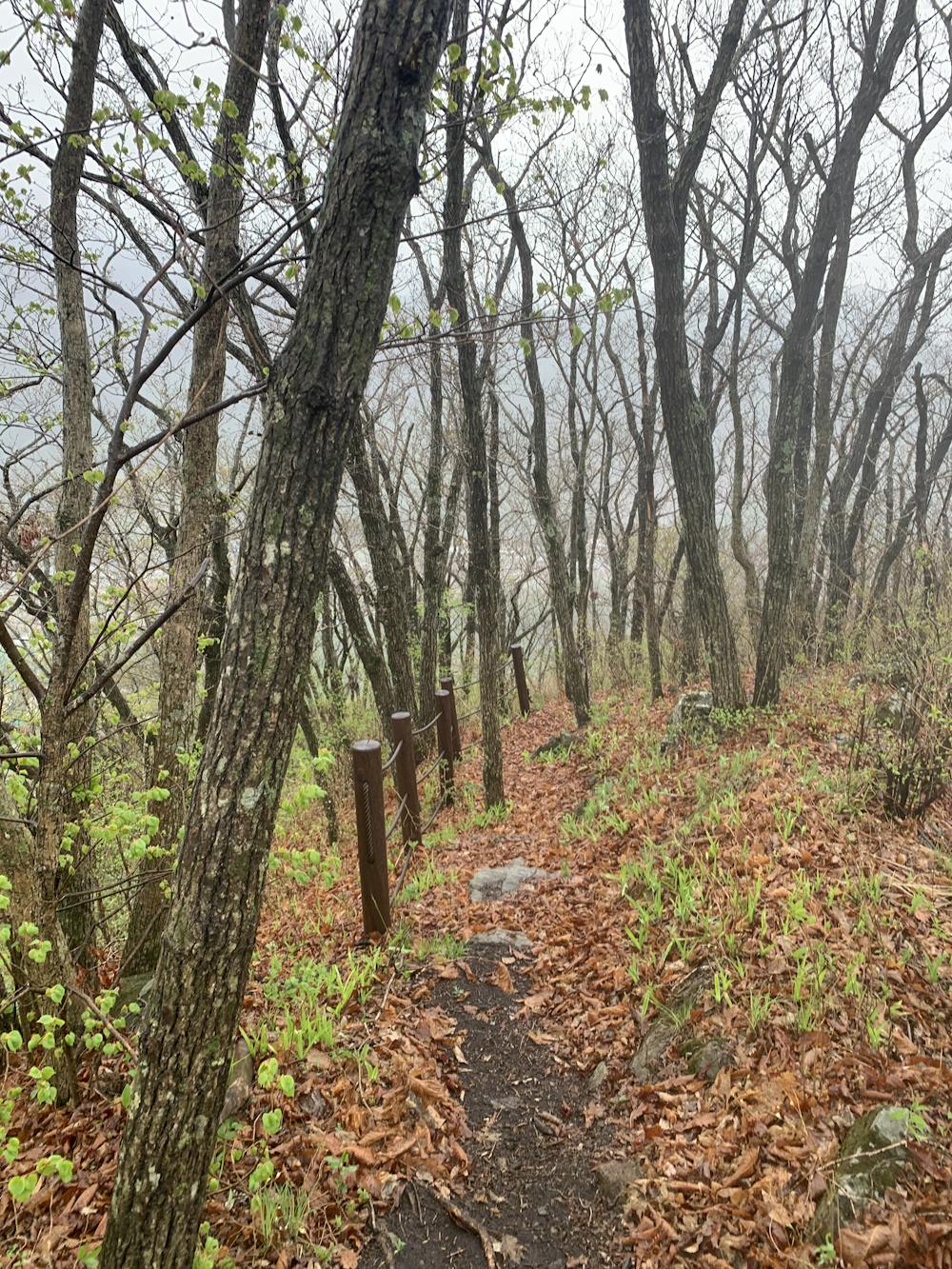
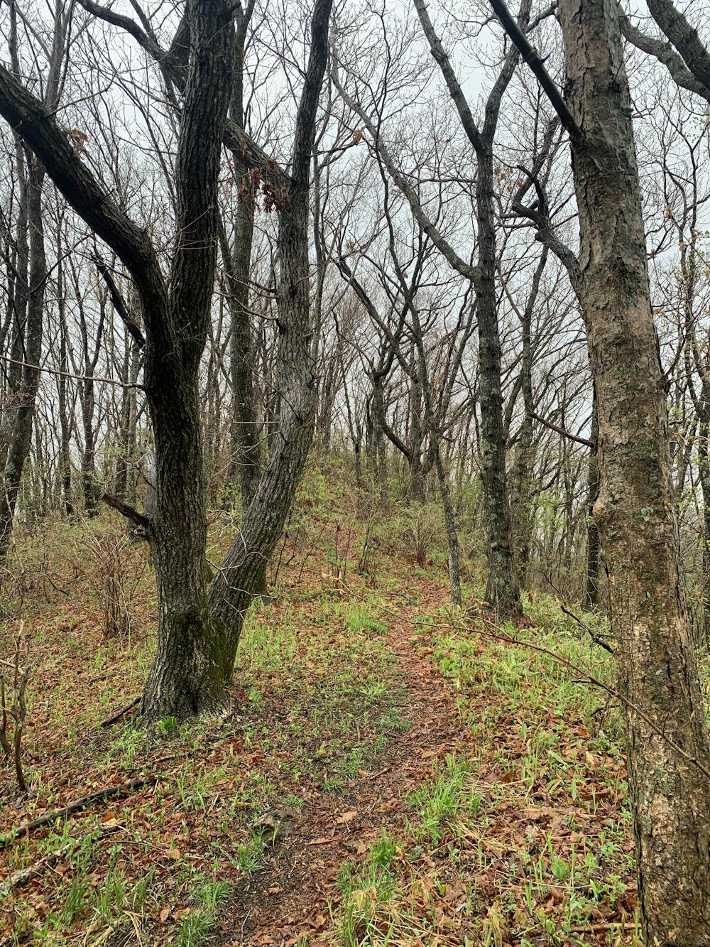
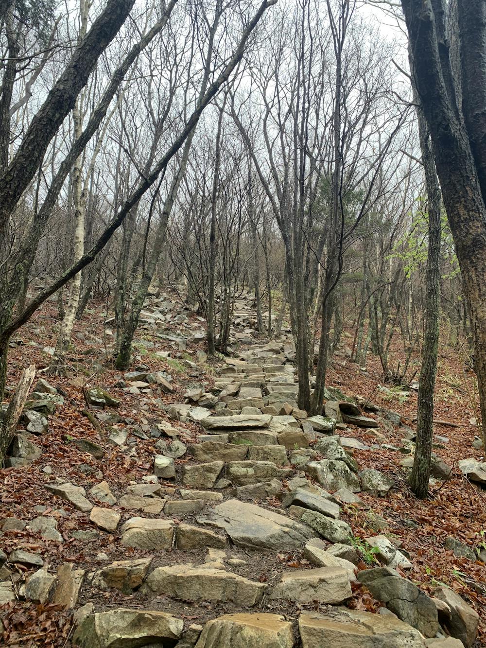
Start on a climbing challenge trail pretty difficult, then the trail became relaxing. I saw many wild animal, rabbits, deers and squirrels. The path is well marked and pretty well maintain. The first kilometre are in a single trail that could be slippery when it is raining.
Difficulty
Difficult
Hiking trails where obstacles such as rocks or roots are prevalent. Some obstacles can require care to step over or around. At times, the trail can be worn and eroded. The grade of the trail is generally quite steep, and can often lead to strenuous hiking.
Low Exposure

The path is on completely flat land and potential injury is limited to falling over.
Remoteness
Close to help in case of emergency.
Best time to visit
Features
- Wildlife
- Picturesque
- Summit Hike
- Wild flowers
- Forestry or heavy vegetation