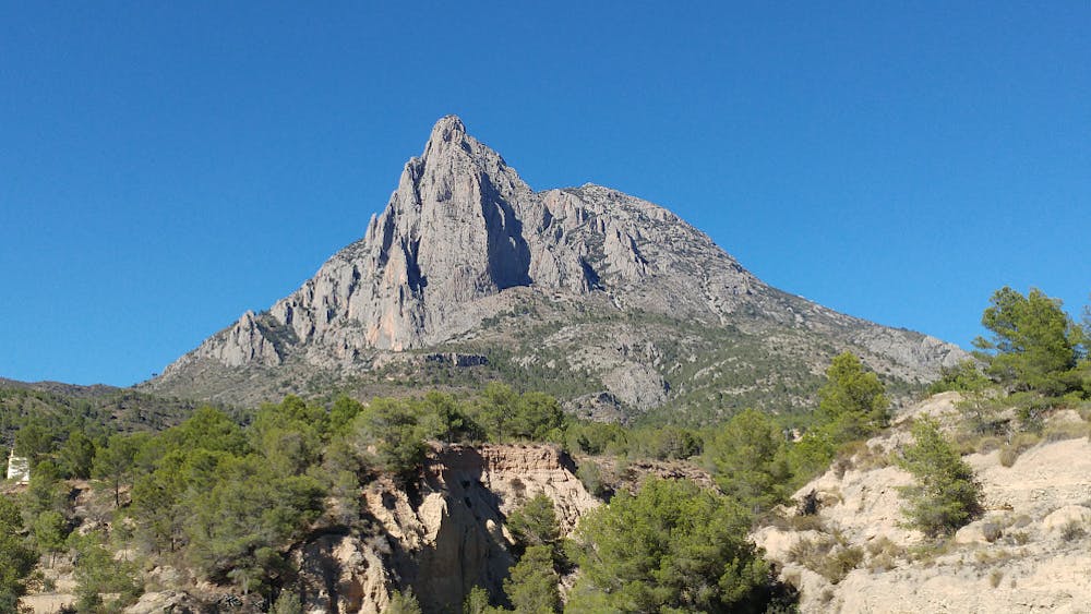
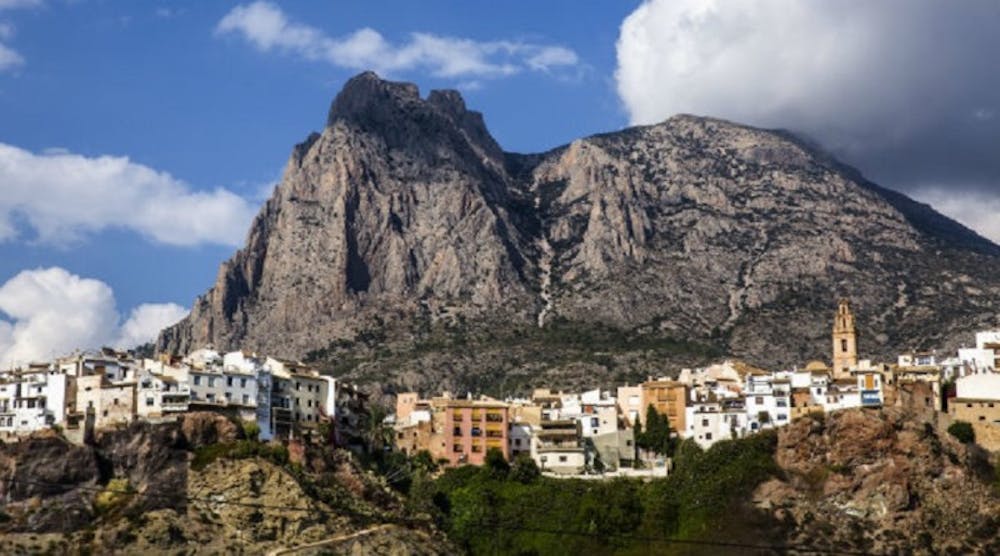
Puig Campona, 1408m
Steep hike with amazing panorama
Hiking Severe
- Distance
- 8.7 km
- Ascent
- 1.1 km
- Descent
- 1.1 km
- Duration
- 3-4 hrs
- Low Point
- 388 m
- High Point
- 1.4 km
- Gradient
- 24˚

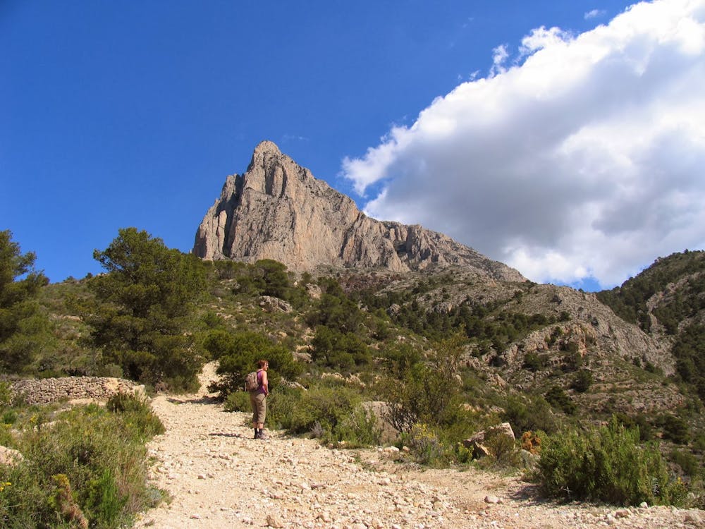
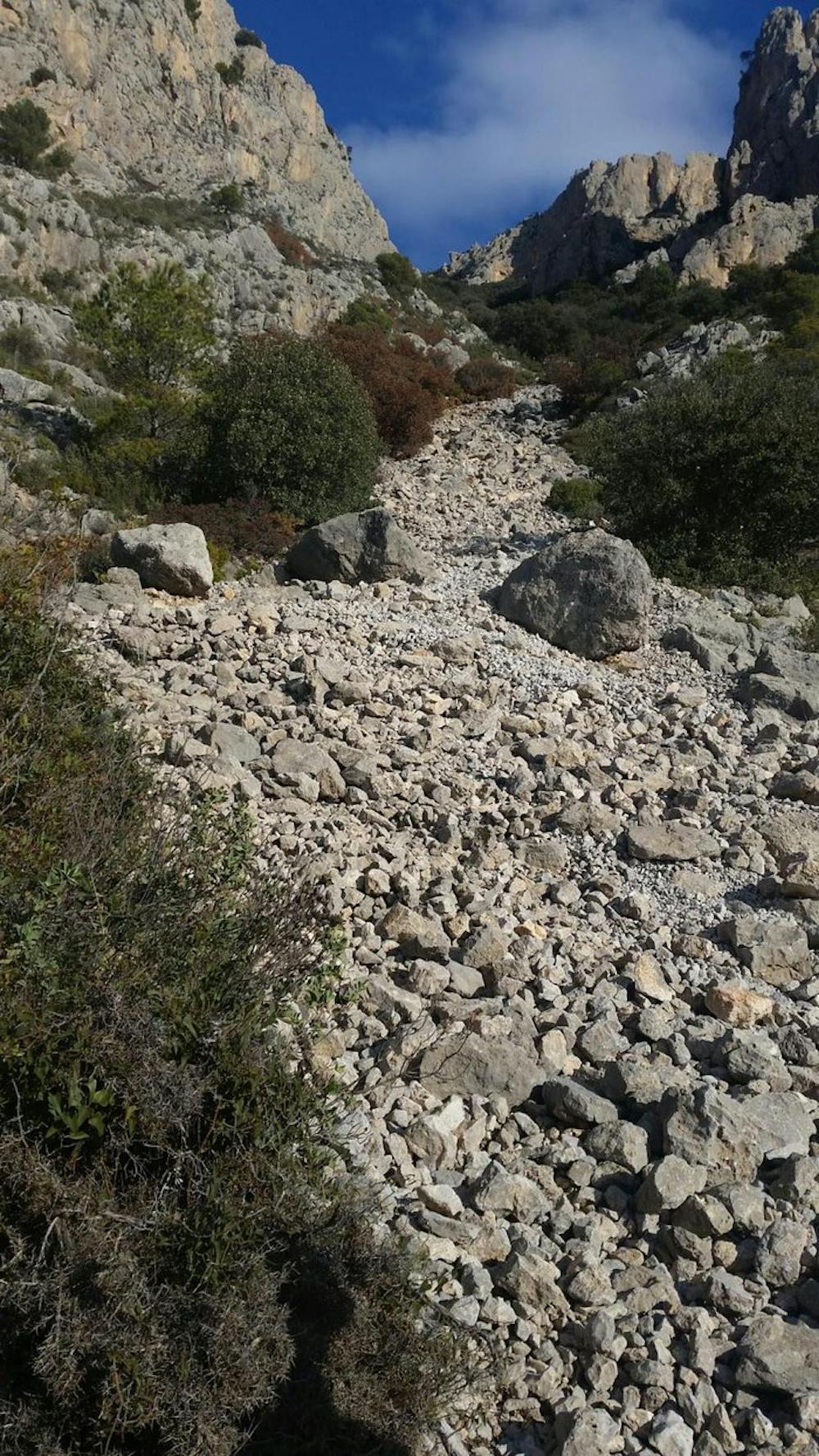
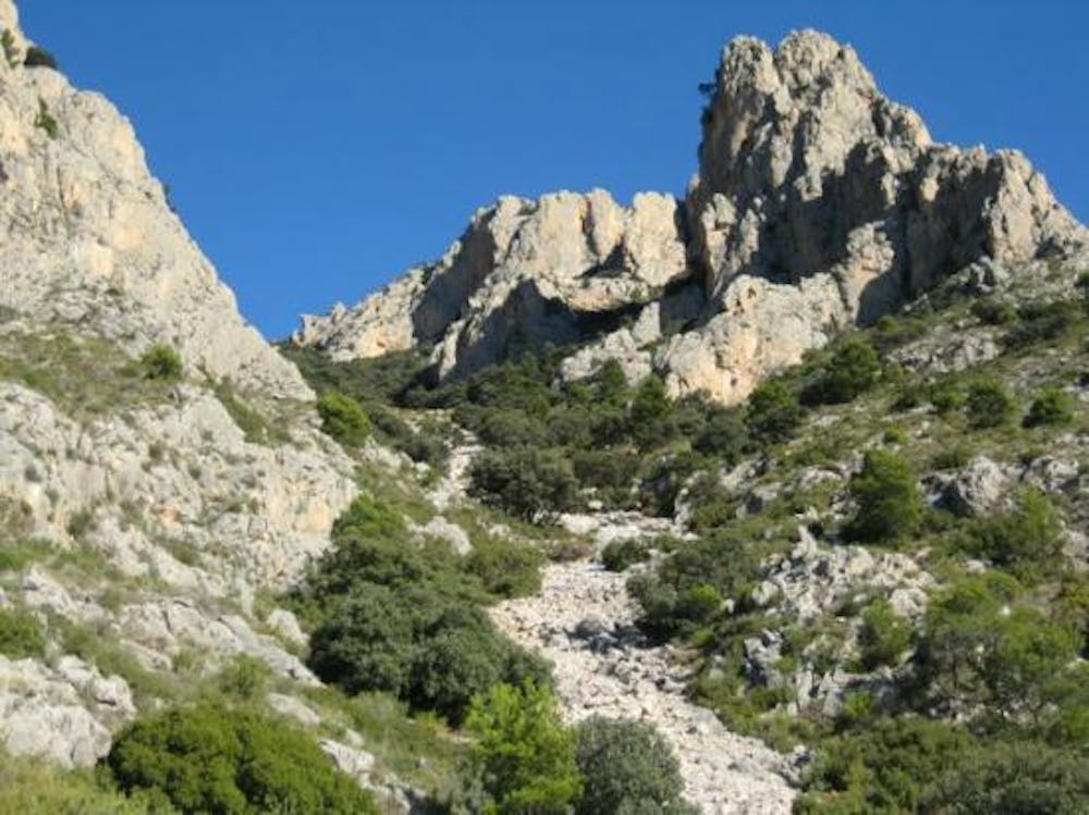
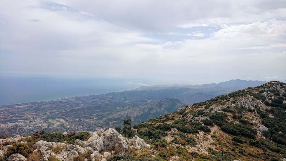
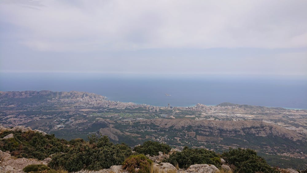
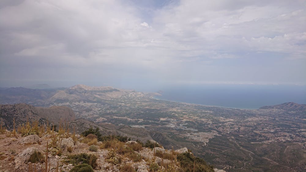
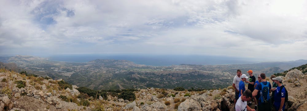
The trail head is a aproximately a kilometer above the village of Finestrat, at Font Moli. The hike in it's entireity is very steep, going up a vertical kilometer. The path is at times very unclear and the markings are poor. Halfway to the summit we follow a couloir. There is no clear path up here and there is a lot of loose rocks. On the top of the couloir, the path is once more visible. The summit gives for an amazing view on sunny days, however it can be cold and a lot of wind up there.
- •
- •
- •
- •
- •
- •
- •
- •
- •
Difficulty
Severe
Hiking challenging trails where simple scrambling, with the occasional use of the hands, is a distinct possibility. The trails are often filled with all manner of obstacles both small and large, and the hills are very steep. Obstacles and challenges are often unexpected and can be unpredictable.
High Exposure

Some trail sections have exposed ledges or steep ascents/descents where falling could cause serious injury.
Remoteness
Little chance of being seen or helped in case of an accident.
Best time to visit
Features
- Alpine
- Picturesque
- Summit Hike
- Forestry or heavy vegetation