Poncebos - Bulnes - Pandebano
Picos de Europa
A spectacular but steep climb along a narrow path to Bulnes and then a gentler, steady climb through farm land to the Pandebano Col
Hiking Moderate
- Distance
- 7.1 km
- Ascent
- 1 km
- Descent
- 44 m
- Duration
- 3-4 hrs
- Low Point
- 226 m
- High Point
- 1.2 km
- Gradient
- 16˚
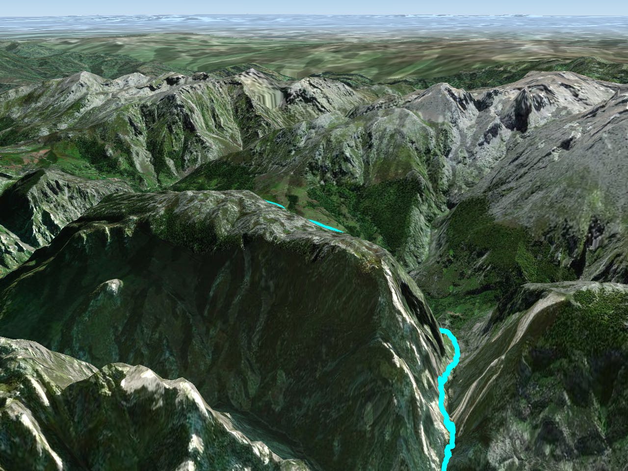
Starting at Poncebos this route follows a small stream along a narrow path climbing up to Bulnes (there are some fairly steep drops on the way.) Bulnes was the last inhabited village in Asturias without road access but its isolation has been broken by the construction of the funicular railway which brings lots of tourist in the summer. The path then winds through meadows and traditional farmland with great views of the Naranjo de Bulnes until you come to the Pandebano Col.
Difficulty
Moderate
Hiking along trails with some uneven terrain and small hills. Small rocks and roots may be present.