Almanzor
Almanzor Winter Ascent
Alpine Climbing Moderate
- Distance
- 11 km
- Ascent
- 884 m
- Descent
- 1.1 km
- Low Point
- 1.8 km
- High Point
- 2.6 km
- Gradient
- 31˚

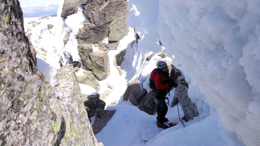
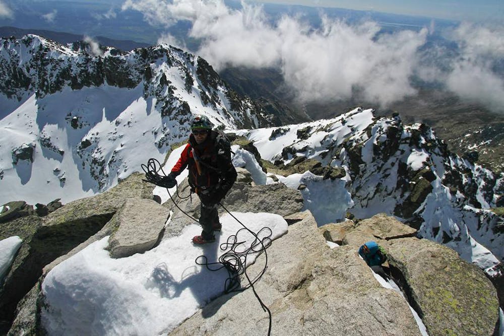
This is a popular alpine climbing route which is generally considered to be moderate. It's not remote, it features low exposure and is typically done between January and March. From a low point of 1.8 km to the maximum altitude of 2.6 km, the route covers 11 km, 884 vertical metres of ascent and 1066 vertical metres of descent. You'll need ice axe and crampons to complete it safely.
Description
The Sierra de Gredos is located in the center of the Iberian Meseta, whose highest point is the Pico Almanzor. This mountain is characterized by exceeding high mountain landscapes, forming a system of granite blocks, fractured and sculpted by the quaternary glaciers.
Difficulty
Moderate
May involve slightly more complex glacier hikes, easy but possibly long rock ridges and steep snow up to 45 degrees. Equivalent to PD, PD+
Low Exposure

The route is well protected or easy enough that protection is not required.
Remoteness
Close to help in case of emergency.
Best time to visit
Equipment required
- Ice axe
- Crampons