Puigsacalm
Ascens suau al Puigsacalm des de Bracons
Hiking Easy
- Distance
- 7.9 km
- Ascent
- 417 m
- Descent
- 417 m
- Duration
- 2-3 hrs
- Low Point
- 1.1 km
- High Point
- 1.5 km
- Gradient
- 11˚

This is a popular hiking route which is generally considered to be easy. It's not remote, it features low exposure and is typically done all year round. From a low point of 1.1 km to the maximum altitude of 1.5 km, the route covers 7.9 km, 417 vertical metres of ascent and 417 vertical metres of descent.
- •
- •
- •
Description
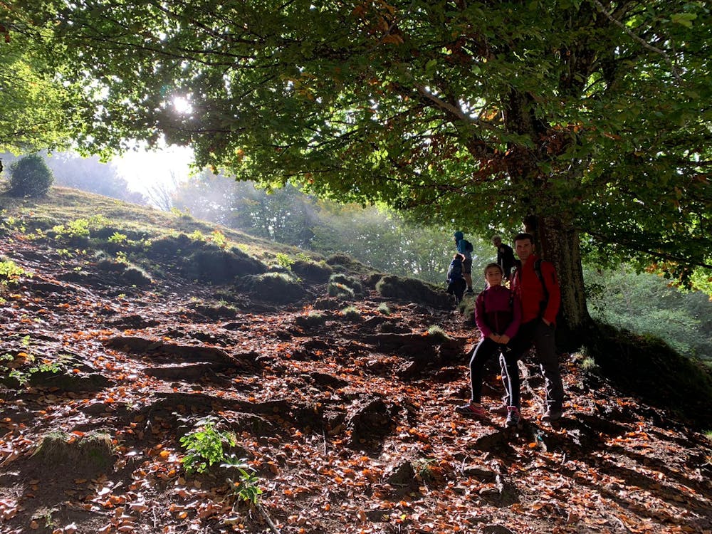
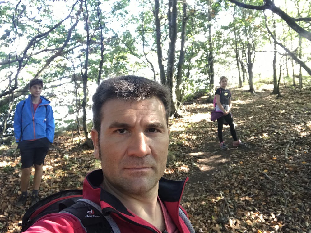
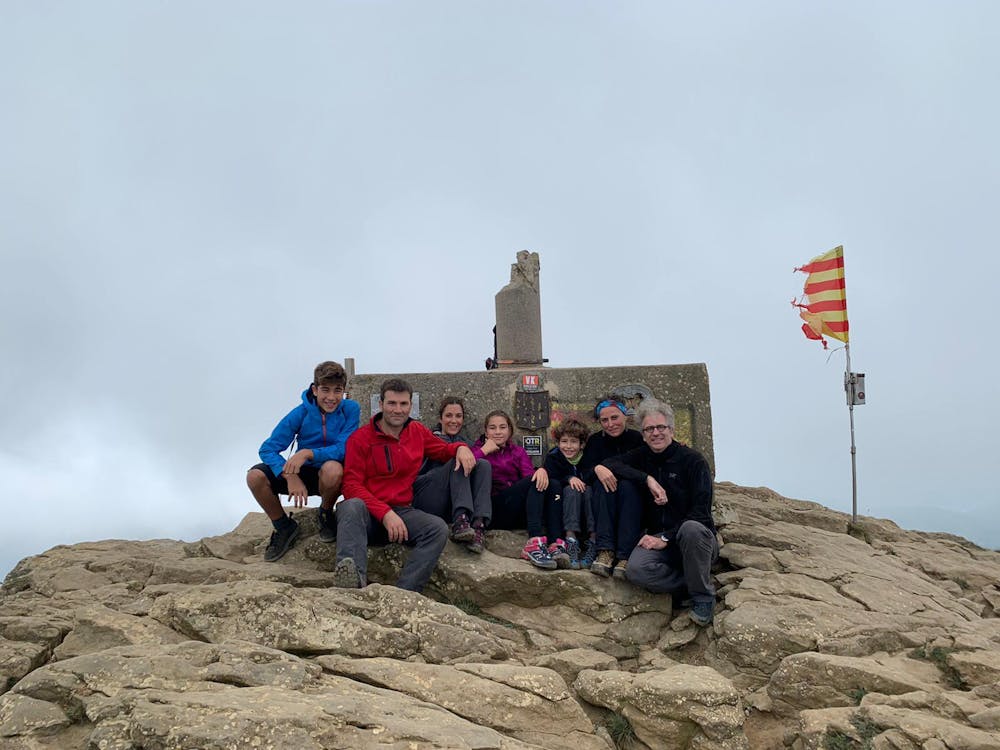
Caminada curta, amable i suau entre paisatges boscosos i amb vistes sobre la Vall d'en Bas en el tram final.
Difficulty
Easy
Walking along a well-kept trail that’s mostly flat. No obstacles are present.
Low Exposure

The path is on completely flat land and potential injury is limited to falling over.
Remoteness
Close to help in case of emergency.
Best time to visit
Features
- Picturesque
- Summit Hike
- Dog friendly
- Wild flowers
- Family friendly
- Forestry or heavy vegetation