Picos chute skiing
Picos de Europa
Easy access moderate chute lines.
Freeride Skiing Difficult
- Distance
- 2.6 km
- Ascent
- 456 m
- Descent
- 439 m
- Low Point
- 1.4 km
- High Point
- 1.9 km
- Gradient
- 37˚

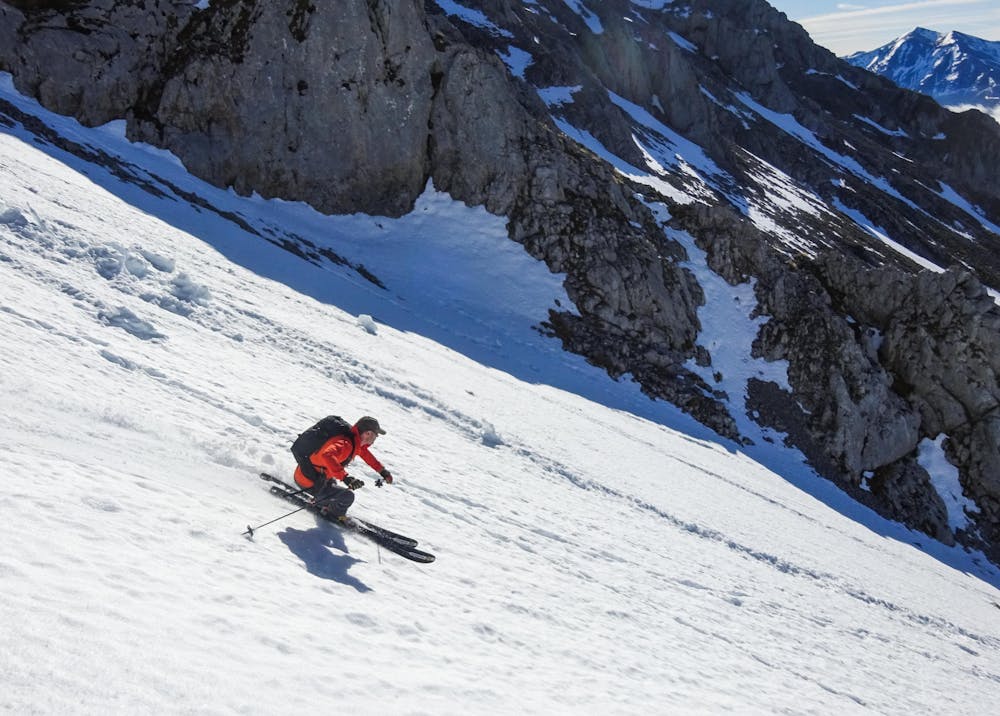
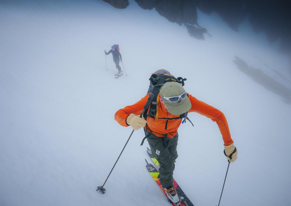
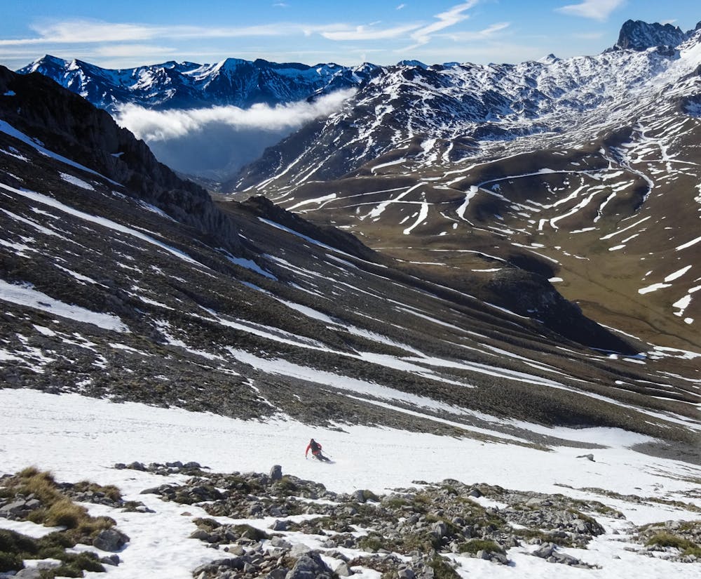
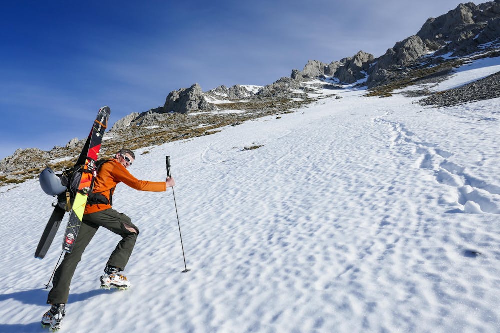
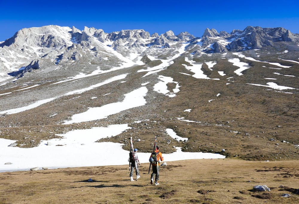
This is a popular freeride skiing route which is generally considered to be difficult. It's remote, it features medium exposure (e2) and is typically done between January and April. From a low point of 1.4 km to the maximum altitude of 1.9 km, the route covers 2.6 km, 456 vertical metres of ascent and 439 vertical metres of descent. It's graded 5.1 and Labande grade 3. You'll need skins, ice axe and crampons to complete it safely.
- •
- •
- •
- •
- •
- •
- •
Description
Steep lines in the Europa d' Picos
Difficulty
Difficult
Serious gradient of 30-38 degrees where a real risk of slipping exists.
Medium Exposure (E2)

As well as the slope itself, there are some obstacles (such as rock outcrops) which could aggravate injury.
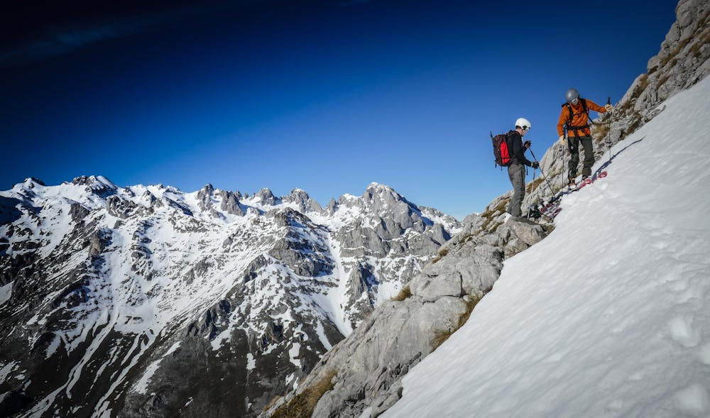
Remoteness
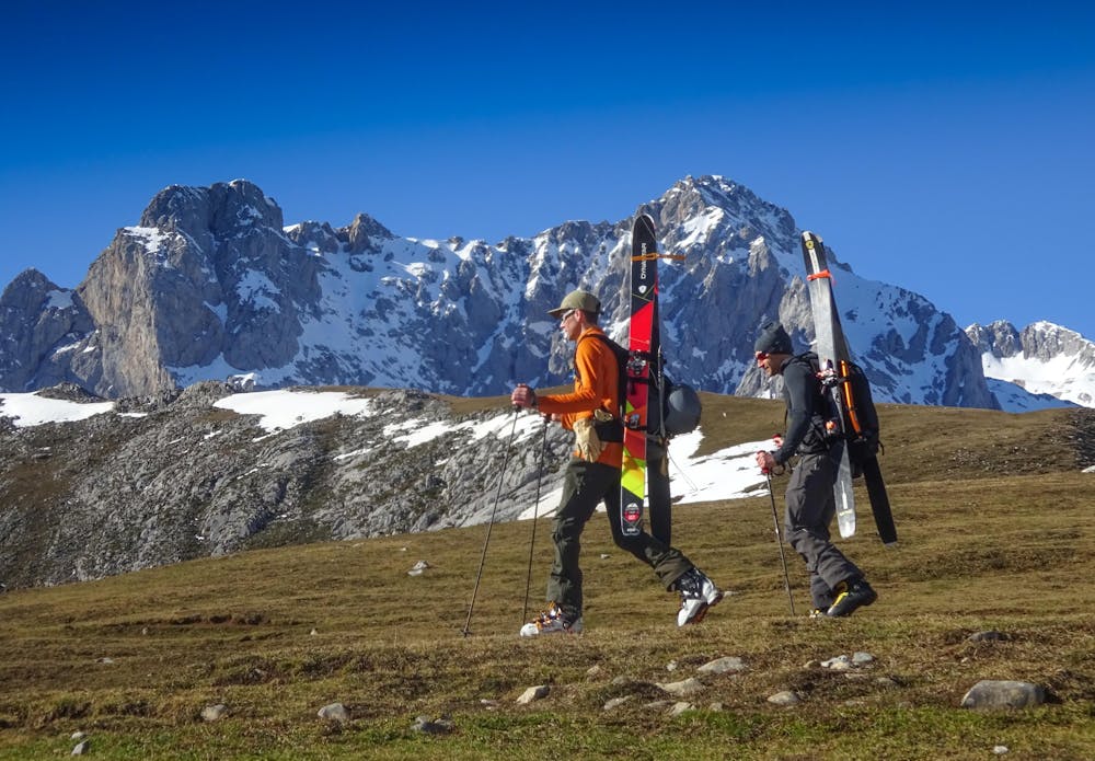
Away from help but easily accessed.
Best time to visit
Features
- Couloir
- Walk Required
Equipment required
- Skins
- Ice axe
- Crampons