Morra de Lechugales
Picos de Europa
Ascenso por la canal de Lechugales y descenso por la canal de Arredondas.
Hiking Moderate
- Distance
- 19 km
- Ascent
- 1.9 km
- Descent
- 1.9 km
- Duration
- 1 day +
- Low Point
- 635 m
- High Point
- 2.4 km
- Gradient
- 33˚
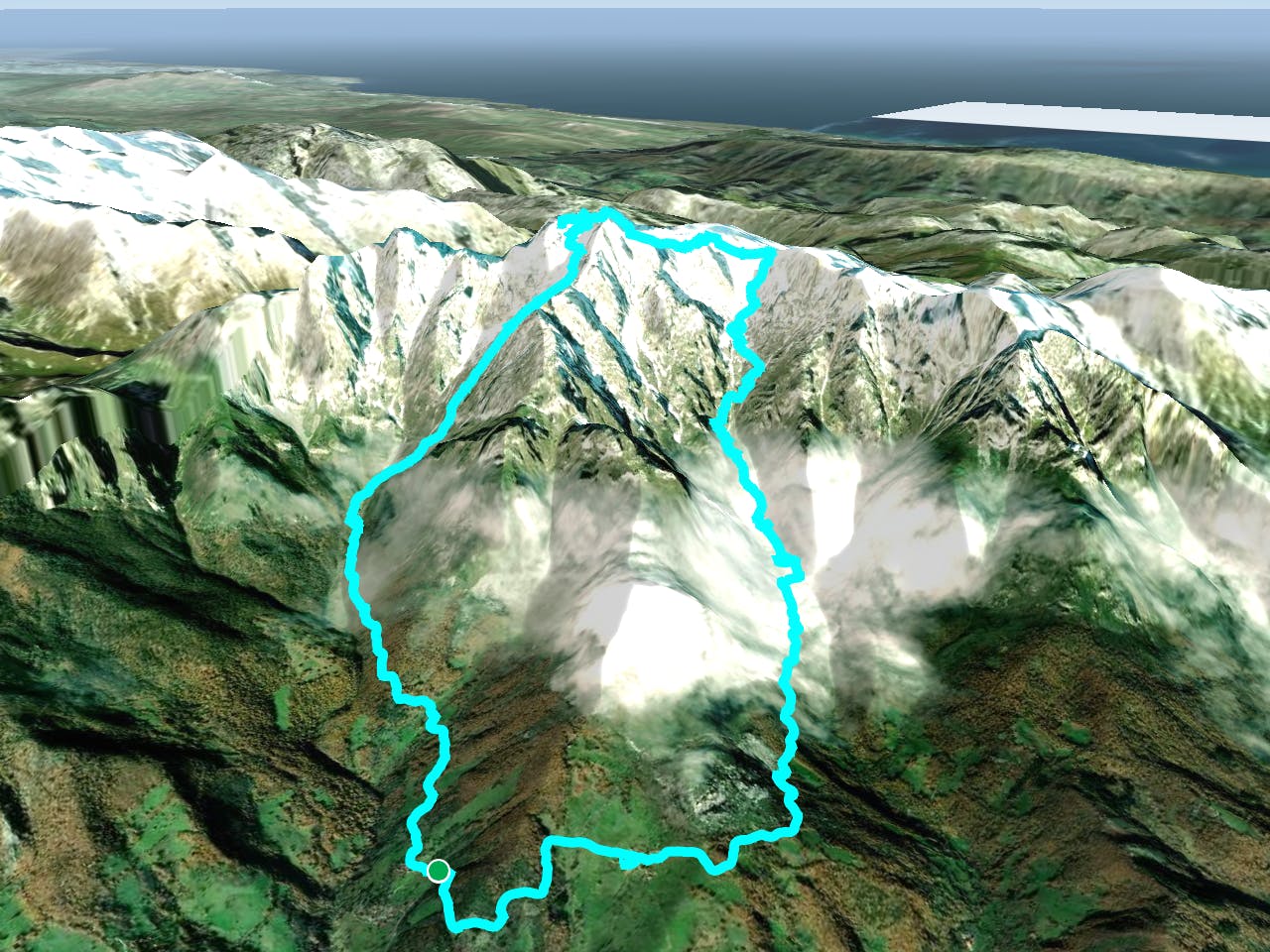
This is a popular hiking route which is generally considered to be moderate. It's not remote, it features medium exposure and is typically done between June and October. From a low point of 635 m to the maximum altitude of 2.4 km, the route covers 19 km, 1944 vertical metres of ascent and 1945 vertical metres of descent.
Description
Ruta caracterizada por el desnivel y por el pequeño paso que da acceso a la cumbre.
Difficulty
Moderate
Hiking along trails with some uneven terrain and small hills. Small rocks and roots may be present.
Medium Exposure

The trail contains some obstacles such as outcroppings and rock which could cause injury.
Remoteness

Close to help in case of emergency.
Best time to visit
Features
- Alpine
- Picturesque
- Summit Hike
- Wild flowers