Por el Puerto De Las Brañas
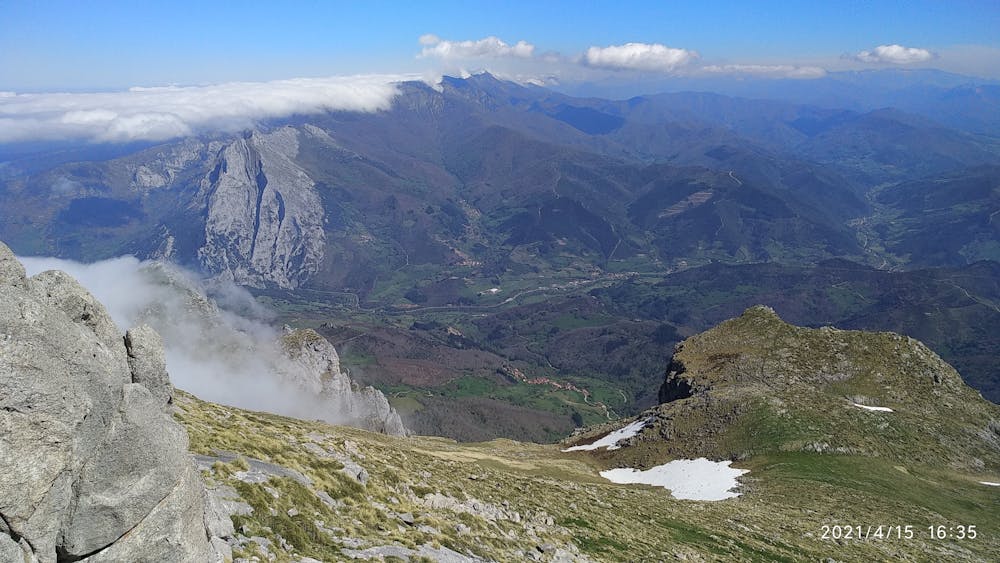
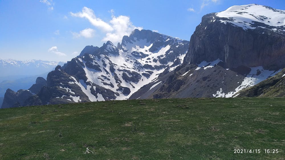
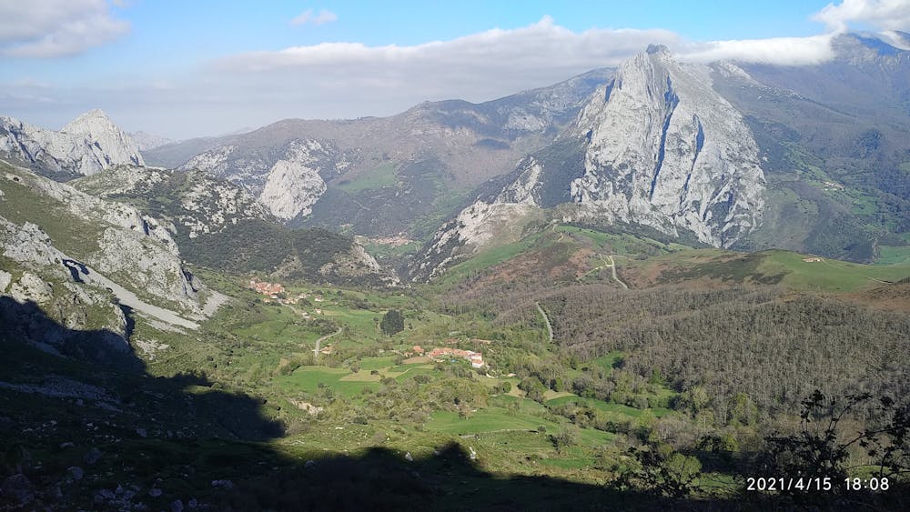
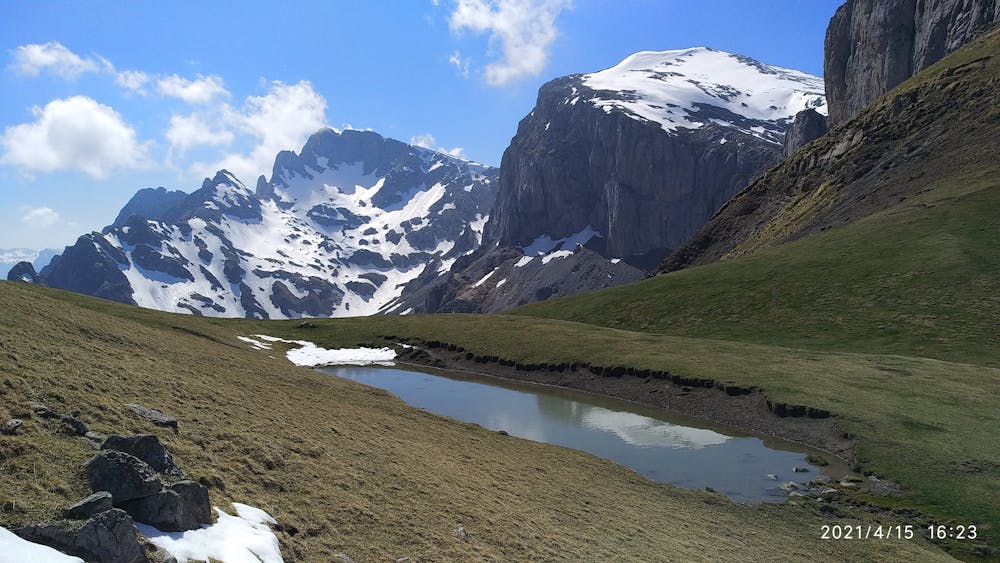
Picos de Europa
Paseo desde cerca de Colio hasta el Collado de la Llaguna pasando por las Minas De La Aurora
Hiking Moderate
- Distance
- 13 km
- Ascent
- 1.2 km
- Descent
- 1.2 km
- Duration
- 4-5 hrs
- Low Point
- 814 m
- High Point
- 1.9 km
- Gradient
- 18˚

This is a popular hiking route which is generally considered to be moderate. It's not remote, it features low exposure and is typically done between April and September. From a low point of 814 m to the maximum altitude of 1.9 km, the route covers 13 km, 1194 vertical metres of ascent and 1192 vertical metres of descent.
- •
- •
- •
- •
- •
Description
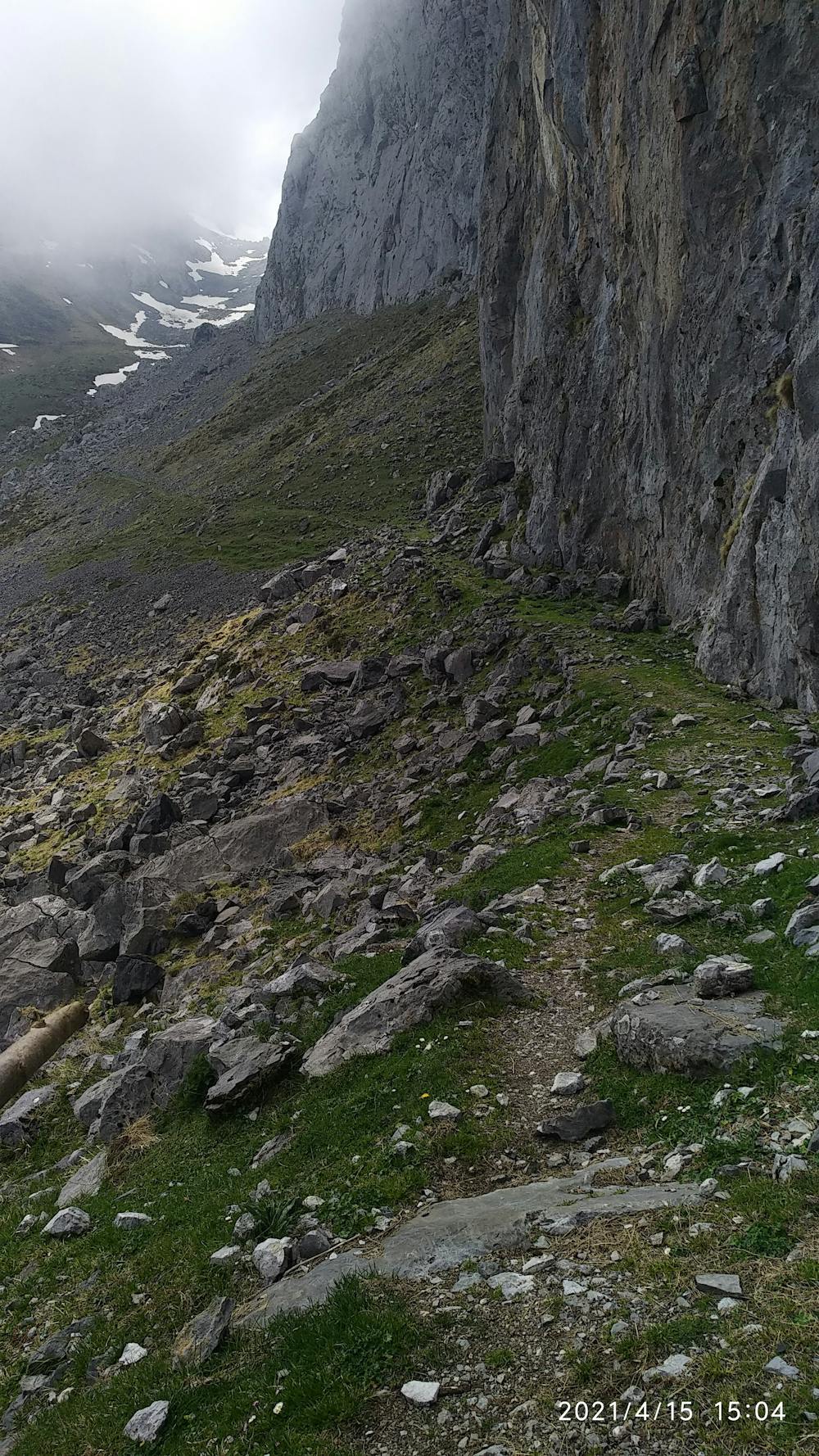
Paseo por una zona poco conocida de los Picos de Europa
Difficulty
Moderate
Hiking along trails with some uneven terrain and small hills. Small rocks and roots may be present.
Low Exposure

The path is on completely flat land and potential injury is limited to falling over.
Remoteness
Close to help in case of emergency.
Best time to visit
Features
- Alpine
- Wildlife
- Wild flowers
- Family friendly